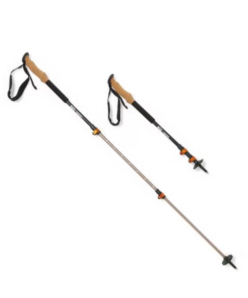
These hiking poles are sturdy, and great to help keep your balance on short or longer hikes
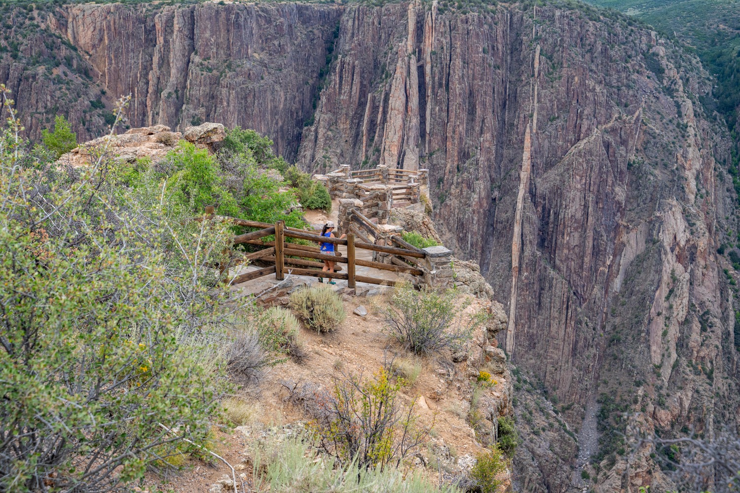
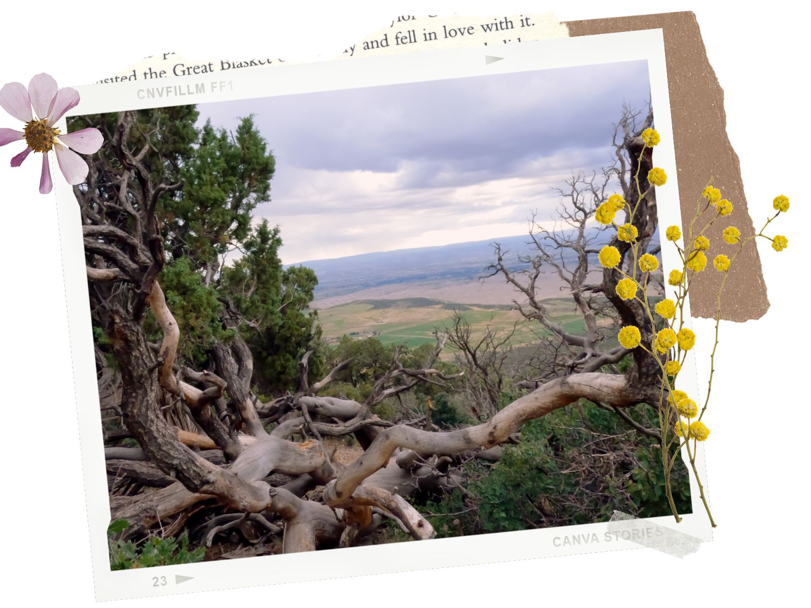
Black Canyon of the Gunnison in Colorado is one of the lesser-known national parks, similar to the Petrified Forest National Park in Arizona. What Black Canyon of the Gunnison lacks in visitors, it makes up for with breathtaking scenery and the unparalleled views of one of the steepest, deepest, and narrowest canyons in the country. Unless you’re up for some difficult hikes into the heart of the canyon, you can get some awesome panoramic views of the Black Canyon of the Gunnison National Park by driving the South Rim Road. Within 7 miles, you’ll have access to 12 overlooks and hiking trails above and into the canyon. The South Rim Scenic Drive is the best and easiest way to see dramatic, sweeping views of this underrated national park.

There is a fee to enter the Black Canyon of Gunnison National Park. You can pay at the self-pay station at the ranger station or use your American the Beautiful Pass.
Pets are allowed on the walk to the overlooks, in picnic areas, campgrounds, parking lots, and on the Rim Rock Trail ONLY. They are NOT allowed in any other areas of the park. Please DO NOT leave your pet unattended in a vehicle or campsite. Pets have to be on a leash, a maximum of 6ft in length.
The South Rim scenic road takes about 3 to 4 hours. However, it can take longer if you decide to go for a hike.
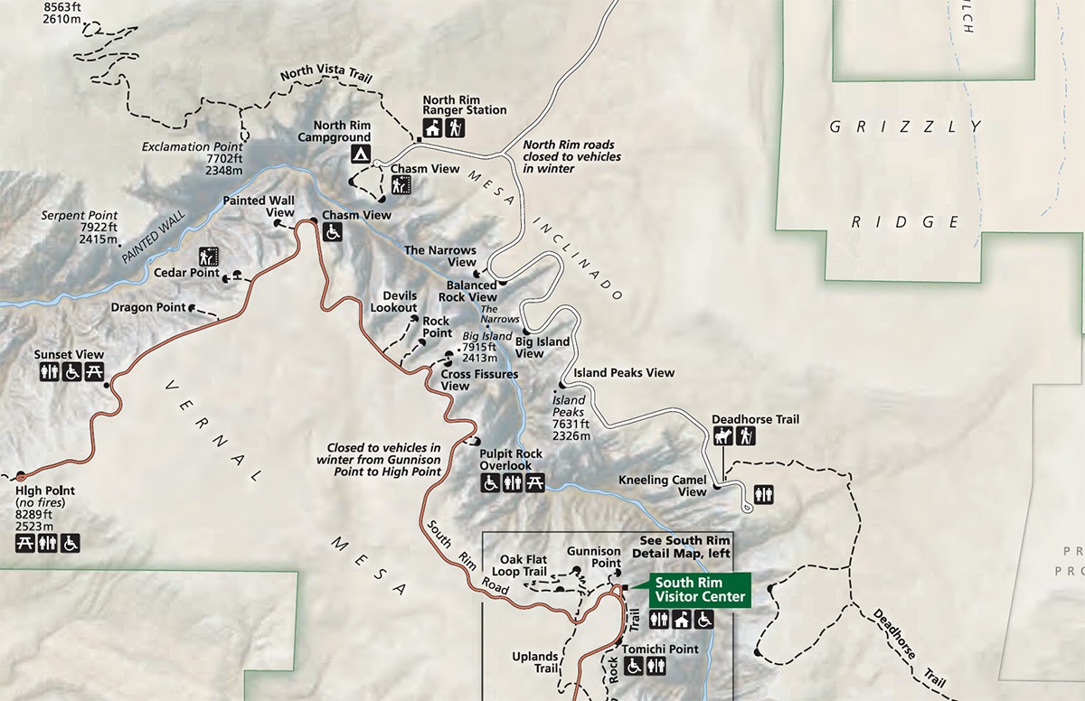
The South Rim Scenic Drive in Black Canyon of the Gunnison National Park is about 7 miles long, from Tomichi Point to High Point. There are 12 overlooks along the way, with some better than the other.
Distance: 10 feet | Time: 5 – 10 minutes
This overlook is the first one on the South Rim Scenic Drive. It is located before the Visitor Center and is part of the Rim Rock Trail. This overlook is very accessible; it is just a few steps out of your car to the viewpoint. If you can, though, we recommend taking a short walk on the Rim Rock Nature Trail. The views are beautiful.
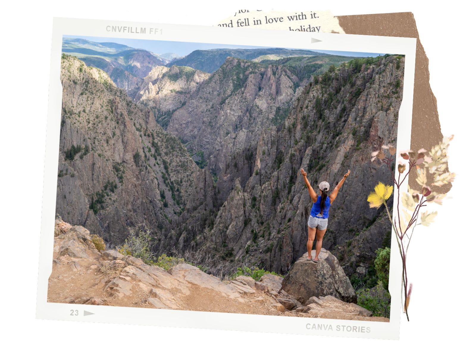
Distance: 100 yards | Time: 10 – 15 minutes
Gunnison Point is one of our favorite overlooks on the entire South Rim Scenic Drive. It is located right behind the Visitor Center. There is a short, downhill walk to a super cool viewpoint. We love how the Gunnison Point viewpoint sits lower than other viewpoints. It gives us a feeling of being immersed in the tall, dramatic cliffs. The view from this overlook is also incredible. This is also the start of the Oak Flat trail.
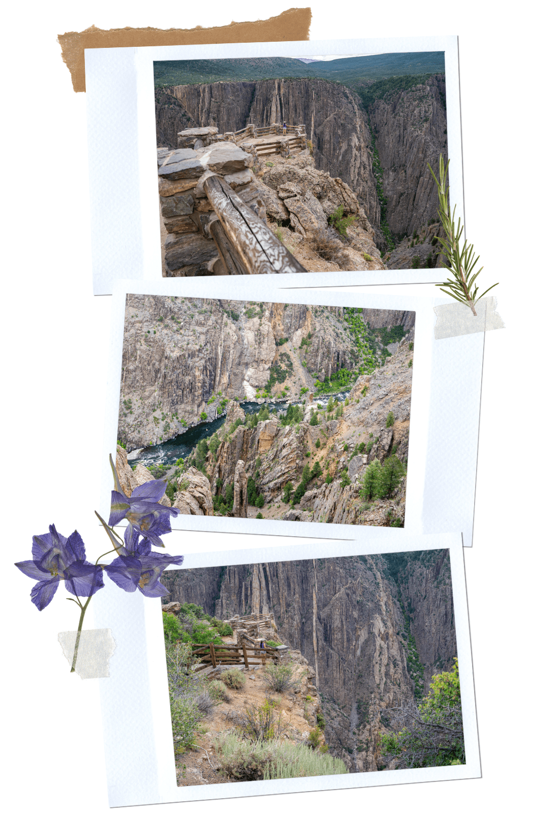
Distance: 134 yards | Time: 10 minutes
This is another overlook that we like. There is a short walk to the overlook that runs along the canyon’s rim. From the top, you can see the turquoise water running between the massive canyon walls. If you’re interested in the Ranger’s Geology Talk, this overlook is also the meetup point.
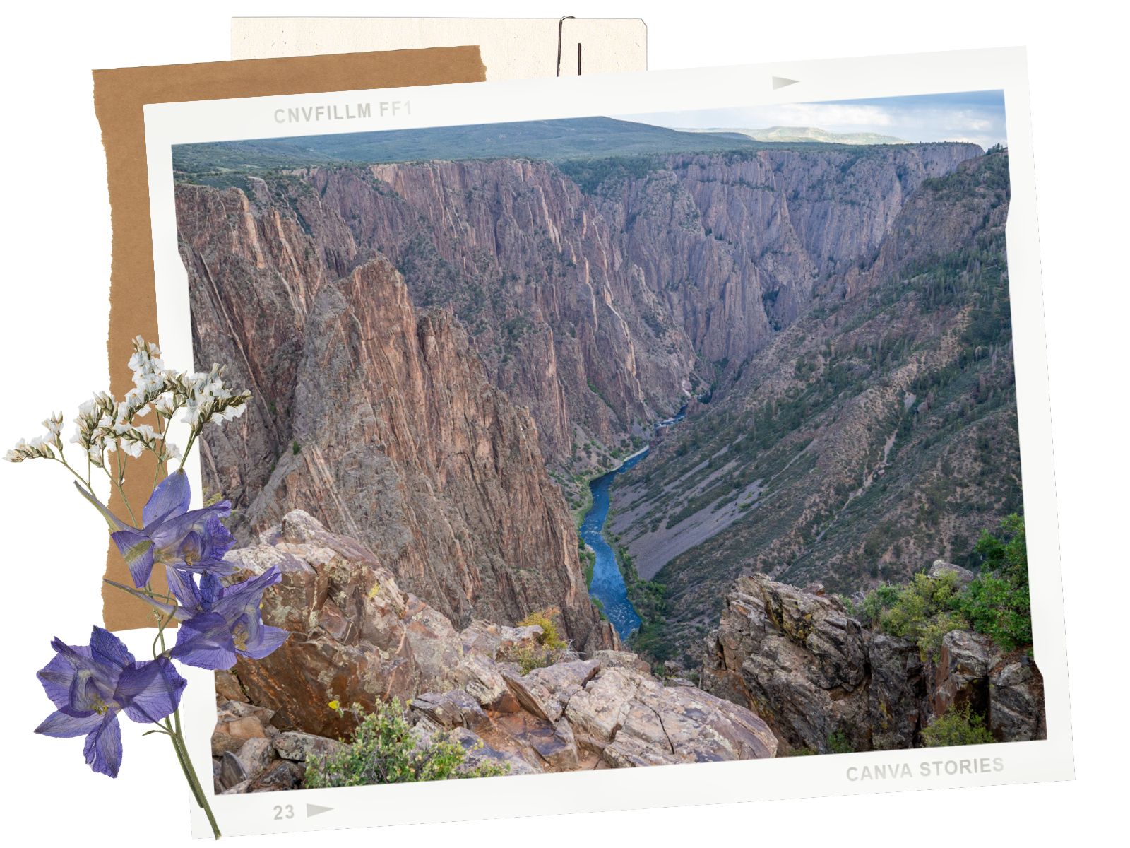
Distance: 357 yards | Time: 15 – 20 minutes
This lollipop loop has views of the jagged rock walls within the canyon. It was interesting to see a different aspect of the Black Canyon of the Gunnison. This viewpoint is also one of the less crowded ones along the South Rim Road.
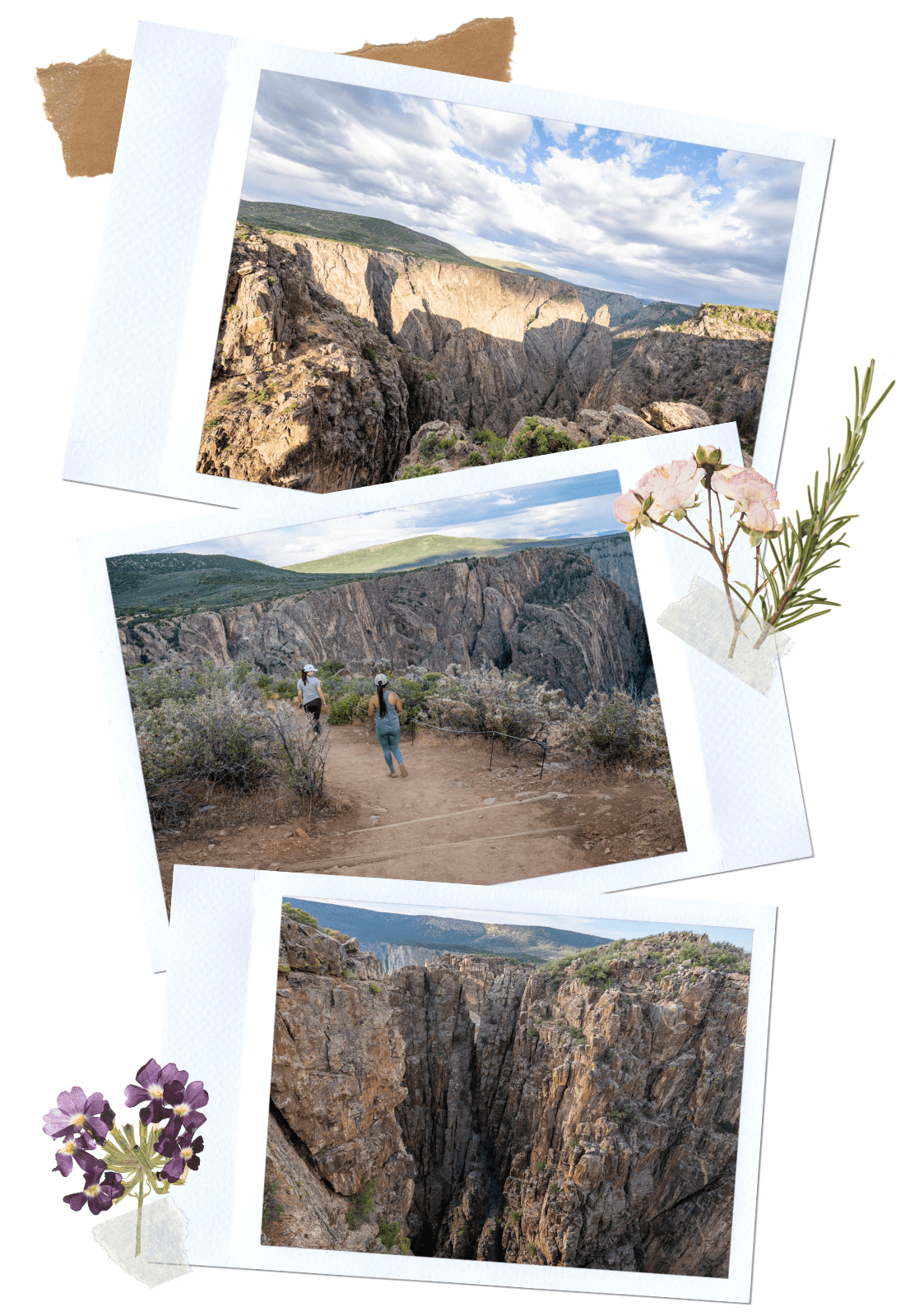
Distance: 294 yards | Time: 15 minutes
Rock Point looks quite similar to the Cross Fissures View. So if you see the other one, you can skip this overlook.
Distance: 607 yards | Time: 20 – 30 minutes
This overlook has the longest walk out of all of the other overlooks along the South Rim Scenic Road in Black Canyon of the Gunnison National Park. We skipped this one. From our research, even though the view is decent, it is not worth the walk, especially in the heat.
Distance: 100 yards | Time: 10 minutes
From the top of the Chasm View, we could look down and see the canyon at its narrowest point. We could also see and hear the rushing water of the Gunnison River. It was also interesting to learn about some of the climbing routes here. If you’re here on a good day, you could see climbers attempting the difficult 5.12 route below.
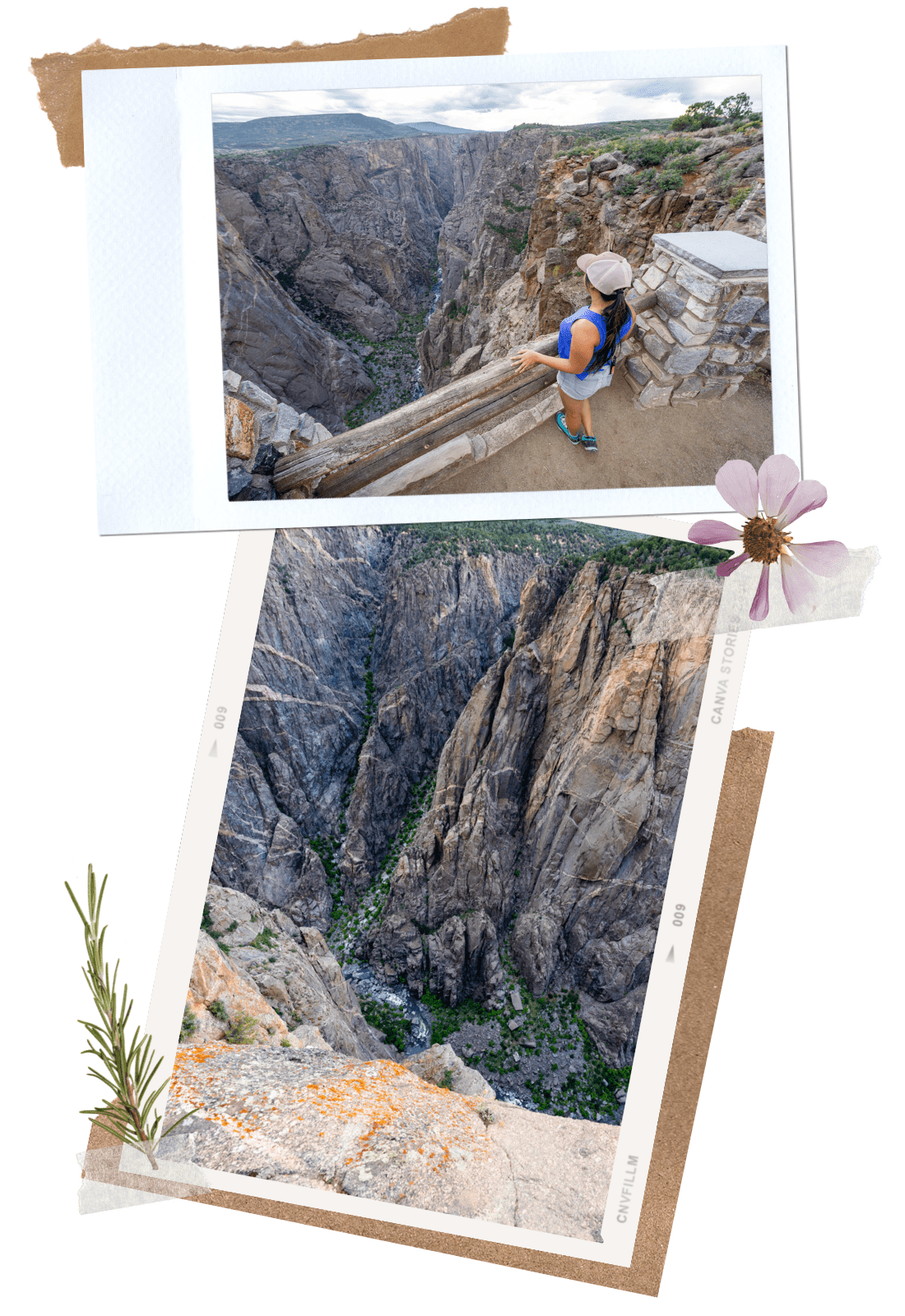
Distance: 200 yards | Time: 10 – 15 minutes
The Painted Wall overlook is another one of our favorites. It is probably one of the most dramatic views along the South Rim Scenic Drive in the Black Canyon of the Gunnison. Rising at 2,247ft, this impressive canyon wall is almost as tall as the Burj Khalifa. The canyon wall is also accented by vivid bands, hence the name. These rock bands were formed by molten rock seeping through fissures in the surrounding rock about 1.7 billion years ago. As the rock solidified, minerals developed, creating the interesting stripes on the rock today.
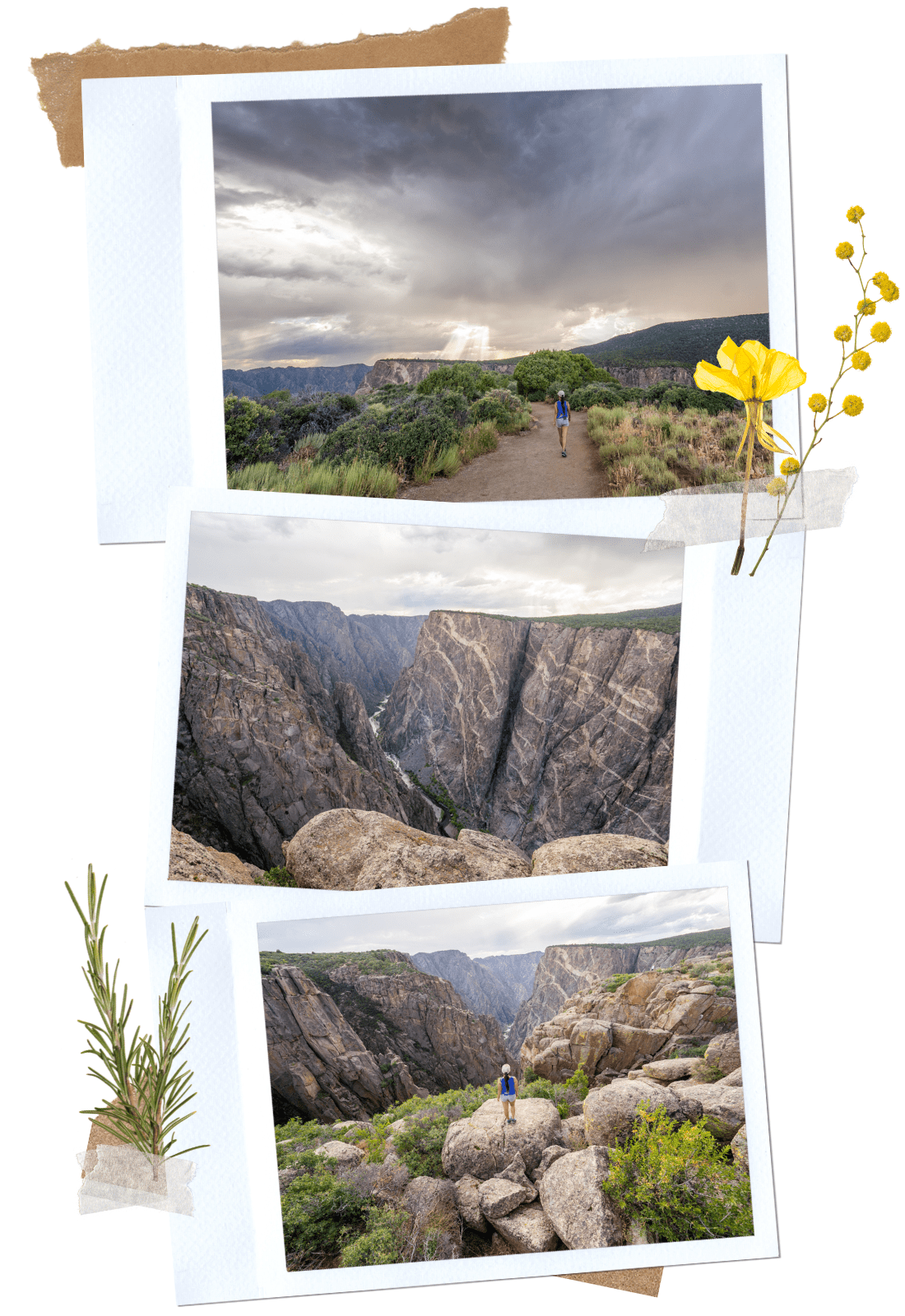
Distance: 303 yards | Time: 15 – 20 minutes
The viewpoint from Cedar Point is very beautiful. However, it is also very similar to Dragon Point. You can choose to do one or the other. We skipped this one and did Dragon Point instead.
Distance: 100 yards | Time: 10 minutes
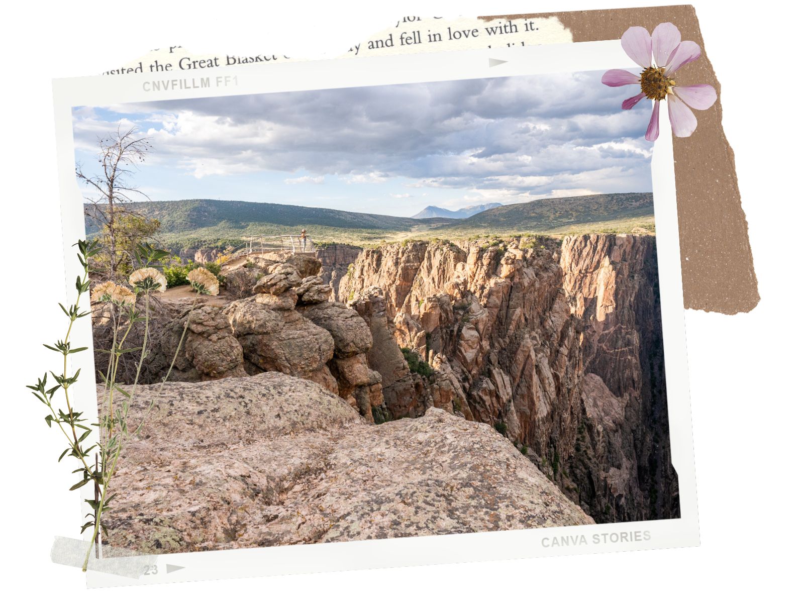
Dragon Point is another wonderful overlook in the park. From here, we got to see both the striped walls of the North Rim side and the rushing Gunnison River, as well as the steep canyon walls on both sides. The view here is similar to Cedar Point, but the hike is shorter. So, we opted to do this one instead of Cedar Point.
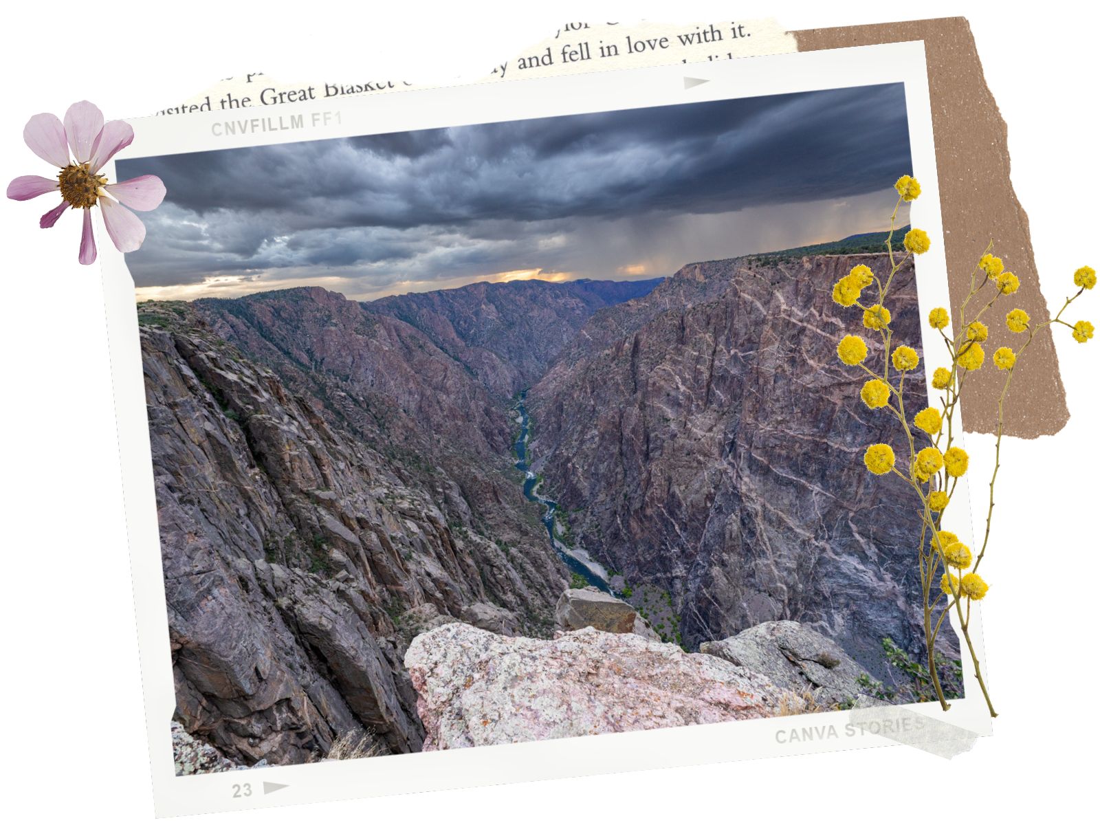
Distance: 10 feet | Time: 5 minutes
Sunset View overlook is a short walk to a decent view. However, it is not the best view of the South Rim Road. If you want to skip this one, you won’t be missing much. It is a good place to watch the sunset though.
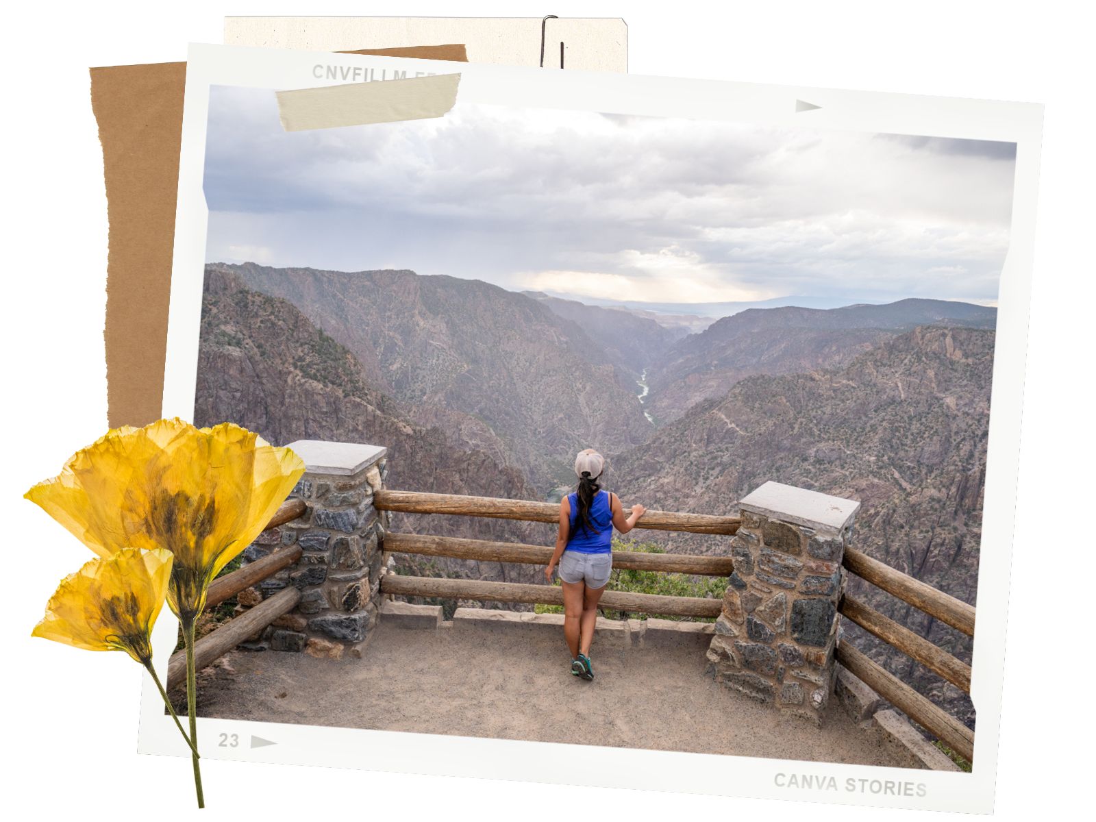
Distance: 100 yards | Time: 10 minutes
High Point and Warner Point Natural Trail is located at the end of the South Rim Scenic Road. To get to the viewpoint from the parking area, you can take the short Warner Point Nature Trail. There is also a restroom in the parking area. Since the viewpoint faces South, you’ll have views over Montrose and the Uncompahgre Valley instead of the canyon. In our opinion, the view isn’t worth it unless you want to check out the hiking trail
If you haven’t yet, check out the North Rim side of the Black Canyon of the Gunnison. It is a more remote, less crowded side of the park. If you love canyons or slot canyons, our favorite is the Buckskin Slot in Utah or Sidewinder Canyon in Death Valley NP. If you love scenic drives, Yankee Boy Basin in Ouray is breathtaking. You will need 4WD, though.
Happy Adventuring. Don’t forget to check out the related posts below for more inspiration on your upcoming adventures. While at it, follow us on Instagram and subscribe to our YouTube channel! We’ll love you forever!
These are the gear that we personally use and find helpful for this particular adventure. Don’t forget to check out our Recommended Gear section as well.

These hiking poles are sturdy, and great to help keep your balance on short or longer hikes
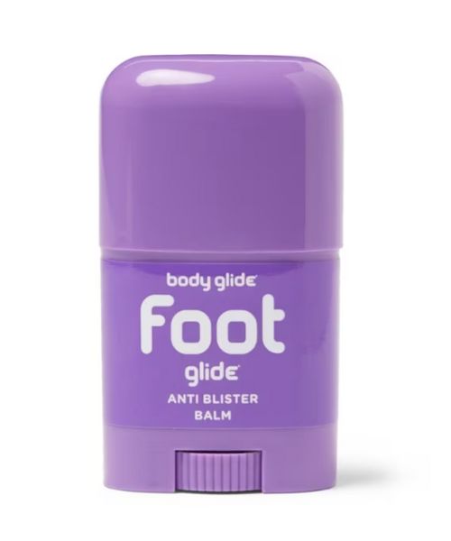
If you tend to have foot blisters on hikes, get this! We use this all the time.
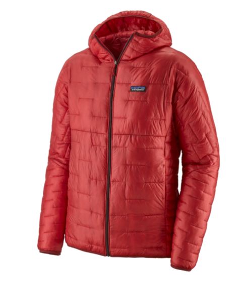
Our favorite hiking/travel jacket. It's warm and packable, perfect to bring on a hike or a road trip.
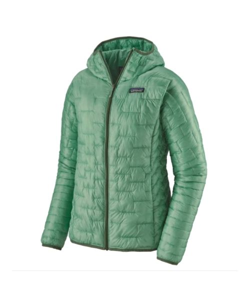
Our favorite hiking/travel jacket. It's warm and packable, perfect to bring on a hike or a road trip.
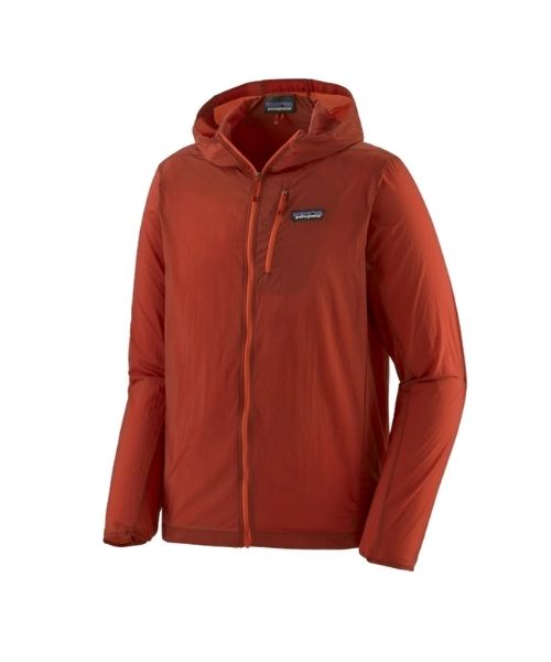
This jacket is packable into a super small and light little ball. Perfect for when you just need a little…
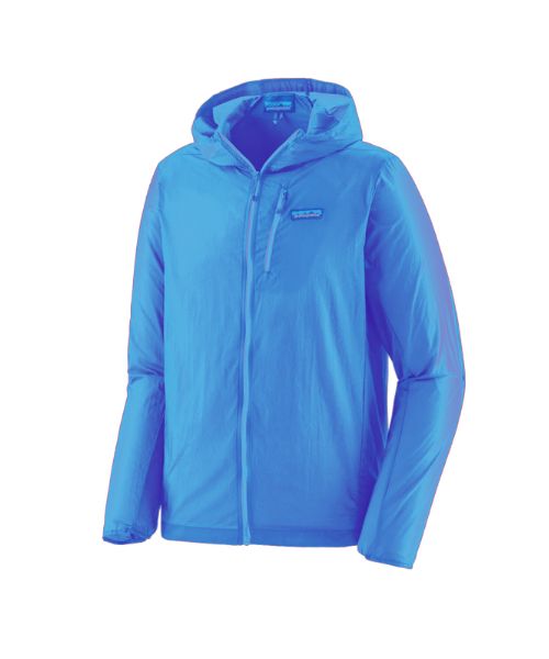
This jacket is packable into a super small and light little ball. Perfect for when you just need a little…
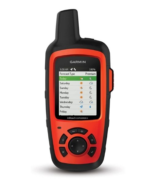
It's always good to bring a GPS tracker with you. We use the Garmin inReach.
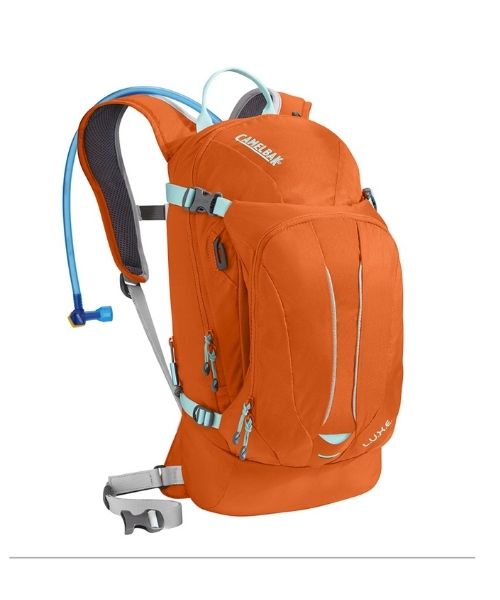
This is Vy's favorite hiking bag! It has tons of room for snacks and water!


Our favorite biodegradable, eco-friendly, reef-safe sunscreen!
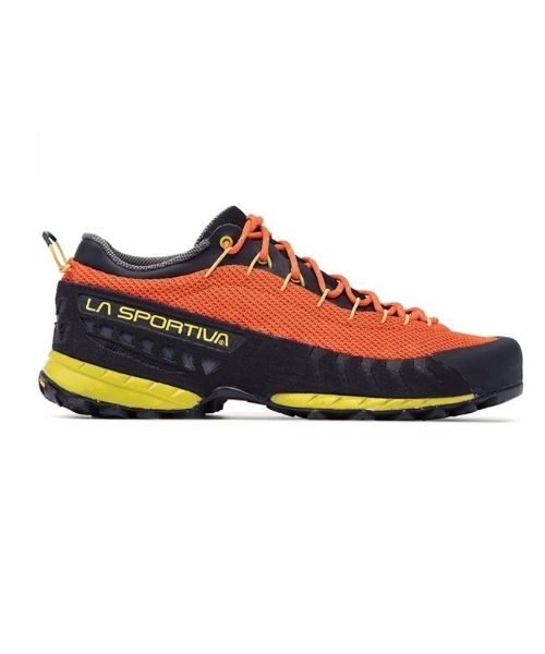
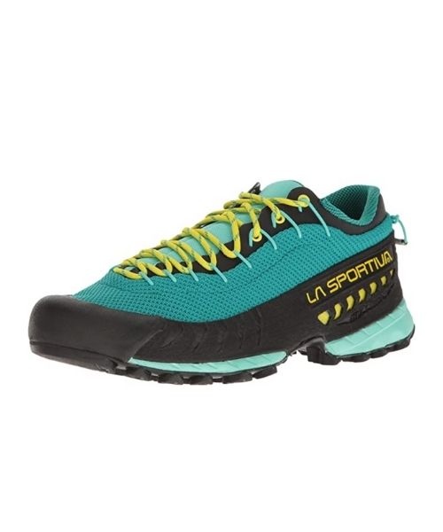
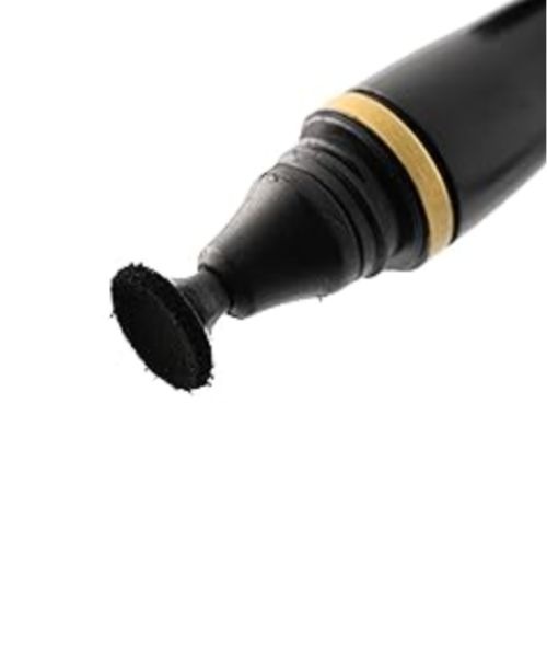
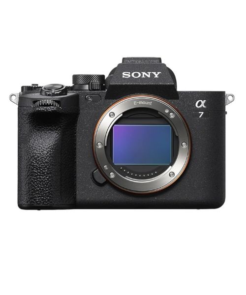
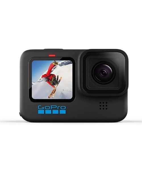
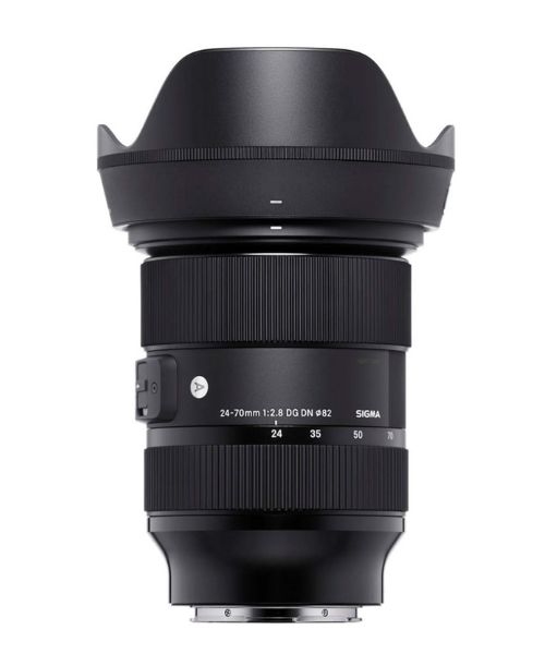
This is our go-to camera for all of our adventures. It comes with us everywhere!
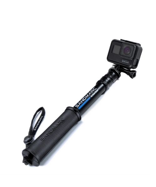
Compact GoPro pole that extends to 25", perfect to bring on your adventure.
Nice to meet you!
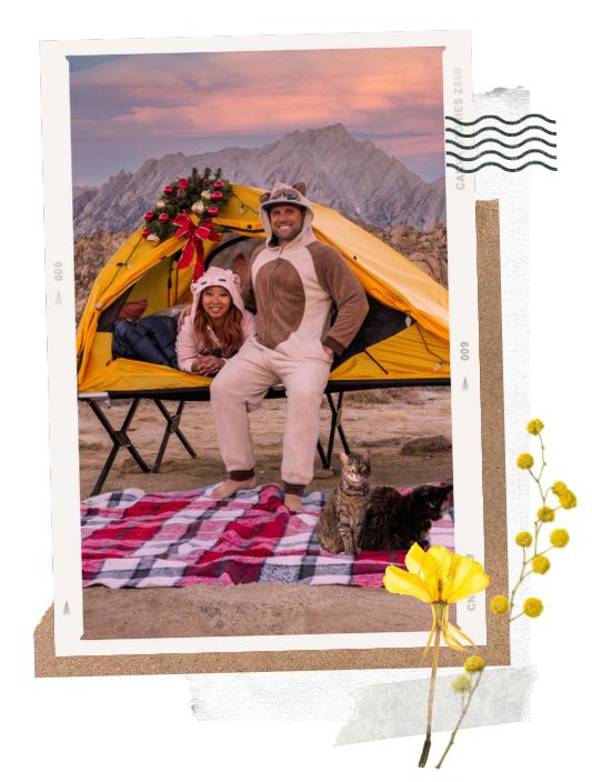
Hi! We are Dustin & Vy, the proud creators of Live That Adventure. We created this website because we wanted to inspire others to live their lives to the fullest. On here, you’ll find everything from hiking, canyoneering, kayaking, and snorkeling to adventure and travel tips, gear reviews, and bucket list items such as bungee jumping or wing walking. We’ll show you the ropes so you can do them too!
Subscribe
Get our best adventure tips, guides and more send to you!
Subscribe
Get our best adventure tips, guides, and more send to you!