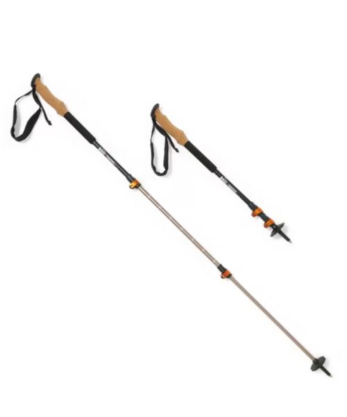
These hiking poles are sturdy, and great to help keep your balance on short or longer hikes
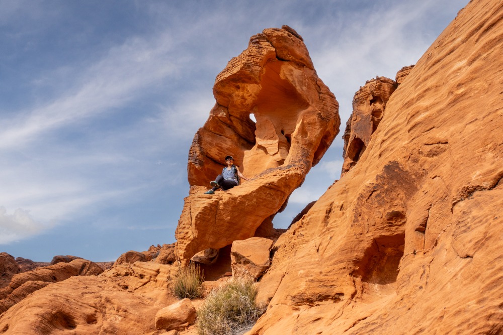
For a short and easy hike, Mouse’s Tank Trail (also known as Petroglyph Canyon Trail) in Valley of Fire State Park, Nevada has a lot to offer. Mouse’s Tank prefers to a natural water basin where water collects after rainfall. It is located at the official end of this 0.7-mile (round trip) hike. Along the trail, there are tons of prehistoric petroglyphs, as well as beautiful rock formations and arches. And if you love scrambling like we do, you’ll love climbing on these sticky sandstone boulders. Not only is Mouse’s Tank (Petroglyph Canyon) Trail very beautiful, but it is also fun to explore. Therefore, this trail is perfect for everyone, from beginners to experienced hikers, from children to the elderly.

Petroglyph Canyon Trailhead
36.441073, -114.516477
There is a small parking lot in front of the trailhead. If that is full, there is another one just down the road.
Valley of Fire State Park charges a fee to enter. For more information, please visit the park’s website.
Vault toilet at the trailhead.
Dogs are allowed, but they have to be on a leash.
0.7 mi R.T.
49 ft
Easy
15 – 30 minutes
We recommend hiking Mouse’s Tank Trail in the cooler seasons. This is the desert so it can get very warm in the summer.
Mouse’s Tank (Petroglyph Canyon) Trail is located along the main scenic Mouse’s Tank Road inside Valley of Fire State Park, about an hour from Las Vegas. The easiest way to reach Valley of Fire from Las Vegas is to take I-15 North for 33 miles. Then, exit off Valley of Fire Hwy. Follow Valley of Fire Hwy for about 18 miles, then turn left onto Mouse’s Tank Road. Follow Mouse’s Tank Road for about 1 mile until you see the parking lot for Petroglyph Canyon on the right-hand side. If that parking lot is full, there is another one on the left-hand side, just right down the road.
We stopped by Mouse’s Tank after hiking the White Domes Trail. Because Mouse’s Tank (Petroglyph Canyon) Trail is a very popular trail, by the time we got to the parking lot, it was full. We ended up parking at the overflow lot, a short walking distance from the trailhead.
Mouse’s Tank (Petroglyph Canyon) Trail meanders through the beautiful canyon, made up of vibrant red sandstones and interesting rock formations. Soon after we started our hike, we quickly spotted our first set of petroglyphs. It is a big slab of rock on the left-hand side of the trail with tons of petroglyphs. It was interesting to see because most of these petroglyphs are at least 2,500 years old, a legacy of the Basketmaker culture. These petroglyphs are surprisingly well intact and easy to spot, despite their exposure to the elements and human touch. The park, as well as us, prefer to keep it that way. So, if you’re visiting, please don’t add your own or damage them. This rock here reminds us of the Atlatl Rock, another popular spot to see petroglyphs.
Besides this big rock, we found many more petroglyphs along the trail. Most of these petroglyphs are on the left-hand side of the Mouse’s Tank (Petroglyph Canyon) Trail and a few are on the right side. The best way to spot these etchings is to look for the dark surfaces on the rocks. These dark surfaces are known as desert varnish, made up of iron and manganese. The Basketmaker used this dark surface to carve out the petroglyphs.
Near the end of the official trail, the wide path via left, following the trail marker. At the end of the official trail is the Mouse’s Tank. As we mentioned above, the mouse’s tank is the name of the two potholes used by Little Mouse, a Southern Paiute Indian, who hid out there in the 1890s. He was accused of killing two prospectors. Eventually, he was found and killed while trying to escape.
Now, if you’re not ready for the adventure to end, there are so many scrambling areas to explore. Before turning left toward the end of the trail, we went straight through the narrow canyon and kept exploring. If you’re brave enough, there are multiple slots and arches waiting to be explored. Please be careful if you’re exploring off-trails or scrambling. It is easy to get lost if you’re not paying attention.
At the end of the trail, if you want, you can climb up the steep crevice on the left side of the potholes. This section is steep but there are a lot of steps so it’s not that bad. From the top, you’ll have a different view of the potholes and the wash below. Most people stop here. We did. However, you probably could continue. Again, if you go off-trail, please make sure to be careful and bring a tracker like the Garmin InReach, just in case you get lost or get into trouble. Once you’re done, return the same way.
This hike is one of our favorite hikes in Valley of Fire State Park. Another one is the Pastel Canyon, which you can connect to the Fire Wave. If you love slot canyons, the White Domes trail is just down the road. Another hike we like is the White Owl Canyon trail, an easy one near Lake Mead, not too far from Vegas. If you’re looking for more things to do in Valley of Fire, check out our guide.
Happy Adventuring. Don’t forget to check out the related posts below for more inspiration on your upcoming adventures. While at it, follow us on Instagram and subscribe to our YouTube channel! We’ll love you forever!
These are the gear that we personally use and find helpful for this particular adventure. Don’t forget to check out our Recommended Gear section as well.

These hiking poles are sturdy, and great to help keep your balance on short or longer hikes
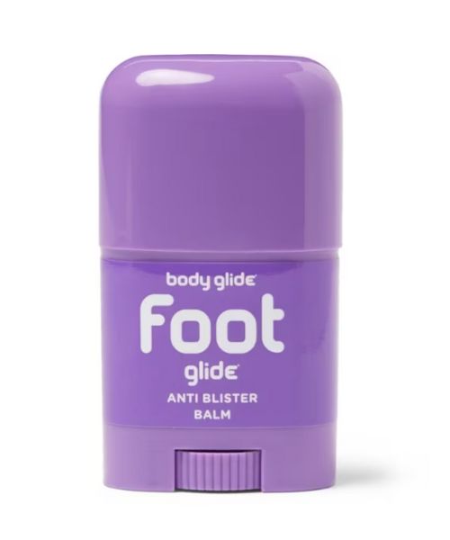
If you tend to have foot blisters on hikes, get this! We use this all the time.
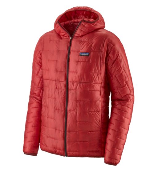
Our favorite hiking/travel jacket. It's warm and packable, perfect to bring on a hike or a road trip.
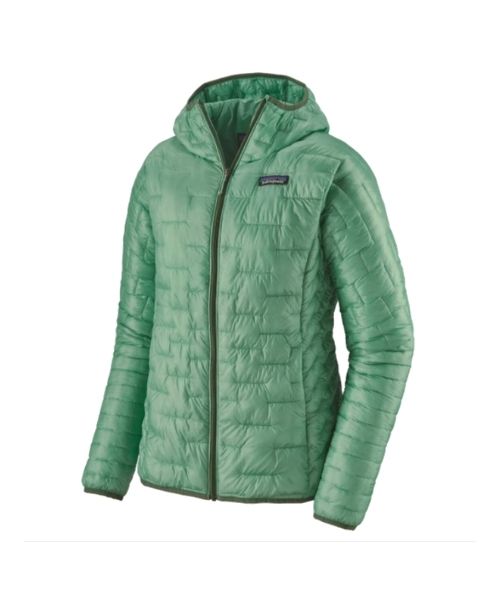
Our favorite hiking/travel jacket. It's warm and packable, perfect to bring on a hike or a road trip.
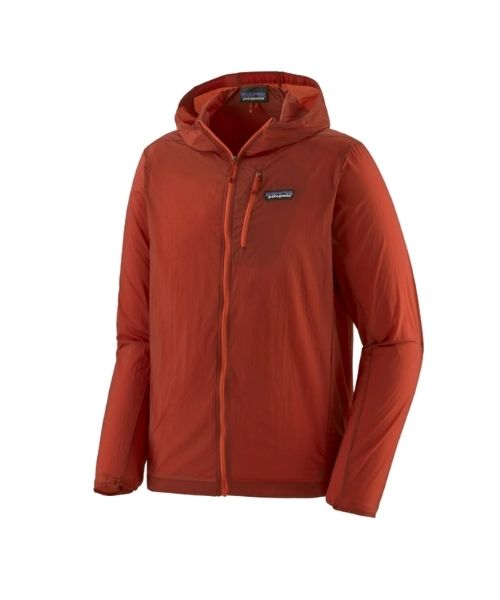
This jacket is packable into a super small and light little ball. Perfect for when you just need a little…
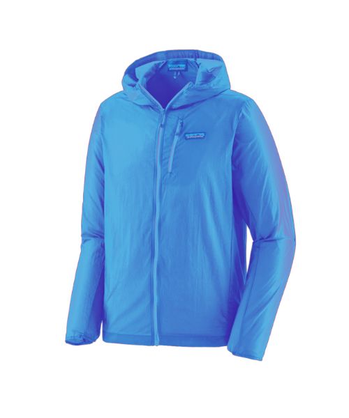
This jacket is packable into a super small and light little ball. Perfect for when you just need a little…
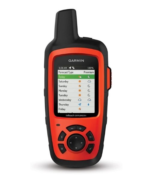
It's always good to bring a GPS tracker with you. We use the Garmin inReach.
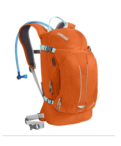
This is Vy's favorite hiking bag! It has tons of room for snacks and water!


Our favorite biodegradable, eco-friendly, reef-safe sunscreen!
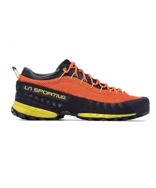
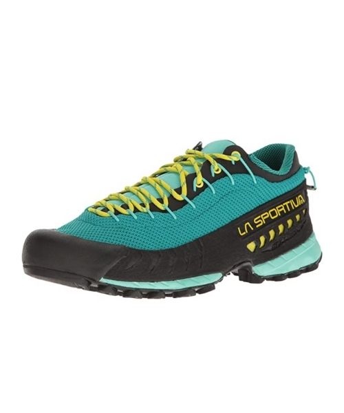

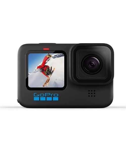
This is our go-to camera for all of our adventures. It comes with us everywhere!
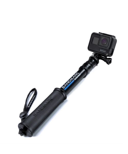
Compact GoPro pole that extends to 25", perfect to bring on your adventure.

Nice to meet you!
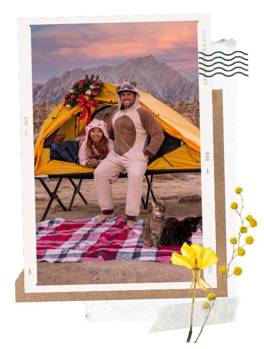
Hi! We are Dustin & Vy, the proud creators of Live That Adventure. We created this website because we wanted to inspire others to live their lives to the fullest. On here, you’ll find everything from hiking, canyoneering, kayaking, and snorkeling to adventure and travel tips, gear reviews, and bucket list items such as bungee jumping or wing walking. We’ll show you the ropes so you can do them too!
Subscribe
Get our best adventure tips, guides and more send to you!
Subscribe
Get our best adventure tips, guides, and more send to you!