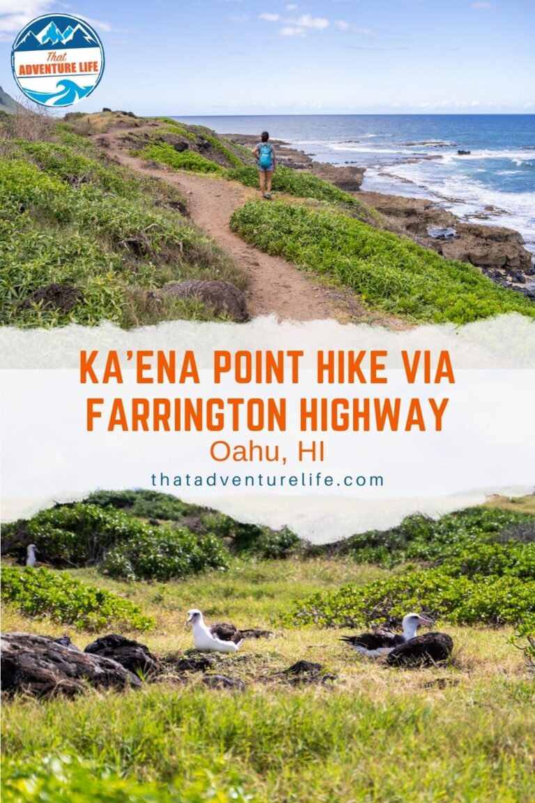
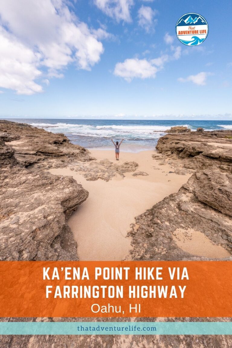
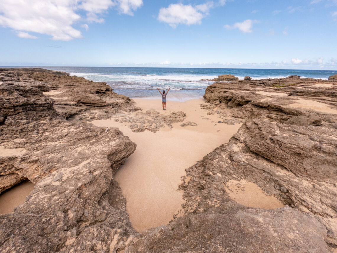
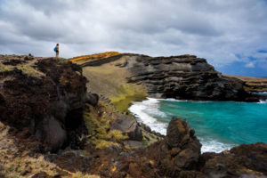
In ancient times, Kaena Point, the westernmost point in Oahu, was also known as leina a ka‘uhane, the leaping place of souls. Hawaiian believe that this is where the spirits of the recently dead could be reunited with their ancestors. Nowadays, Kaena Point is a bird sanctuary, home to the Laysan Albatrosses, a very large, protected specie of seabirds as well as other marine life. There are two routes to access Kaena Point, one via Farrington Highway (North Shore Area) and the other via the west side of Oahu. Since we did the west side hike to Kaena Point a few years back, this time, we decided to check out the hike to Kaena Point via Farrington Highway.
Note: Please make sure to respect this beautiful place and the surrounding areas. Always practice LEAVE NO TRACE. This means no loud music, no graffiti, no taking artifacts or fossilized items, and pack out what you pack in! Please help us protect this place for generations to come!
Stats
Where
Kaena Point Hike via Farrington Highway Trailhead
21.578980, -158.237152
Parking
There are dirt parking on both sides of the road.
Restroom
There is no restroom
Fee
FREE
Important Things
- This trail is hot and dry area with little shade.
- Don’t leave any valuable in the car to prevent break-in.
- The albatrosses and monk seal are protected. Please DO NOT harass them.
Distance
5 miles R.T.
Elevation Gain
226 ft
Level
Easy
Time:
About 1.5 to 3 hours
Pet-friendly
Dogs aren’t allowed on this trail.
Ideal Time
This trail can be access year-round, however, go as early as possible. The Kaena Point Hike is notorious for being hot and humid so go early to avoid the heat.
Weather
Video
Kaena Point Hike – What You Need To Know
Ka‘ena Point State Park wraps around the northwest corner of Oahu and is composed of two sections: the Ka‘ena Point Mokuleʻia Section (north shore of Oʻahu) and the Ka‘ena Point Keawa’ula Section (west side of Oahu). This means there are 2 different access points to get to this beautiful, remote place. Access point #1 is via the Makaha/Waianae area (west side) and is a 2.4-mile hike to Kaena Point. Access point #2 is at the end of Farrington Highway, in the Mokuleia area with 2.5 miles each way. Both of these routes start and end at the same access points since there aren’t any convenient ways to drive or walk over to the other access point. It is roughly about 1.5 to 2-hour drive from one access point to the other, depending on traffic.
If you want peace, and quiet and a chance to see humpback whales or dolphins, we recommend hiking to Kaena Point via the west side. If you prefer easy, go via the North Shore (Mokuleia) area. Both routes are beautiful with rugged coastlines, however, you’ll be sharing the Kaena Point hike with bikes and off-road vehicles if you go via North Shore.
Getting to Kaena Point Hike Via Farrington Highway (North Shore)
Getting to the trailhead for Kaena Point on the North Shore side is pretty easy. You should be able to map your way there using the coordinates above or search for Kaena Point Trailhead. However, make sure that it is on Farrington Hwy in Waialua. To get to the trailhead, drive toward the north shore and follow Farrington Hwy to the west, all the way to the end of the road. Once you get to the end of the highway, there are dirt parking lots on both sides of the road. You’ll also see a yellow gate blocking the access. The trail begins after that yellow gate. If you’re hiking or biking, you should be able to make it through. If you want to drive your car, you’ll need to apply for a special permit, and you will need 4WDs.
The Adventure
The Start of the Hike
Since the hike to Kaena Point via Farrington Highway is notorious for being a hot hike, we arrived at the parking lot bright and early in hope of beating the heat. It was early in the morning, in the winter, yet the heat was already sweltering. Luckily, the hike itself was quite straightforward and easy. Most of the time, we followed the main dirt road as it curves around the base of the big mountain range. This main dirt road can be rocky and full of rain ruts. If you stay on this road, make sure to watch out for cars. Even though it is not that frequent, we still came across a few vehicles making their way to the beach.
This dirt road isn’t that close to the shoreline. However, there are a series of intersecting trails that you can hike that are lined along the rugged coastline. Even though there are many intersecting trails, you won’t get lost as long as you follow along the coastline. If you decide to stay on these side trails, make sure to watch your footing. Some of them are either overgrown, have potholes, or are very rocky. Because we came with our parents, we mostly stay on the main trail with the occasional side trails to check out the beautiful coastline.
Getting to the Metal Fence
Even though the hike to Kaena Point via Farrington Highway is easy, it was VERY hot. There aren’t any shades either so it was quite torturous. It’s funny because Dustin and I hiked the Moanalua Valley Middle Ridge hike the day before. Even though that hike was very long and a lot more difficult, however, we were way more spent hiking to Kaena Point, due to how hot it was. So be warned! Make sure to bring plenty of water and sunscreen with you.
After about 2.2 miles, we came to a pile of big boulders blocking the trail. If you’re driving in, you will have to access the rest of the trail on foot. We maneuvered our way through the boulders and soon enough, we reached a big metal fence. Inside this metal fence is the bird sanctuary.
The Bird Sanctuary
As soon as we enter the sanctuary, the trails become very sandy. We could see the majestic Laysan Albatrosses soaring above the sand dunes. There were also many albatrosses resting on the tall patches of grass. If you come here at the right time, you could also see the baby albatrosses, hidden in the tall grasses. They are super adorable. Besides the albatrosses, there are many cool tidepools at Kaena Point as well. We saw tons of fish and marine life as well as the endangered Hawaiian monk seal. There were a couple of them napping in the tidepools. If you encounter these beautiful creatures, please make sure to give them plenty of space and DO NOT disturb them.
After soaking in the cool water of the tidepools and admiring the monk seals and the albatrosses, we made our way back the same way we came in. Even though it was very warm, we had a great time, especially after our encounter with the monk seals. If you’re visiting the North Shore area, don’t forget to go kayaking on the Anahulu river. As for things to do in Oahu, check out our 10 off the beaten path things to do there. If you love flowers and such, check out the famous Hoʻomaluhia Botanical Garden. For easy hikes, check out Manoa Falls, but our favorite hikes in Oahu are definitely the Moanalua Valley Middle Ridge and 3 Peaks.
These are the gear that we personally use and find them helpful for this particular adventure. Don’t forget to check out our Recommended Gear section as well.
adventure gear
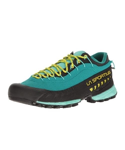
This is our favourite hiking shoes. We use them for canyoneering as well. Lots of traction. Vy’s version.
Dustin’s version for La Sportiva shoes
Make sure to use lots of sunscreens! We use eco-friendly, reef-safe sunscreen, Stream2Sea SPF 30.
Face sunscreen is also important. We love these tinted, organic All Good Organic Sunscreen Butter.
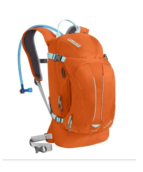
This trail gets very warm! Make sure to bring a lot of water. Vy loves the Camelback L.U.X.E.
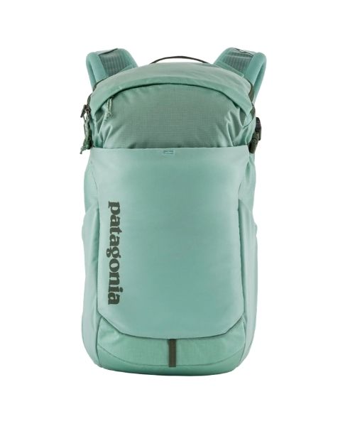
For shorter hikes, the Patagonia Women’s Nine Trails Pack 18L is perfect to hold water and your essentials.
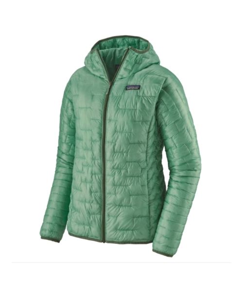
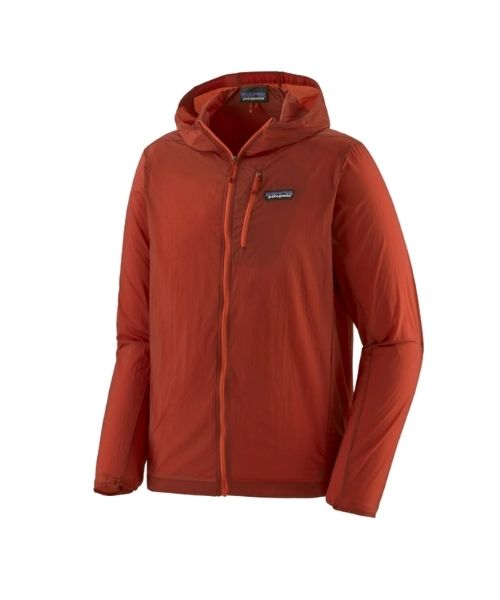
If you want something lighter, we love the packable Patagonia Women’s Houdini® Jacket and Patagonia Men’s Houdini® Jacket
other things to bring
- Hat & Sunglasses – the sun can be quite brutal here. You’ll need plenty of shades.
- Always good to bring some snacks with you. For healthy and easy snacks, check out some of our recipes.
camera gear
Related Posts
Save your pins:
