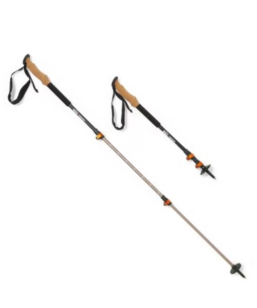
These hiking poles are sturdy, and great to help keep your balance on short or longer hikes
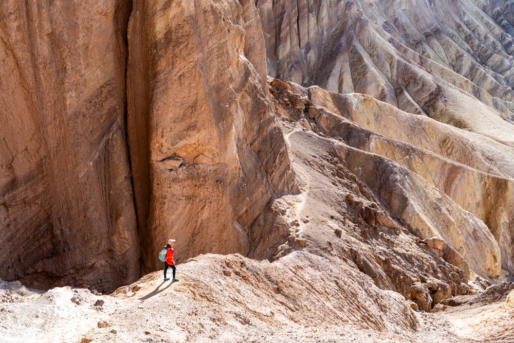
Golden Canyon Trail is a classic, must-do hike in Death Valley National Park. If you can only do 1 hike in this gorgeous park, this is it! This hike can be done in multiple routes and sections. However, the best way is to hike the full loop, from Golden Canyon to Red Cathedral, to Zabriskie Point, and loop back through the colorful Gower Gulch. It is a long hike, but trust us, you won’t be disappointed. This full loop of Golden Canyon hike encompasses most of the unique features of Death Valley National Park, from the unique landscapes of the badlands to colorful rock walls and slot canyons.

Golden Canyon Trailhead
36.420731, -116.846640
Badwater Rd, Furnace Creek, CA 92328
Zabriskie Point Trailhead
36.420842, -116.809816
C5CR+93 Furnace Creek, California
Paved parking lots at both trailheads, with large spaces for buses and RV’s
There is a fee to enter Death Valley National Park. For more information, check out the park’s website. You can also use your America the Beautiful pass!
Vault toilets are available at Zabriskie Point and Golden Canyon parking lots.
Leave your pet at home. They are not allowed on the trail!
8 – 9.6 miles Loop
1578ft
Moderate to Difficult depending on which route you’re taking.
The whole loop takes average 5-6 hours.
The best times to visit this trail are November through April when the weather is cooler. It gets very hot during the summer.
As we mentioned above, there are multiple ways to modify the Golden Canyon trail in Death Valley National Park so it’ll work with your fitness level. We’ll put the breakdown below. There are two trailheads that you can access this loop trail, Zabriskie Point and Golden Canyon trailhead. Depending on what sections you want to do, you’ll use one trailhead over the other. For the full loop, we prefer starting from Golden Canyon trailhead instead of Zabriskie Point.
Badlands Loop
Distance: 2.7 miles (4.3km) loop | Elevation Gain: 535ft | Moderate
Trailhead: Zabriskie Point
Golden Canyon to Red Cathedral
Distance: 3 miles (4.8 km) out and back trip | Elevation Gain: 577 ft (176m) | Moderate
Trailhead: Golden Canyon Trailhead
Gower Gulch Loop
Distance: 4.3 miles (6.9 km) loop | Elevation Gain: 850ft (259m) | Moderate
Trailhead: Golden Canyon Trailhead
You can add the spur trail to Red Cathedral for an additional mile (1.6km) round trip to the route.
Full Golden Canyon Loop Trail (Golden Canyon, Red Cathedral, Zabriskie Point and Gower Gulch)
Distance: 9.6 miles loop | Elevation Gain: 1500ft | Moderate
Trailhead: Golden Canyon Trailhead or Zabriskie Point
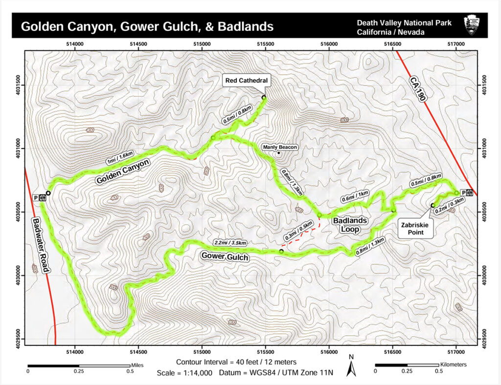
To do the full loop for the Golden Canyon Trail in Death Valley National Park, you can either start at Zabriskie Point or Golden Canyon Trailhead. Zabriskie Point is located on CA-190, about 3.5 miles east of Badwater Road. Golden Canyon Trailhead is located on Badwater Road, about 2 miles south of CA-190. We prefer to start at the Golden Canyon Trailhead instead of Zabriskie Point because we rather hike up instead of the slippery way down on some of the steep sections.
In this blog, we will cover the entire full loop of the Golden Canyon Trail in Death Valley National Park. This way, you can decide if you want to do the whole thing or just sections of this hike. We highly recommend hiking the whole thing though. That being said, we started our adventure from the Golden Canyon Trailhead. Since this is a loop, you can start in whichever direction. Going clockwise will go through the Golden Canyon section first before hiking up the steep section at Manly Beacon and then loop back through Gower Gulch. Going counter-clockwise will lead you through the Gower Gulch wash first. We usually start clockwise first, just personal preference. Make sure to wear good hiking shoes and bring lots of water.
We left the paved parking lot to follow along the shaded slot canyon. As many times as we’ve seen and hiked through slot canyons, we were still in awe of the jagged, curved walls of Golden Canyon. It felt like we were on a different planet. No wonder George Lucas chose this area as one of the Star Wars filming locations. If you’re a big Star Wars fan, you can get a free map of these film locations at the Visitor Center. Death Valley National Park also offers a ranger-led program that hikes through this section of Golden Canyon, where the Ranger will talk in-depth about what Star Wars scenes they film here.
This part of the trail is sandy with some gravel. Besides that, it is fairly straightforward. Just make sure to stay on the main wash. After about 1 mile, we came to an intersection for a detour to the Red Cathedral. There will be a big sign there pointing the way so you don’t have to worry about getting lost. It is about 1 mile there and back if you want to take that detour to the Red Cathedral. We highly recommend doing so.
At the intersection, we followed the wash to go straight to go toward the Red Cathedral. From this point, we could see the red-fluted walls of the Red Cathedral looming in the background. Even though it is only 0.5 miles there, this little detour is more rugged than the Golden Canyon Section. As we snaked through the slot canyon, the ground became a lot rockier the closer we got to the Red Cathedral. There will be some scrambling and squeezing through small openings as well. The canyon walls also got a lot closer. It’s not that bad, however, it can be a bit challenging for beginner hikers.
Once we reached the towering wall near the end, there were two options: following the wash to the left or a small dirt trail on the right that curved up the hill. Both of these will take you to some beautiful viewpoints. That being said, be careful on the way back down. These 2 trails are steep and can be slippery. The views on top of both of these viewpoints are spectacular. From up top, we could see the sandy hills, shaped by wind and water to create their interesting wrinkled appearance, a stark contrast against the flat salt basin of Badwater. After you’re done with the views, return to the first intersection the same way.
After getting back to the first intersection where we made our detour to the Red Cathedral, we followed the sign to go toward Zabriskie Point Trailhead. Once we turned onto the trail, we could see the Manly Beacon, a towering spire that rises above the Death Valley badlands. We followed the trail to go up the hill toward the Manly Beacon. The Manly Beacon section is the steepest part of the Golden Canyon Loop Trail. The trail leads up to the base of this giant monolith and then curves around its base to the other side. Don’t forget to look back as you gain elevation. The views behind are breathtaking. We took so many photos and it still didn’t seem like it was enough.
As the trail curved around the Manly Beacon, it got quite narrow, with steep drop-offs on the side. It’s not that bad but make sure to watch your steps and stay on the packed dirt trail. The trail soon reached an intersection where it dropped down into the wash. There is also a social trail on the right-hand side that leads up a hill. This social trail follows and leads to a really cool viewpoint. From this social trail, we could see the main Golden Canyon trail that ran along the base of the Manly Beacon. If you have time, we recommend checking this viewpoint out. From here, you could more of the Badwater Basin.
To continue with the Golden Canyon loop trail, we followed the main trail down the wash. There are signs with arrows pointing the way. After hiking through the wash for a short distance, the main trail led up the hill to another viewpoint and then dropped back down to another wash. Soon enough, we reached another directional signage. From here, continue straight on the wash to Gower Gulch will make this hike into a shorter loop. Since we wanted to go all the way to Zabriskie Point, we went left instead.
We hiked along the trail through the wash before it led up the hill. There are directional arrows to point out the way. This section is quite steep so it’s okay to take your time. We highly recommend taking your time because the views behind you as you climb up are gorgeous. From here, we could see the side of the Manly Beacon and the Red Cathedral section as well as the badlands. It was very impressive.
The trail continues to gain more elevation before dropping back down to the Gower Gulch. This section of Badlands Loop toward Zabriskie Point is about 0.6 miles. There is an informational signage where the trail reaches the wash of the Gower Gulch. From here, going left will take you up to Zabriskie Point, which is about 0.7 miles round trip. Going right to follow the wash will take you along Gower Gulch back to the Golden Canyon Trailhead.
Since we wanted to go to Zabriskie Point first, we went left and followed the arrow. The trail weaved through the hills as it climbed higher. About 0.4 miles, we reached the top of the hill where it opened up into a wide sandy wash. From here, we could see the parking lot of Zabriskie Point off in the distance to the right. It was a short walk to the parking lot.
From the parking lot, it is 0.2 miles up the paved road to the viewpoint of Zabriskie Point. Since we’re here, we might as well hike up. This is a popular viewpoint into the Badlands since visitors could drive here. The view from up here is quite impressive as well. It is similar to what we’ve seen along the hike so far, but it was still nice to see. The views are just different enough that we couldn’t help to take even more photos. After we were done with photos, we headed back down the paved trail, crossed along the wash, and followed the same way we came from to go back to the intersection where Badlands Loop meets up with Gower Gulch.
Once the trail dropped back down to the big wash of Gower Gulch, we followed the wash to go away from Zabriskie Point, and toward the direction of the Golden Canyon trailhead. The Gower Gulch Section on the Golden Canyon Loop Trail is quite long, about 3 miles. It seems a lot further because we were hiking on a very sandy, gravelly surface. The first half of this wash was pretty but almost uninteresting unless you’re into geology. There are many cool geology features and rocks that we found along the way.
Eventually, Gower Gulch became more interesting. The canyon walls become a lot higher and more colorful. In some sections, the rock walls remind us of rainbow sherbet. They have all the colors from green, pink, orange and more. If you’re here near sunset, the light is softer so the colors “pop” more. Noon light would wash everything out. Along the way, you could see mine openings on the right-hand side. Unfortunately, you can’t go inside but it’s ok to get to the entrance.
After leaving the colorful rock areas, we eventually reached the more technical sections of the Golden Canyon Loop Trail. There are a few areas where you have to scramble down some obstacles. It’s not that bad, but beginner hikers might need so assistance for this. If you’re scared, you can sit down on your butt and scoot your way down.
Once we got passed these technical sections, the wash opened up to a wide opening and the trail looked like it was at a dead end. There is a very tall dry fall at the end of this wash. Here, you’ll want to go right. There is a small, used dirt trail on the right curved around and led down toward the wash at the bottom. Be careful when crossing this section, it is narrow and can be slippery when wet.
Once we got back down to even ground, we could see the main Badwater Road running parallel to the Golden Canyon Loop Trail. This last section of the trail is our least favorite. It is about 0.8 miles long and kind of boring. You’re pretty much just walking along a flat dirt road that seems to go on forever.
The complete loop of the Golden Canyon Trail is our favorite trail in Death Valley National Park. It’s just so pretty with many unique features. We highly recommend hiking this! If you prefer shorter hikes, check out Natural Bridge. If you love slot canyons, check out Ladder Canyon and Rope Canyon near Palm Springs. We also LOVE Buckskin Gulch in Utah.
These are the gear that we personally use and find helpful for this particular adventure. Don’t forget to check out our Recommended Gear section as well.

These hiking poles are sturdy, and great to help keep your balance on short or longer hikes
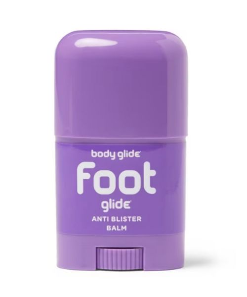
If you tend to have foot blisters on hikes, get this! We use this all the time.
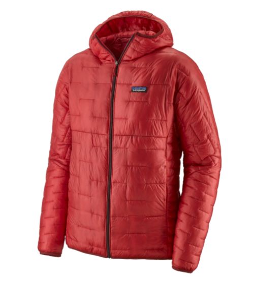
Our favorite hiking/travel jacket. It's warm and packable, perfect to bring on a hike or a road trip.
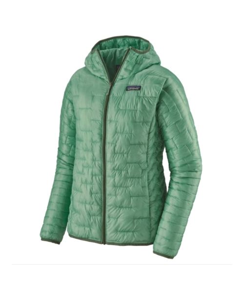
Our favorite hiking/travel jacket. It's warm and packable, perfect to bring on a hike or a road trip.
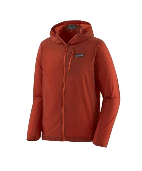
This jacket is packable into a super small and light little ball. Perfect for when you just need a little…
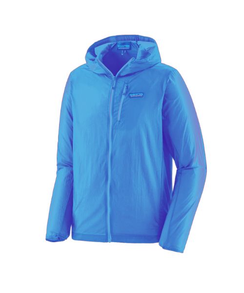
This jacket is packable into a super small and light little ball. Perfect for when you just need a little…
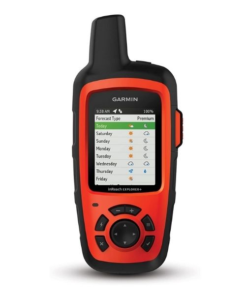
It's always good to bring a GPS tracker with you. We use the Garmin inReach.
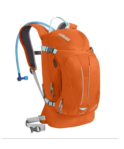
This is Vy's favorite hiking bag! It has tons of room for snacks and water!


Our favorite biodegradable, eco-friendly, reef-safe sunscreen!

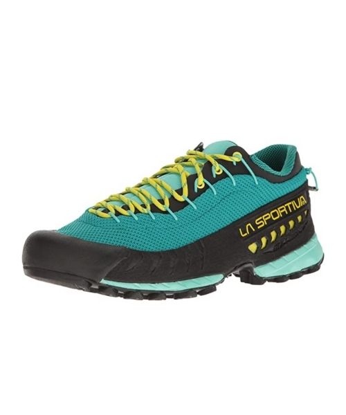

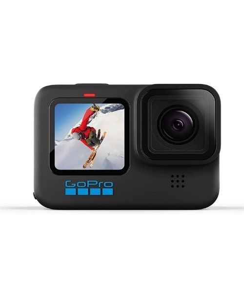
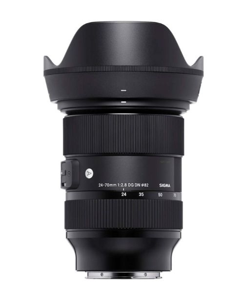
This is our go-to camera for all of our adventures. It comes with us everywhere!
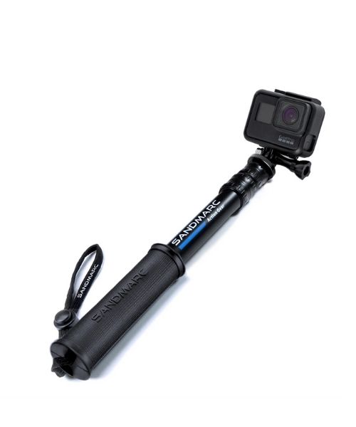
Compact GoPro pole that extends to 25", perfect to bring on your adventure.
Nice to meet you!
Hi! We are Dustin & Vy, the proud creators of Live That Adventure. We created this website because we wanted to inspire others to live their lives to the fullest. On here, you’ll find everything from hiking, canyoneering, kayaking, and snorkeling to adventure and travel tips, gear reviews, and bucket list items such as bungee jumping or wing walking. We’ll show you the ropes so you can do them too!
Subscribe
Get our best adventure tips, guides and more send to you!
Subscribe
Get our best adventure tips, guides, and more send to you!