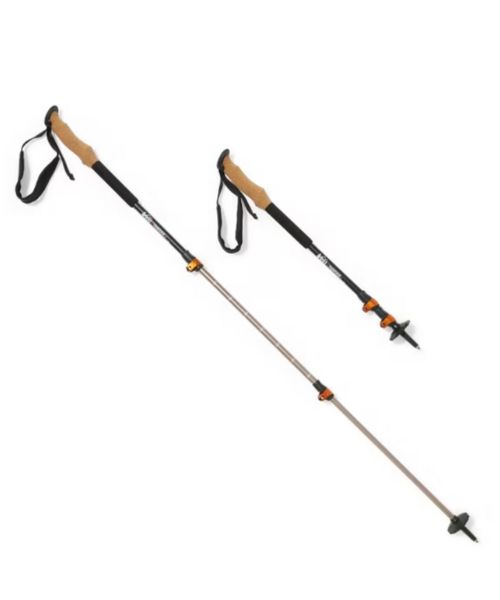
These hiking poles are sturdy, and great to help keep your balance on short or longer hikes
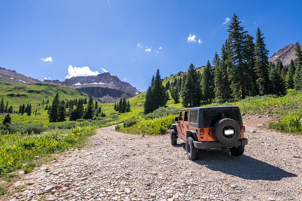
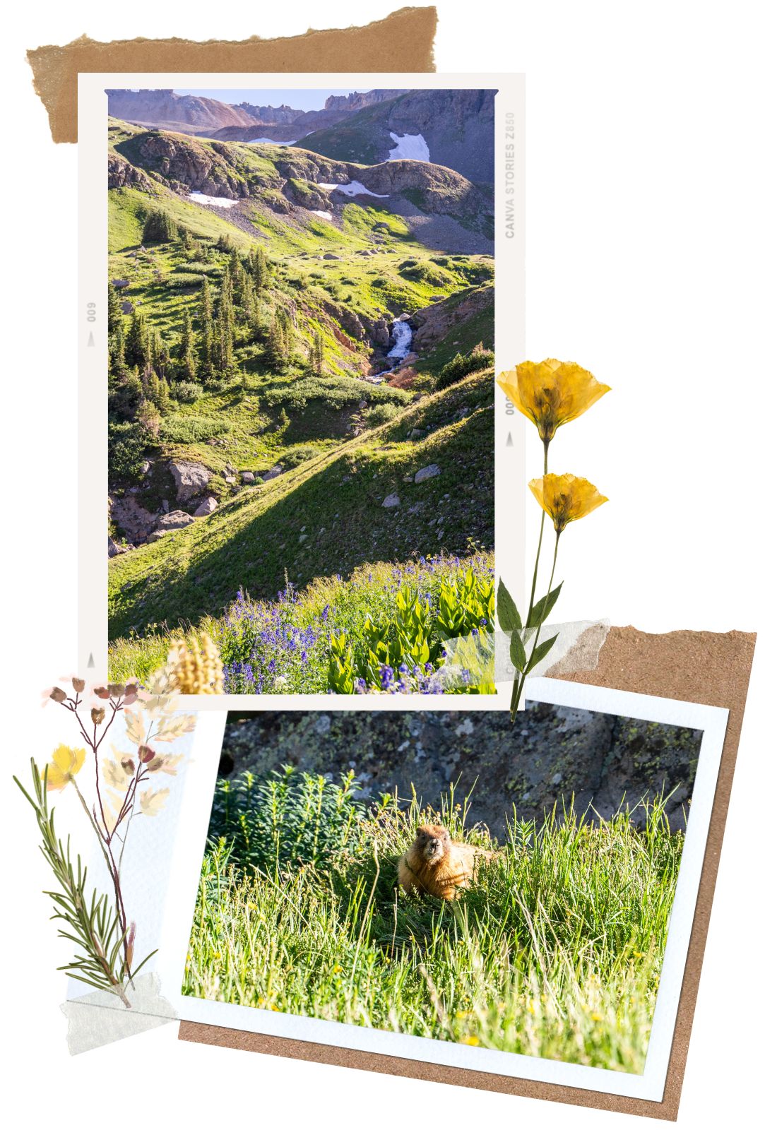
Nestled beneath some of San Juan’s most stunning peaks, such as Teakettle Mountain, Stony Mountain, and the most well-known Mount Sneffels, Yankee Boy Basin is a classic example of the Colorado mountain scenery. The drive to Yankee Boy Basin, located right outside the quaint mountain town of Ouray, Colorado, is a fun off-road trail filled with stunning alpine scenery, colorful wildflowers, flowing waterfalls, an old mine, and many critter sightings. This offroad trail is also home to many beautiful and challenging hikes, some of which are part of the 14ers in Colorado.

The scenic off-roading trail Yankee Boy Basin is located just outside the picturesque mountain town of Ouray, Colorado. To get here, follow the CO-550 or the Million Dollar Highway south of Ouray. Then, turn onto Camp Bird Road. Camp Bird Road is the same road you will take for Box Canyon Falls and the Ouray Via Ferrata. We highly recommend checking out Box Canyon Falls before starting your off-roading adventure. It is a quick stop, and the falls are very unique. The Camp Bird Road eventually turns into a dirt road. Along the way, signages are guiding you onto Yankee Boy Basin Trail.
The best time to visit Yankee Boy Basin is between late June and September. The road usually opens around June to October, weather permitting. The Yankee Boy Basin trail is not maintained and is very dangerous to drive during winter when snow is in the area. Throughout the winter, the gate closes shortly after turning onto Camp Bird Road from the CO-550. Make sure to check local conditions (www.14ers.com is usually up to date) before going.
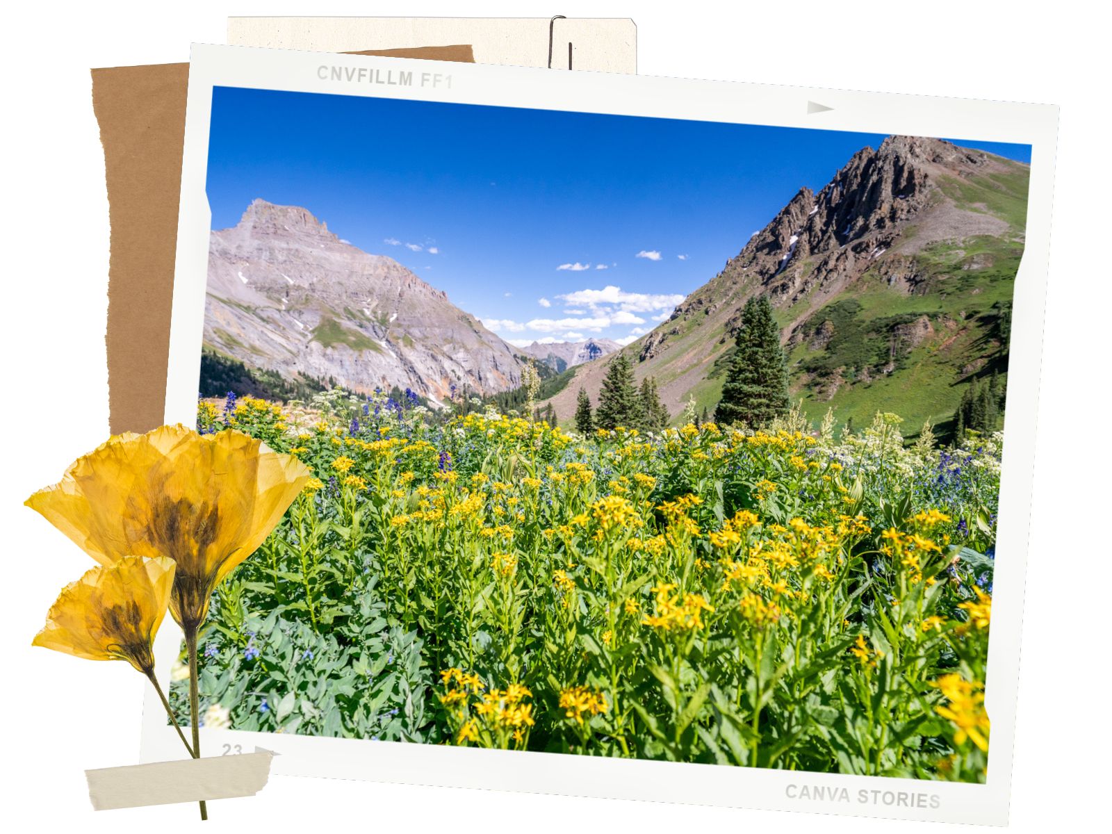
Yankee Boy Basin Trail is also one of the best places for wildflowers in Colorado. Wildflower season here is usually from mid-July through early August. With the added colors, the scenery on Yankee Boy Basin is even more spectacular.
By the way, Yankee Boy Basin gets very crowded during the summer months, especially on weekends and holidays. We highly recommend making your drive early.
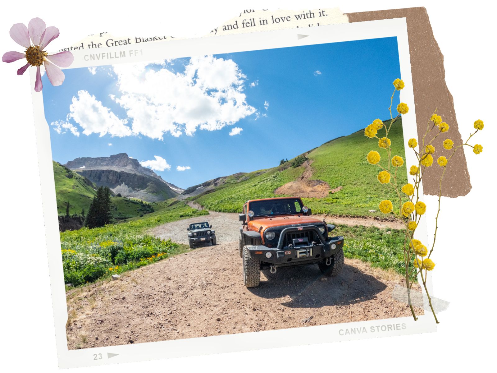
Whether you need a 4WD vehicle depends on how far you want to go. To drive the whole way, you’ll need a 4WD vehicle with a short wheelbase and solid tires. We have a Jeep Wrangler and made it to the last 0.5 miles without problems. Along the way, we had to throw it to 4-low and carefully navigate around some of the steep sections.
For an offroad trail in Ouray, the beginning Yankee Boy Basin road is quite mellow. It is a graded dirt road. Eventually, it turns into a bumpy ride. To get to the lower Mount Sneffels parking area, you could take an SUV. However, once you pass the pit toilets area, you will need a more capable offroading vehicle such as a Jeep Wrangler or 4Runner. And the road only gets more technical as it goes along. As we mentioned above, a short wheelbase with solid tires is highly recommended. The longer wheelbase makes it difficult to stay balanced on some steeper sections.
The last 0.5 miles are the most technical section. Since we were by ourselves and had to drive our Jeep back to California, we decided to turn back. But if you have the right vehicle and know what you’re doing, you should be fine.
As an offroad trail, Yankee Boy Basin Road is rated 2.5-difficulty rating, or moderate. You gain almost 5,000ft of elevation along the drive, reaching over 12,500ft. The difficulty increases gradually as you drive along. There are some steep drop-offs and overhanging rocks. However, compared to other offroading trails in the Ouray area, Yankee Boy Basin Road is considered tame and wide.
Yankee Boy Basin Road is about an 18.6-mile round trip. It takes at least 2 hours to complete, if not more. We spent over 4 hours here because we couldn’t get enough of all the beautiful scenery and wildflowers. If you’re planning on hiking some of the beautiful trails here, make sure to plan for extra time.
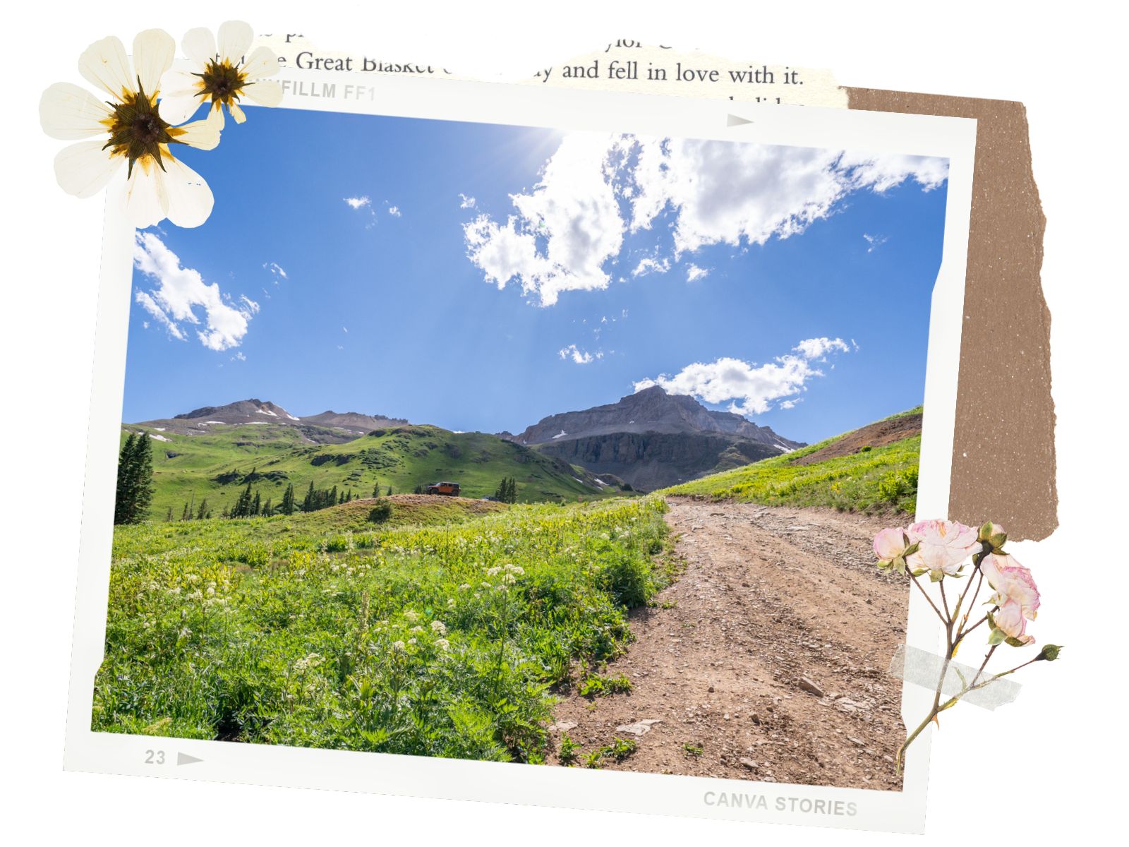
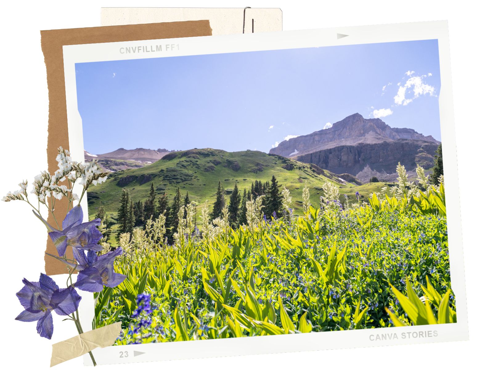
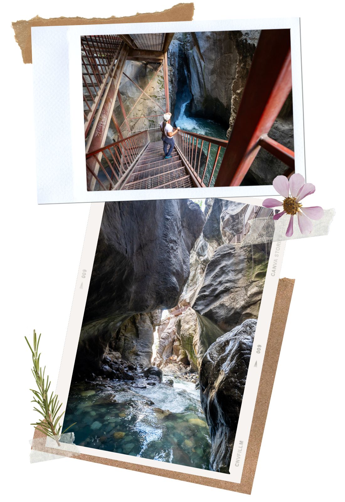
Even though the whole drive along the Yankee Boy Basin Road is just breathtaking, there are a few notable viewpoints and stops where we recommend taking your time. Our list starts from when you turn off onto Camp Bird Road.
This is a short detour as soon as you turn onto Camp Bird Road. Box Canyon Falls is a unique waterfall tucked in between an impressive canyon. It is an interesting quick stop if you have time. There is a small fee to visit the waterfalls.
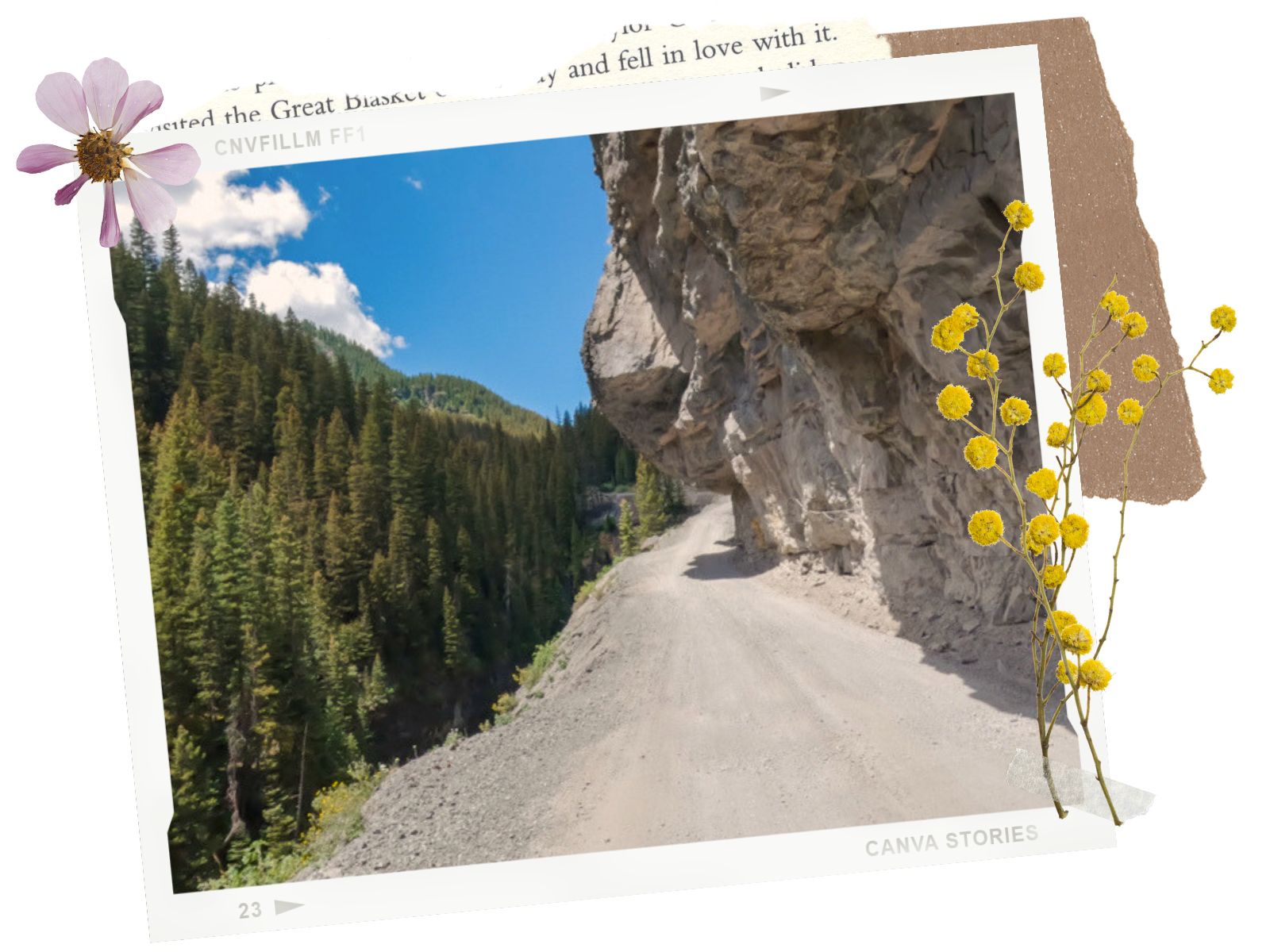
About 5.2 miles from CO-550 on Yankee Boy Basin Road, you’ll come across the overhanging rock section. This section of the road is very narrow, with steep drop-offs. The road also runs underneath overhanging rocks. It makes for an interesting drive. If you’re scared of heights, you might not like this section. The good thing is that it is short.
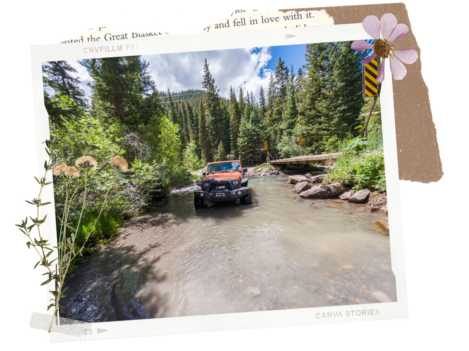
If you’re up for more technical off-road, the Imogene Pass trail is another awesome one in Ouray. Although, this might take all day. However, you can just check out the area for a short distance or be like us and see if your vehicle is amphibious by driving through the rushing creek at the fork in the road.
Not too far up the road from the fork for Imogene Pass, we came across Atlas Mill. It is an abandoned mine, located up a steep slope. It was interesting to see the relics of the past. We couldn’t find much information about this mine. It reminds us of the Big Horn Mine in California. There is a small parking area on the side of Yankee Boy Basin Road where you can park your car to take a better look at the mine. This area is fragile, so please respect the place. When we were there, this spot had tons of wildflowers. We ended up taking so many photos there.
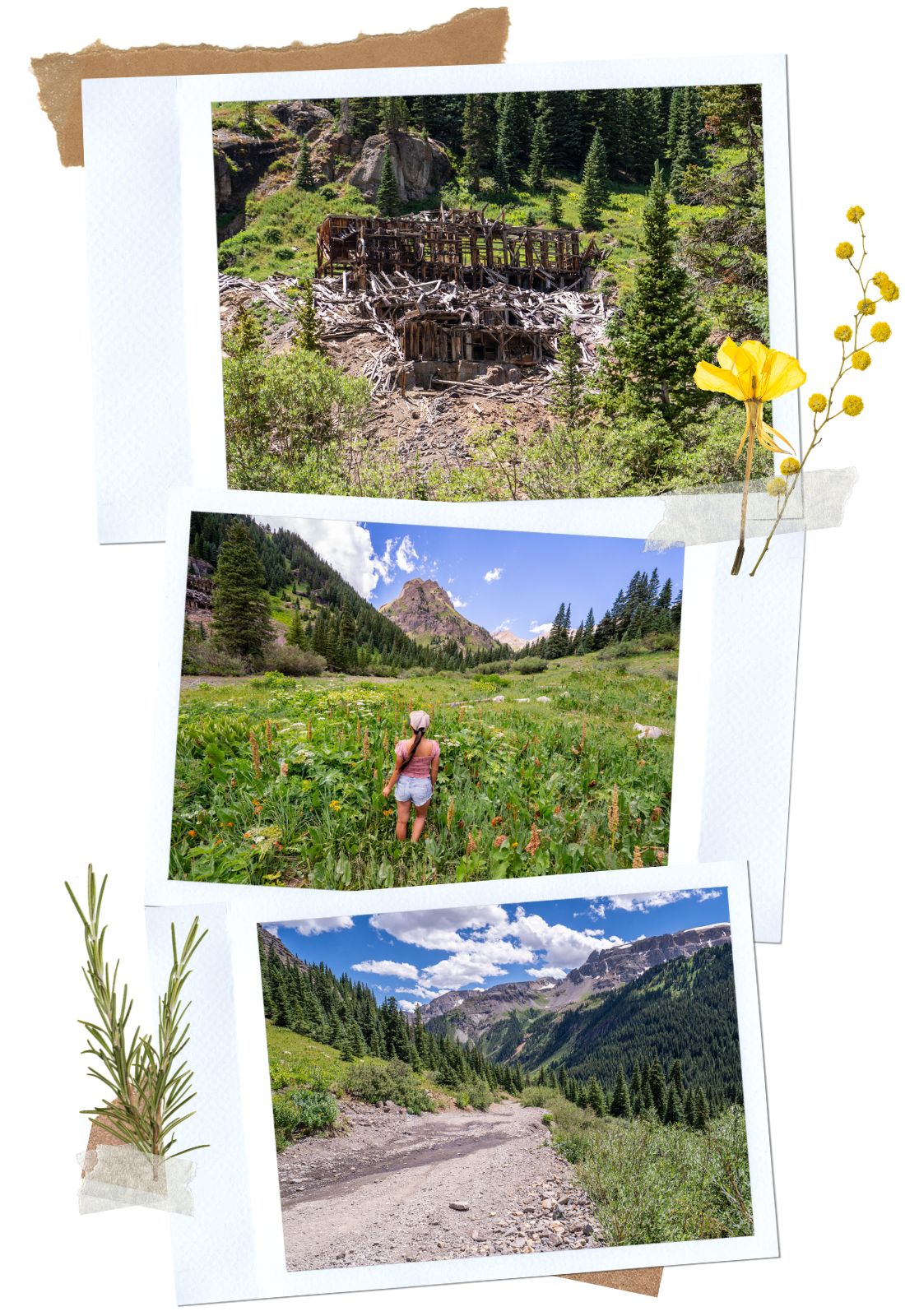
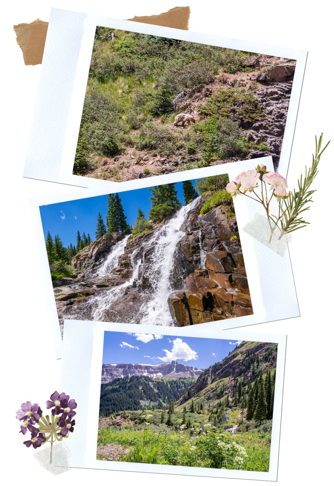
After Atlas Mine, we spotted rushing waterfalls on the side of the road. This waterfall is Twin Falls. When we stopped to take a look, we saw a black bear taking her time walking near the waterfalls. Luckily, the bear was far enough that we were safe. We knew there were bears in Yankee Boy Basin, but we didn’t think we could see one. It was such a cool sighting. We also realized that we could get closer to the waterfalls by driving up the road just a bit more.
There is a decent pull-out on the side of the road and multiple worn trails that lead to the waterfalls and Sneffels Creek. Not only did you get to see the impressive waterfalls, but we also saw tons of colorful wildflowers, framed by the towering peaks in the background. It was breathtaking.
Yankee Boy Basin is home to the trailhead of fthe amous 14ers Mt. Sneffels. This hike is a difficult, semi-technical class 3 climb. The trail also gains 2,749ft to get to an elevation of 14,159′, so you will need a lot of stamina and a helmet. Most people start at the lower trailhead, which is about 5.57 miles and 2,749ft gain. The trail from the upper trailhead is 2.6 miles round trip with a 1,591ft gain in elevation.
After leaving the trailhead for Mt. Sneffels, the difficulty for the Yankee Boy Basin Road increases quite a bit. However, the scenery also becomes more spectacular. There were wildflowers everywhere and many spots to stop to take photos along the way.
When you get closer to the trailhead for Wrights Lake, there is a sign warning that you need to have 4WDS, high clearance, and a short wheelbase for the remainder of the road. Make sure you do because the technical sections are ahead!
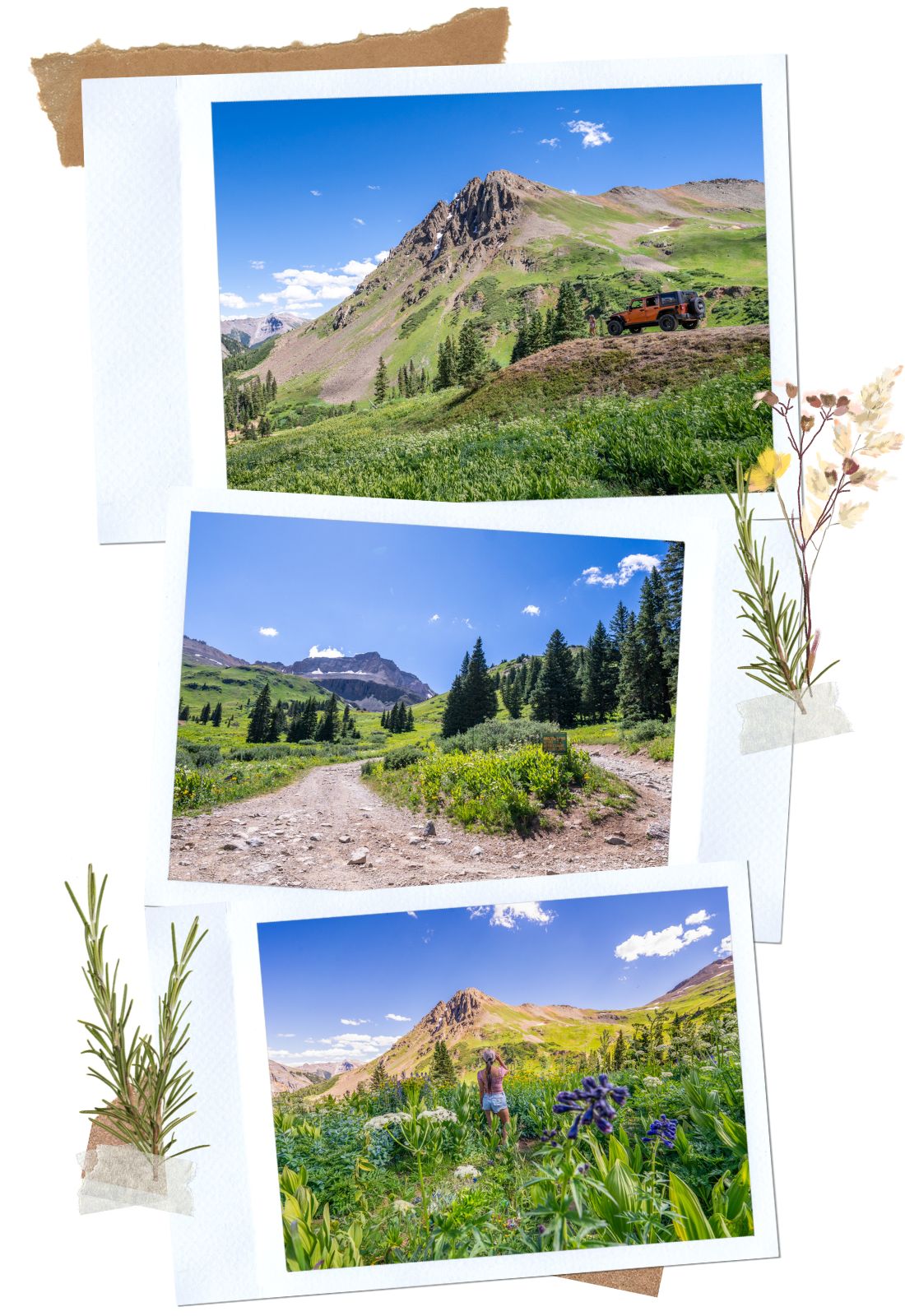
Wright Lake trail is a moderate 2.7-mile round trip. If you’re motivated, you can stretch out your hike to Blue Lakes Pass. The hike to Blue Lake is one of the top mountain lake hikes in Colorado. It is a 5.2-mile round trip with a 1,695 ft gain. It is considered moderate. However, if you’re a flatlander like us, you’ll need to take your time to adapt to the altitude. We were breathing heavily just walking back and forth to our car.
This is also a good spot to look out for marmots in Yankee Boy Basin. We saw a family of them, hanging out on the rocks on our way back. They were so cute!
Yankee Boy Basin Road becomes significantly more technical right after Wrights Lake Spur & Trailhead. You’ll need to put it into 4-Low at times and pay attention to navigation. I had to get out a few times to guide Dustin around. The first technical section is at the turn where the Wrights Lake trailhead is. As long as you pick the right line, it is not that bad. With all of the hairpin turns here, we can see why a short wheelbase is highly recommended.
As we gain elevation, the view becomes even more beautiful. However, we didn’t have time to pay too much attention to the views because we had to keep an eye on the road. There are drop-offs on one side as we navigate around ruts, boulders, and steep sections.
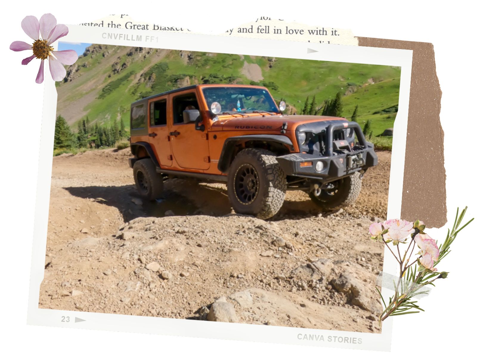
Around 0.4 miles before reaching the end of the Yankee Boy Basin Road, we decided to turn back. The rest of that 0.4 miles from what we could see is full of rocky staircases. Since we were alone and had to keep our Jeep in good condition to make it back to California, we didn’t want to push our luck. Many people stopped at the trailhead for Wrights Lake Spur and hike up, or stopped where we turned around. There is a wide area for parking if that is the case for you.
If you love scenic roads, we love the Valley of Fire State Park and Route 137 in Big Island. For offroad trails, we like the Pumpkin Patch in Anza Borego, Schnebly Road in Munds Park, and Crowley Lake near Mammoth Lakes.
Happy Adventuring. Don’t forget to check out the related posts below for more inspiration on your upcoming adventures. While at it, follow us on Instagram and subscribe to our YouTube channel! We’ll love you forever!
These are the gear that we personally use and find helpful for this particular adventure. Don’t forget to check out our Recommended Gear section as well.

These hiking poles are sturdy, and great to help keep your balance on short or longer hikes
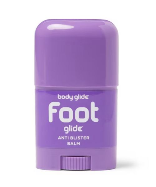
If you tend to have foot blisters on hikes, get this! We use this all the time.
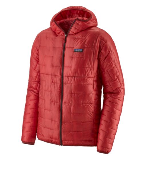
Our favorite hiking/travel jacket. It's warm and packable, perfect to bring on a hike or a road trip.
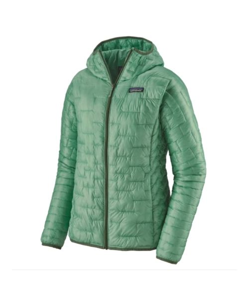
Our favorite hiking/travel jacket. It's warm and packable, perfect to bring on a hike or a road trip.
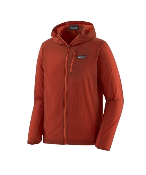
This jacket is packable into a super small and light little ball. Perfect for when you just need a little…
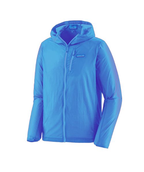
This jacket is packable into a super small and light little ball. Perfect for when you just need a little…
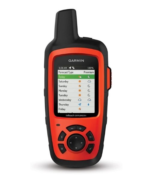
It's always good to bring a GPS tracker with you. We use the Garmin inReach.
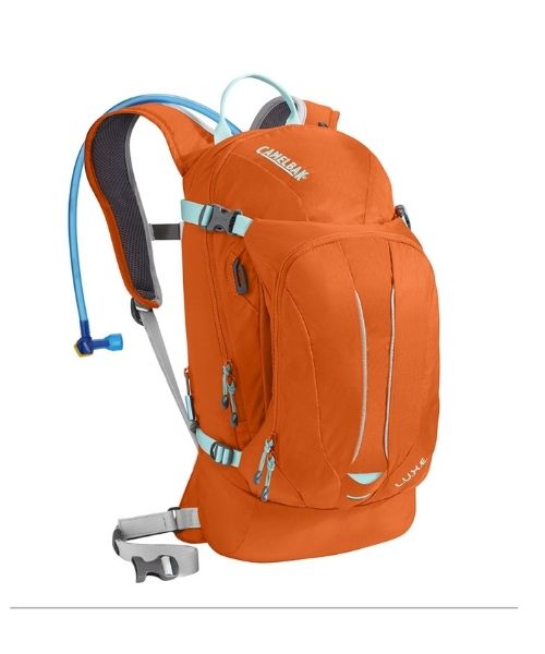
This is Vy's favorite hiking bag! It has tons of room for snacks and water!


Our favorite biodegradable, eco-friendly, reef-safe sunscreen!
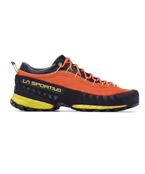
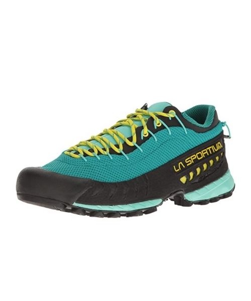
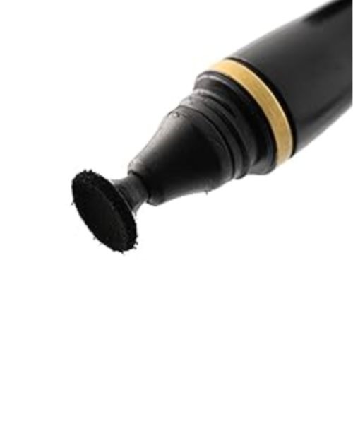

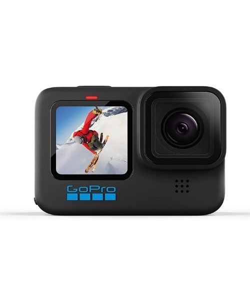
This is our go-to camera for all of our adventures. It comes with us everywhere!
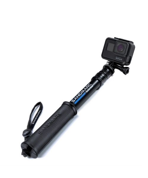
Compact GoPro pole that extends to 25", perfect to bring on your adventure.

Nice to meet you!
Hi! We are Dustin & Vy, the proud creators of Live That Adventure. We created this website because we wanted to inspire others to live their lives to the fullest. On here, you’ll find everything from hiking, canyoneering, kayaking, and snorkeling to adventure and travel tips, gear reviews, and bucket list items such as bungee jumping or wing walking. We’ll show you the ropes so you can do them too!
Subscribe
Get our best adventure tips, guides and more send to you!
Subscribe
Get our best adventure tips, guides, and more send to you!