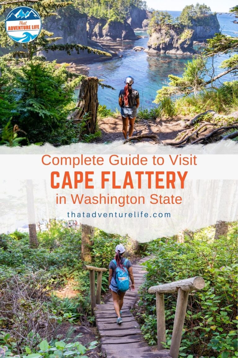
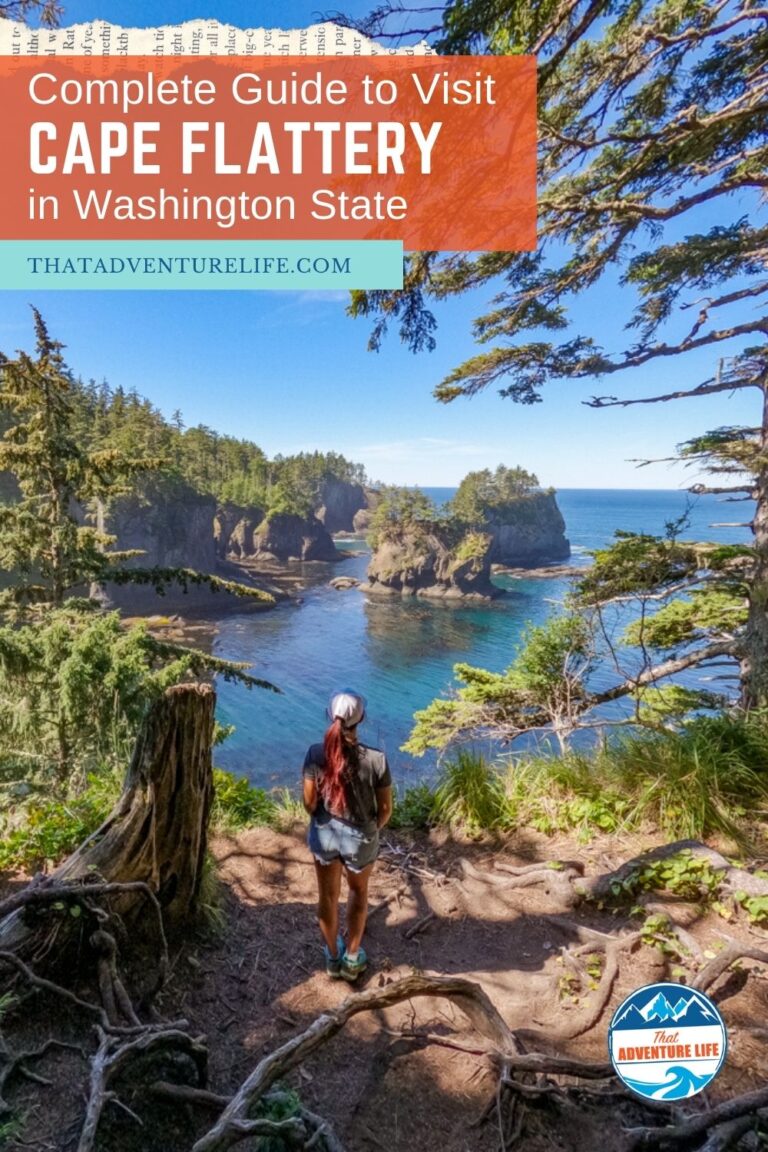
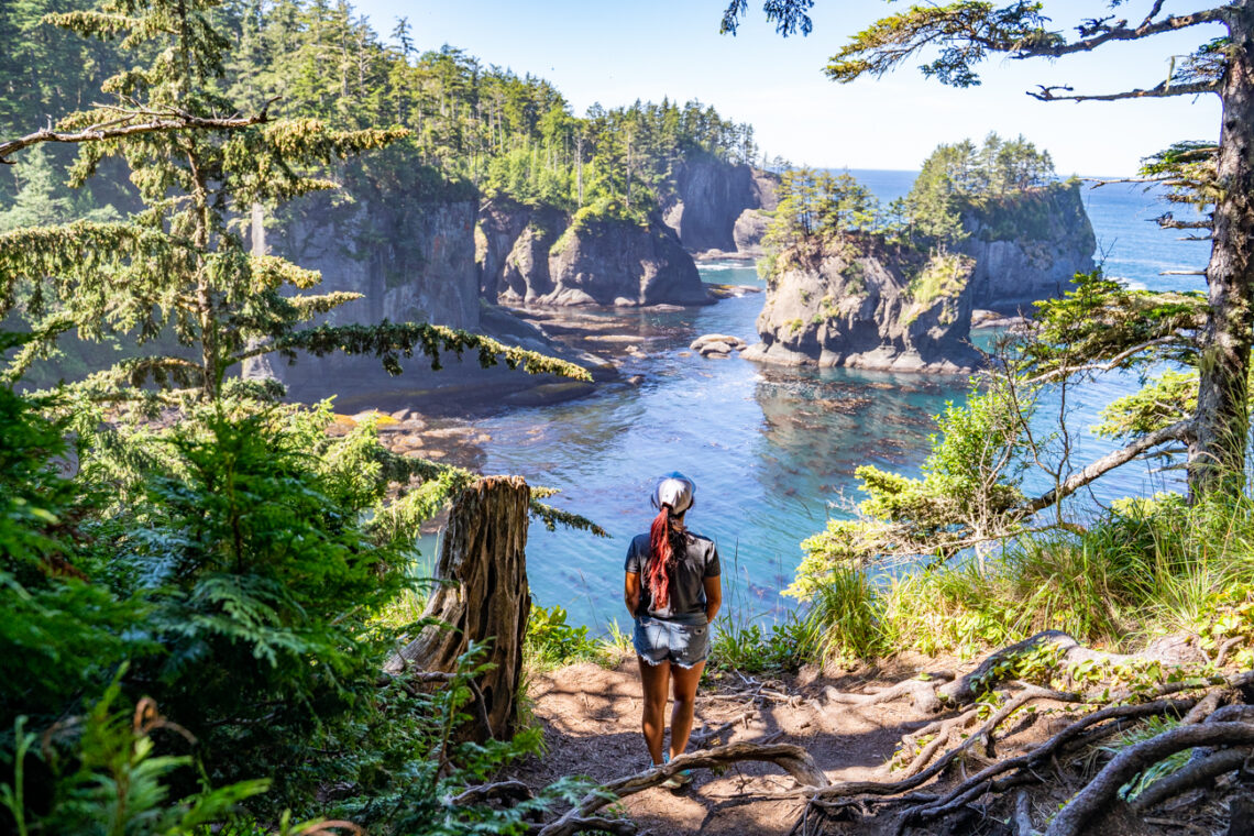
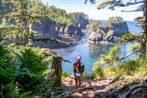
Located at the furthest northwest tip of the United States, Cape Flattery is absolutely stunning with dramatic views of the rugged rocks and clear teal waters of the Pacific Ocean. On a good day, you could see gray whales off the Cape and sea lions on Snake Rock just east of Tatoosh Island. To get to the viewpoint for Cape Flattery, you’ll have to hike through a lovely trail. This trail is short and easy, perfect for families with children and hikers of all abilities. Since Cape Flattery is managed by the Makah Tribe in Neah Bay, Washington, there is a permit fee to visit. This permit is good for a year and you can also use it for other spots in the area such as Shi Shi Beach.
Stats
Where
Cape Flattery Trailhead
Cape Loop Rd, Neah Bay, WA 98357
48.384904, -124.715774
Parking
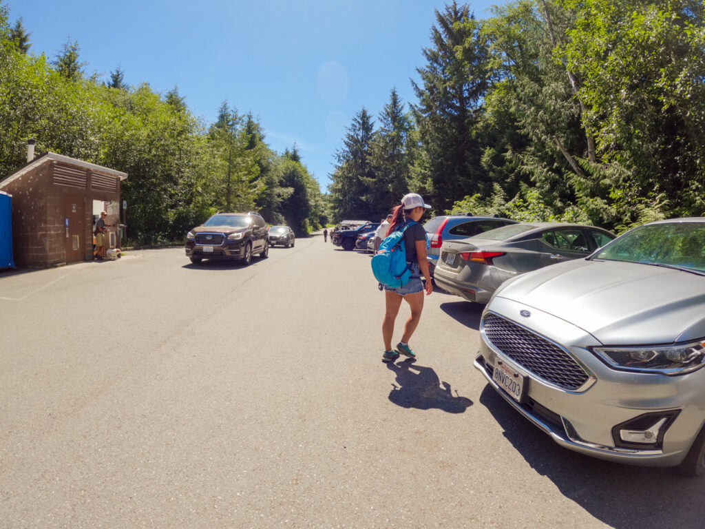
A small paved lot that holds about 20 cars.
Restroom
There is restroom at the trailhead
Fee
You’ll need to have a recreation permit to hike this hike. The permit at the time of this article is $20 per car for the calendar year.
Distance
1.2 mi R.T.
Elevation Gain
229 ft
Level
Easy
Time:
30 – 45 minutes
Pet-friendly
You can bring your pet, but they have to be on a leash.
Ideal Time
You can do this hike year round. However, it can be busy on the weekends. If you want peace and quiet, go earlier in the day.
Weather
Video
About the Permit
Before you start your adventure, make sure to stop at a physical location to purchase a recreation permit for this hike. There is no online option for purchasing at the time of this article. Currently, the permit is $20 per vehicle and is valid for the calendar year. We listed the locations where you can purchase your permit below. If you’re coming from Port Angeles, Makah Mini Mart is convenient and on the way. This was where we got our permit
- Makah Marina – Open until 5:00 p.m.
- The Museum at the Makah Culture and Research Center – Open until 5:00 p.m.
- Pat’s Place
- Harmony Seafoods
- Makah Mini Mart – Open until 9:00 p.m.
- Makah Tribal Center, Financial Services – Open until 5:00 p.m.
- Hobuck Beach Resort
Getting To Cape Flattery Trailhead
Cape Flattery is about 2 hours drive from Port Angeles. To get here from Port Angeles, you’ll want to head West on US-101 for about 3.5 miles. Then, turn right onto WA-112 W for about 65 miles. At the end of WA-112 W, follow Holden Creek Ave to turn left onto Fort St. Then, turn right on Third Ave. then a quick left onto Cape Flattery Road. Follow this road for about 7.6 miles until you reach a small parking lot. This is where Cape Flattery Trailhead is located.
The Adventure
At the Trailhead
After 2 hours drive from Port Angeles, we were ready to get out and stretch our legs. The trailhead for Cape Flattery is located at the end of the small parking lot. There are a couple of wooden signs in front of it so you won’t get lost.
From the trailhead, we headed down a wide, gravel trail. It led into a beautiful, lush forest. As the trail descended slowly, it also narrowed down to wooden boardwalk sections. These boardwalks help keep us out of the mud. However, they can be quite slippery, especially on rainy days so make sure to be careful. The trail alternates between the boardwalk sections and the dirt path full of tree roots. Please make sure you stay on the trail. This will help preserve this area for future visits.
First and Second Viewpoints
As we were approaching the point, we saw three routes to different viewpoints so that hikers could see the views of this beautiful area from all sides. The first branch-off is to the left, to a viewing platform. From this platform, we could see the sheer south side of Cape Flattery Point. The trees frame the clear teal water and the rocks perfectly. We visited on a calm day so the water was still and looked very peaceful. If you’re visiting on the more turbulent day, you could see the powerful waves crashing over the rocks and the shorelines. This first viewpoint is our favorite one here.
The second viewpoint is a few hundred feet further down the main trail. It has two levels where we could see the expansive view of the north side. From this viewpoint, we could see the interesting sea caves below. It looks like a fun place if we could bring our kayaks here. We couldn’t get over how blue the water was. It was breathtaking.
The Last Viewpoint
The third viewpoint is a bit further down from the second one where you could see Tatoosh Island straight ahead. If you look close enough, you could see a lonely lighthouse, sitting quietly on the island. On a good day, you could see gray whales, sea birds, and sea lions here. Once you’re done enjoying the views, you can return to the way you came from.
If you’re spending some time exploring Olympic National Park and Olympic Peninsula, don’t forget to check out some of their beautiful yet easy trails such as Sol Duc Falls, Madison Falls, Ancient Groves, Marymere Falls, and Devil’s Punchbowl.
These are the gear that we personally use and find them helpful for this particular adventure. Don’t forget to check out our Recommended Gear section as well.
adventure gear
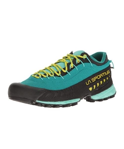
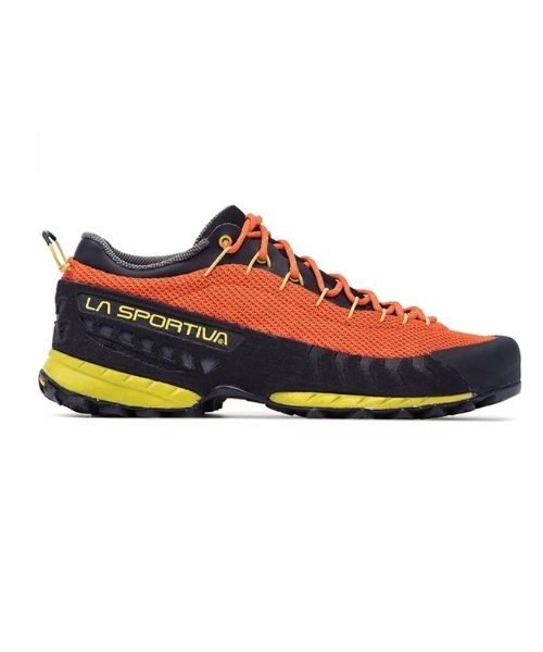
This is our favourite hiking shoes. We use them for canyoneering as well. Lots of traction. Vy’s version.
Dustin’s version for La Sportiva shoes
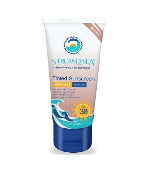
Make sure to use lots of sunscreens! We use eco-friendly, reef-safe sunscreen, Stream2Sea SPF 30.
Face sunscreen is also important. We love these tinted, organic All Good Organic Sunscreen Butter.
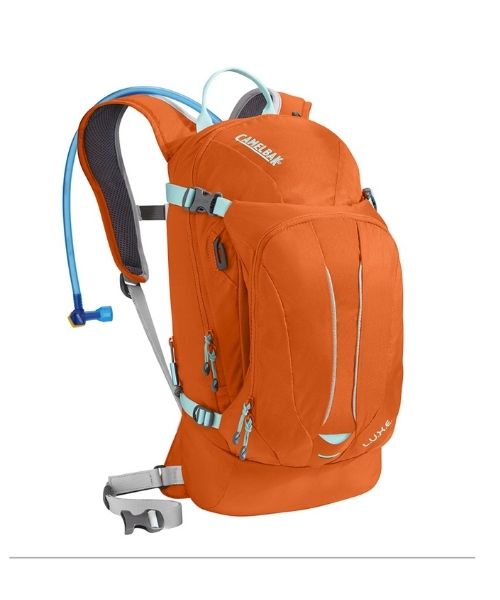
You should always bring plenty of water. Vy loves the Camelback L.U.X.E.
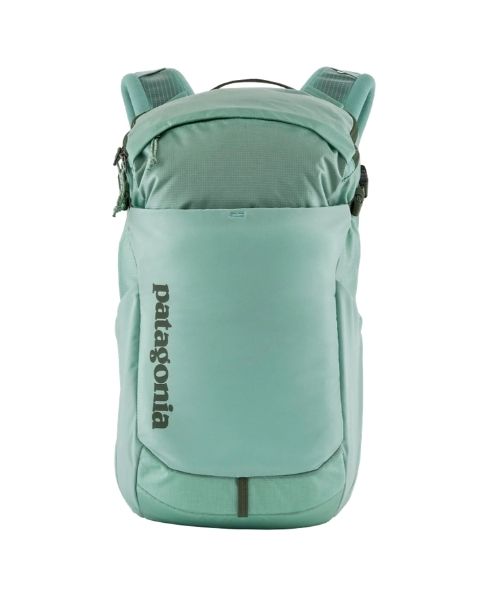
For shorter hikes, the Patagonia Women’s Nine Trails Pack 18L is perfect to hold water and your essentials.
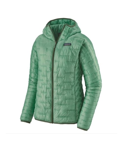
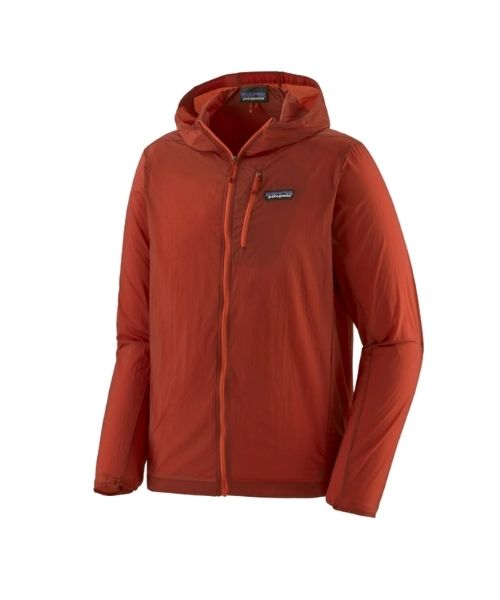
If you want something lighter, we love the packable Patagonia Women’s Houdini® Jacket and Patagonia Men’s Houdini® Jacket
other things to bring
Always good to bring some snacks with you. For healthy and easy snacks, check out some of our recipes.
camera gear
Related Posts
Save your pins:
