
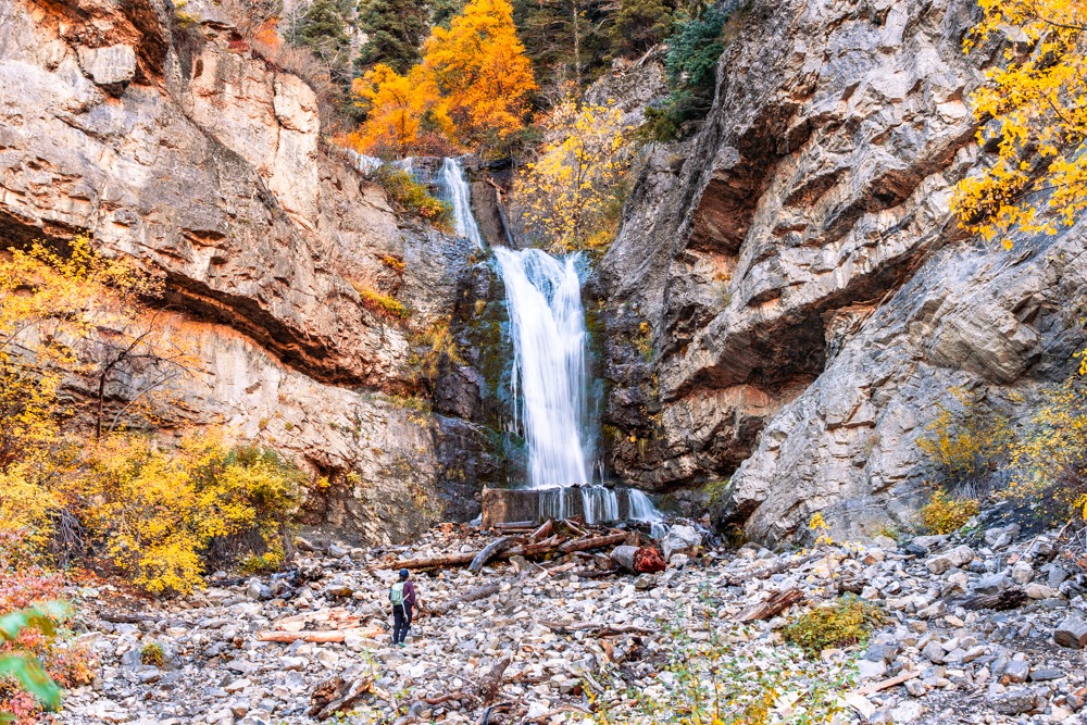


When we visited Provo, UT, Bridal Veil Falls wasn’t on our to-do list. However, with the continuous rain, we couldn’t do some of the hikes we wanted to. So, we opted for a shorter, easier hike, A.K.A Bridal Veil Falls. Little did we know, Bridal Veil Falls exceeded our expectations. This trail is GORGEOUS in the fall. You can also adjust the hike’s difficulty. If you want a short stroll, you can walk along the paved trail to the base of Bridal Veil Falls. However, if you want something more challenging, you can go off the paved trail to Lower Bridal Veil Falls and Upper Falls. Both of these detours are short but more challenging. The detour to Upper Bridal Veil Falls is a lot more difficult than the one to Lower Falls. We recommend doing both!
Bridal Veil Falls Trailhead
1014 Provo River Pkwy, Provo, UT 84604
40.337879, -111.609092
Bottom of Bridal Veil Falls
40.340270, -111.603002
Trailhead to Lower Bridal Veil Falls
40.341049, -111.602121
Trailhead to Upper Bridal Veil Falls
40.346193, -111.593267
There is a decent-sized paved lot at the Lower Parking for Bridal Veil Falls Park. If that lot is full, you can also drive further up Provo River Scenic Drive to Bridal Veil Falls View Area for more parking.
FREE!
There are vault toilets along the Provo River Scenic Drive: at Bridal Veil Falls Viewing Area and at Upper Falls Picnic Area.
Pets are allowed on the paved trail, but they need to be on a leash.
3 miles R.T. (to Upper Falls and Bridal Veil Falls)
479 ft
Easy to Moderate. It is moderate if you want to go to Upper Falls.
Takes an average of 1.5 to 2 hours.
You can do the paved Bridal Veil Falls anytime; however, it is most beautiful in the autumn. As for Upper Falls, Spring to Falls would be best. You don’t want to attempt that in icy, snowy conditions. The trail also gets muddy and slippery if it rains.
The trailhead for Bridal Veil Falls is located in Bridal Veil Falls Park, on East Provo Canyon Road, Utah. We started near the Bridal Veil Picnic Area, A.K.A Lower Parking for Bridal Veil Falls Park. There is a decent-sized paved lot. If that lot is full, you can also drive further up Provo River Scenic Drive for more parking. This second parking lot is called the Bridal Veil Falls View Area. This is a great spot if you want a short hike or if you just want to enjoy the falls without any hiking.
We arrived at the trailhead in the morning. It was drizzling and misty, but the clouds soon gave way to a clear sky. We were visiting Bridal Veil Falls in the fall. So, we were treated to beautiful fall foliage. Almost the entire trail was lined with glowing golden leaves. It was breathtaking.
Bridal Veil Falls trail is paved, suited for all skill levels. Along the way, we ran into other hikers, runners, pups, and cyclists. If you just want to go to the bridge at the Talus Cascade, which sits at the bottom of Bridal Veil Falls, it is 0.4 miles on a paved road. From here, if you’re up for a challenge, you can go off the main trail to go to Upper Falls and also to Bridal Veil Falls.
Since we wanted to go to Upper Falls, after crossing the bridge, we walked another 1.1 miles on the paved Bridal Veil Falls trail. After 1.1 miles, we reached a large graffiti-covered structure on the right side of the trail. There’s also a mile marker for “Mile 13.75” a short way up from the structure. This is where your trail to Upper Falls begins. If you look closely, you should see a faint trail behind that mile marker.
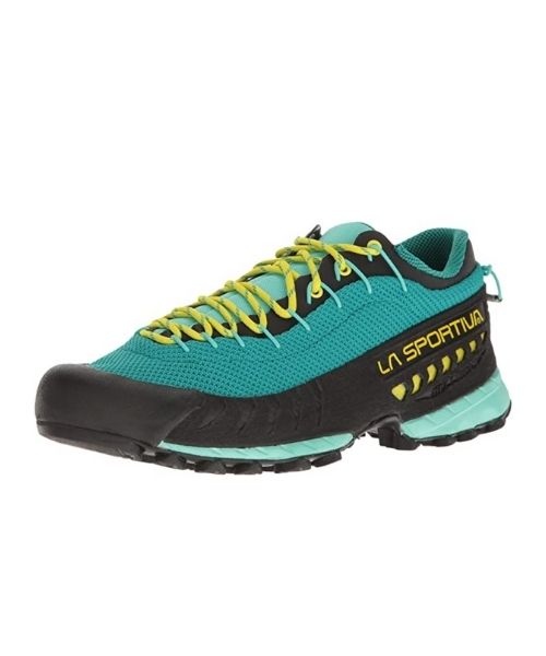
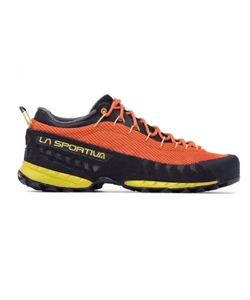
If you plan on going to the waterfall, you will need shoes with good traction. The Bridal Veil Falls Trail to Upper Falls gets steep, rocky, and slippery at times. You’ll be gaining around 313 ft in just 0.2 miles. The trail can get confusing. There are multiple options, some straight up and some with switchbacks. So, choose your poison. Since the trail can be confusing, we recommend using the AllTrails app for tracking your route.
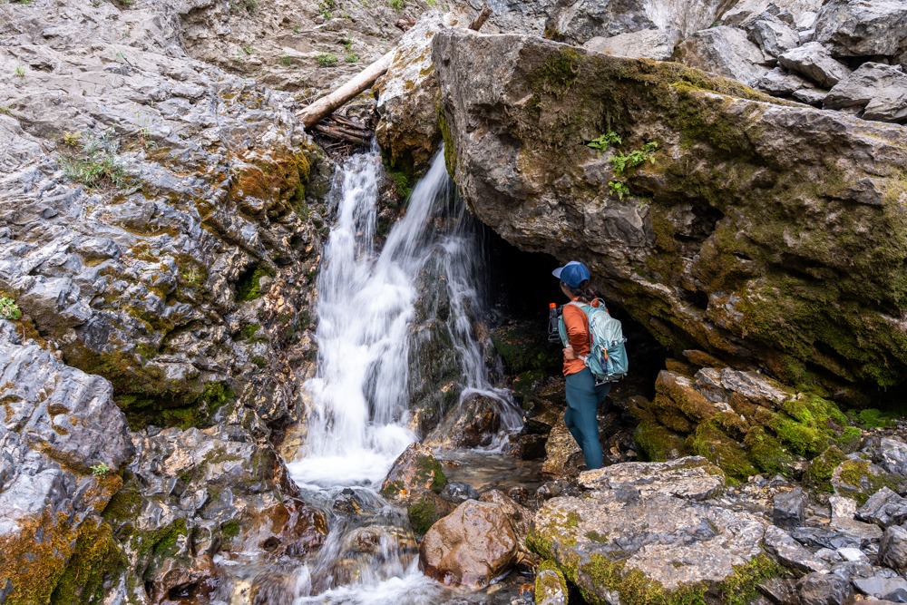
Once we got near the top of the hill, we saw Upper Falls tucked near the rock way. To reach the falls, we had to conquer a hill full of shale. It wasn’t bad going up, but it can be tricky going back down. The Upper Falls stand around 40ft tall. It has a very impressive flow rate. From here, we can look out to the valley below.
After spending some time at Upper Falls, we were ready to head back. As mentioned above, it can get slippery going back down because of the shale. It had also been raining on and off when we went, so the trail was muddy. Because of the mud, the Bridal Veil Falls Trail to Upper Falls became extra exciting.
Once we reached the main paved trail, we turned left to get back to the car. However, we weren’t done yet. From here, we wanted to get closer to Bridal Veil Falls. To get to the actual bottom of Bridal Veil Falls, we once again had to go off trail. This turn-off is right behind a covered picnic table, not too far from the bridge at the bottom of Talus Cascade.
At the picnic table, we went left (right if you’re coming from the parking lot) to follow a small trail that goes uphill toward Bridal Veil Falls. This side trail can be steep in sections; however, it wasn’t anywhere near as steep as Upper Falls. This time, you will be gaining 157ft in 0.2 miles.
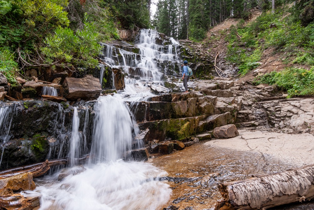
Bridal Veil Falls stands at an incredible 480 ft. If you add the Talus cascades, the overall height is an incredible 607 ft. If you only have time to visit one of the waterfalls, this is our pick. There are rock steps underneath the falls. So, if you want, you can climb up directly into the flow of water. This area can be slippery, so make sure to be careful. After you’re done, return the same way you came.
If you love waterfalls, check out Donut Falls in Big Cottonwood Canyon, UT. We also love Gloria Falls in Little Cottonwood Canyon. Gloria Falls isn’t too far from Cecret Lake, where you can see tons of axolotls and salamanders!
Happy Adventuring. Don’t forget to check out the related posts below for more inspiration on your upcoming adventures. While at it, follow us on Instagram and subscribe to our YouTube channel! We’ll love you forever!
These are the gear that we personally use and find helpful for this particular adventure. Don’t forget to check out our Recommended Gear section as well.


Our favorite biodegradable, eco-friendly, reef-safe sunscreen!


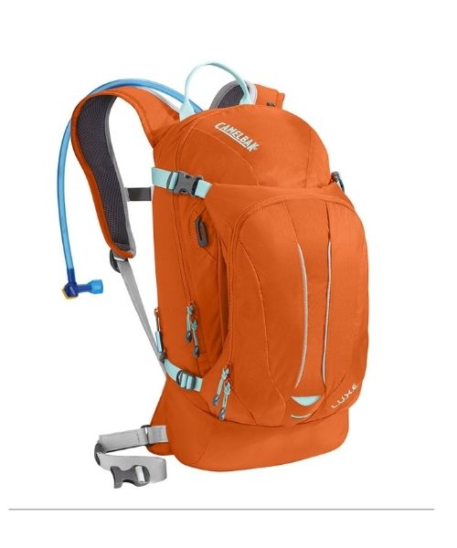
This is Vy's favorite hiking bag! It has tons of room for snacks and water!
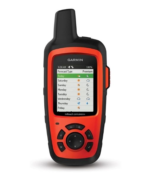
It's always good to bring a GPS tracker with you. We use the Garmin inReach.
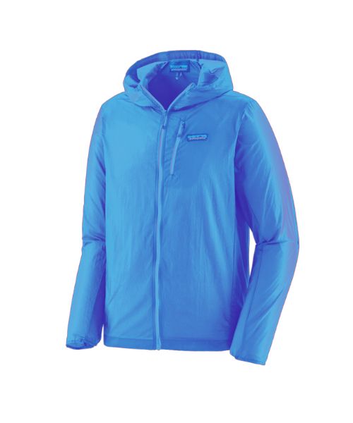
This jacket is packable into a super small and light little ball. Perfect for when you just need a little…
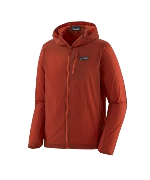
This jacket is packable into a super small and light little ball. Perfect for when you just need a little…
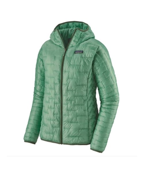
Our favorite hiking/travel jacket. It's warm and packable, perfect to bring on a hike or a road trip.
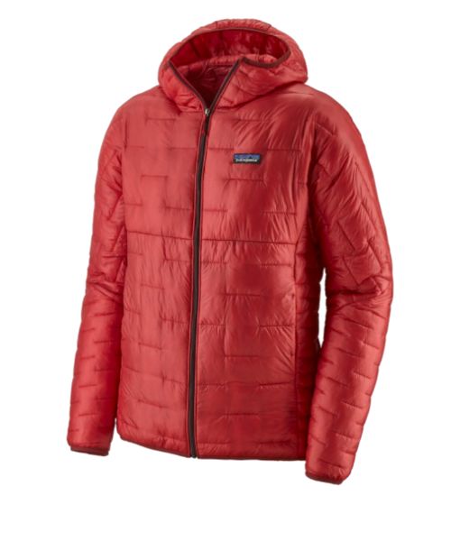
Our favorite hiking/travel jacket. It's warm and packable, perfect to bring on a hike or a road trip.
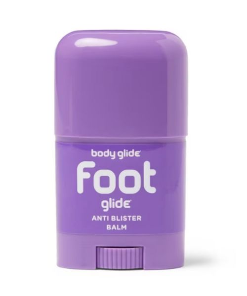
If you tend to have foot blisters on hikes, get this! We use this all the time.
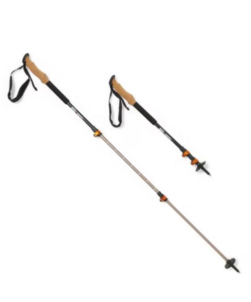
These hiking poles are sturdy, and great to help keep your balance on short or longer hikes
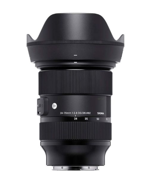
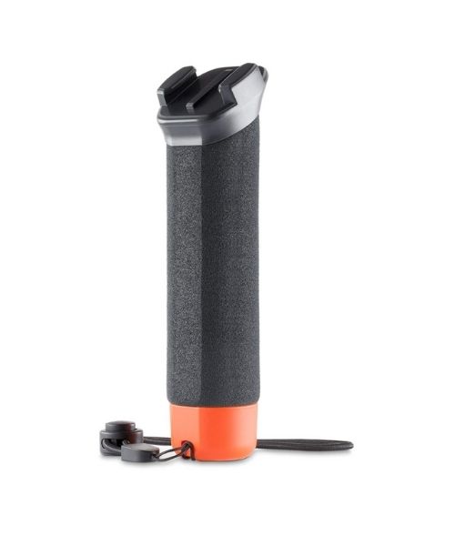

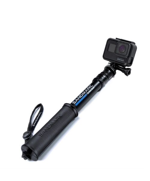
Compact GoPro pole that extends to 25", perfect to bring on your adventure.
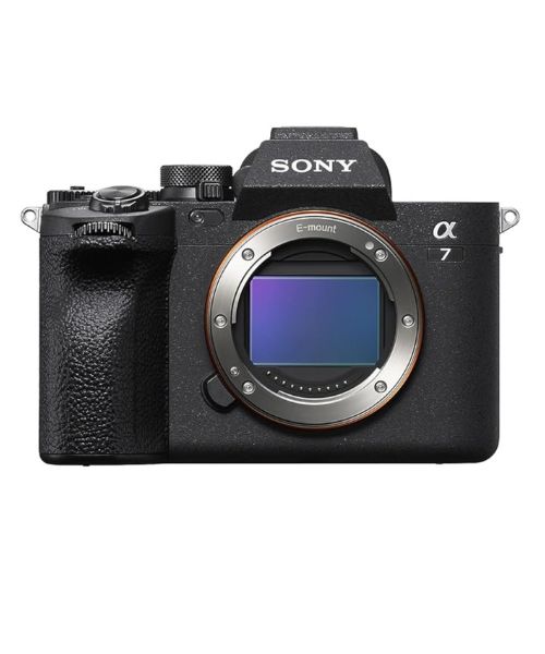
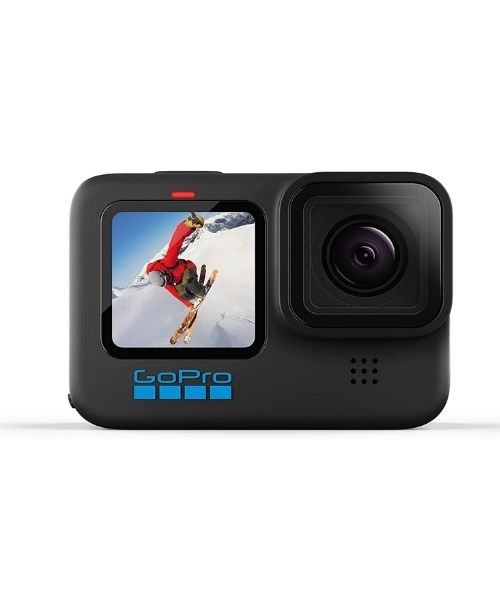
This is our go-to camera for all of our adventures. It comes with us everywhere!
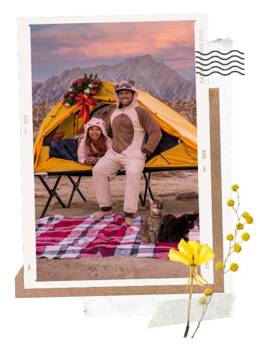
Nice to meet you!
Hi! We are Dustin & Vy, the proud creators of Live That Adventure. We created this website because we wanted to inspire others to live their lives to the fullest. On here, you’ll find everything from hiking, canyoneering, kayaking, and snorkeling to adventure and travel tips, gear reviews, and bucket list items such as bungee jumping or wing walking. We’ll show you the ropes so you can do them too!
Subscribe
Get our best adventure tips, guides and more send to you!