



Live That Adventure Logo
Adventure is not a hobby, it’s a lifestyle!
Albion Meadows to Cecret Lake in Alta, UT

How to Hike Albion Meadows to Cecret Lake in Alta, UT

A few weeks ago, our good friend, Megan, proposed a road trip to Utah. Apparently, she wanted to do a hike that has tons of wildflowers and axolotls. The next thing we knew, we were pulling our car into the parking lot for the Albion Meadows to Cecret Lake trail in Alta, Utah. Technically, you can split this hike into 2 sections: the Albion Meadows section or the Cecret Lake section. The wildflowers are in the Albion Meadows section, while Cecret Lake is where you can see the axolotls and salamanders. This time, we chose to combine both sections into one longer hike so we could see everything! 

Albion Meadows to Cecret Lake trail is longer and steeper; however, you’ll get to see both beautiful meadows full of wildflowers and the axolotls. This trail starts from the Albion Base area. Albion Base area has more parking, and it is FREE! The parking area at the Cecret Lake trailhead is much smaller and also requires a fee to park.

Compass
Table of Contents

Stats

Where

Albion Meadows Trailhead
40.590990, -111.628617

Parking

There is a big paved lot in front of the trailhead. This lot is open only in the summer when the Alta Ski Resort is not in operation. If this lot is closed, you can park along Little Cottonwood Canyon, on the opposite side of the Albion Base parking lot.

Fee

It’s FREE if you park at the Albion Base area. If you park at Catherine Pass or Cecret Lake’s parking lots, there is a fee.

Restroom

There are vault toilets at Catherine Pass and Cecret Lake’s parking areas.

Pet-friendly?

Pets are NOT allowed on trail.

Distance

4.5 miles R.T.

Elevation Gain

1328 ft

Level

Moderate

Time

Takes an average of 2.5-3 hours. We took 5 hours because we were checking out the wildflowers and hanging out with the axolotls. 

Ideal Time

This trail is only intended to be done in the summer months. The best time to go is late July to early August, when the wildflowers are blooming. 

Weather
ALTA WEATHER

Getting There

The trailhead for the Albion Meadows to Cecret Lake trail is located between Albion Grill and Alta Ski Shop at Albion Base in Alta, Utah. This hike is meant to be done in the summer months, when the Alta Ski Resort is not in operation. To get here, take Little Cottonwood Canyon toward Alta, UT. Right after passing Rustler Lodge and Snowpine Lodge, turn right into Albion Base’s parking lot. This is where you will start your hike. If this lot is full, there are more parking spots along Little Cottonwood Canyon, on the opposite side of the Albion Base parking lot.

The Adventure

We started our Albion Meadows to Cecret Lake trail bright and early. It was supposed to be a warm day, so we wanted to start early to beat the heat. From the trailhead, we followed the sign to go left. The trail runs along the path behind the Albion Grill. Most of the time, the trail is quite easy to follow until you get near Cecret Lake. From there, it can get a bit confusing, but not too bad.

The Start of the Trail

After leaving behind all the buildings, the trail headed uphill into the trees. Even at the start of the trail, tons of wildflowers were blooming. We did this trail in early August, so we missed the peak wildflower time by a few days. Fortunately, there were still a good amount of flowers for us to admire. 

This section of Albion Meadows to Cecret Lake trail was a steep uphill. For a short distance, the trail sometimes runs along and sometimes right below the ski lift. Soon, the trail veered away from all the man-made structures, and we got more views of the trees and mountains. Along the way, there were a few junctions. There were signs at these junctions. So, as long as you follow the signs for Albion Meadows/Cecret Lake, you will be fine.

Through the Meadows

As we made our way through the meadows, we couldn’t help but stop and look at all the lush vegetation and colorful wildflowers. Next year, we planned to do this hike a bit earlier in the season so we could see all the wildflowers in full bloom! Even at the tail end of the season, there were still a lot of flowers. 

Albion Meadows to Cecret Lake trail ascended steadily. It wasn’t that much of a gain. However, because we were at a much higher elevation (starting at 8700 ft), we all felt the effect of altitude sickness. If you’re coming from a much lower elevation like us, be prepared for altitude sickness on this hike. Especially when you get closer to Cecret Lake, where the altitude peaked at almost 10,000 ft. Make sure to bring enough water and snacks and take as much time as you need. We ran into a few people on the hike who had no idea what altitude sickness is. They didn’t bring enough water or snacks. We ended up giving them some of our water and protein bars.

Catherine Pass Trail Junction

The views through the meadows were beautiful. Everything was lush and green with pops of color mixed in. Eventually, we came to another junction. Going left up the hill will take you to Catherine’s Trail Access and Parking. Going straight will continue to Cecret Lake. If you’re only doing Albion Meadows, you can go up to Catherine’s Trail Parking Lot then return the same way. There were a few photo ops along the trail up to Catherine’s Trail Parking Lot. Since our destination was Cecret Lake, we continued straight.

From Alf’s Restaurant Building

The Albion Meadows to Cecret Lake trail once again runs along a beautiful meadow with tons of wildflowers and imposing mountains in the distance. Eventually, we reached more buildings and ski lifts. Here, we followed the sign to go left toward Cecret Lake. This path leads up the hill, then circles the big building to its side. Then, the trail follows along the ski lift for a short distance. Soon, we crossed over a couple of wooden boardwalks and came to another junction. At this junction, if you go straight, the trail takes you to the start of the Cecret Lake trail and parking lot. We wanted to get away from all the man-made structures as soon as possible, so we opted to go right. Going right takes you on the Devil’s Castle Loop, which is much more scenic. Devil’s Castle Loop meets up with the Cecret Lake Trail later.

Devil’s Castle Loop

Once we got on the Devil’s Castle Loop, the trail wove through towering trees and lush vegetation. Along the way, we spotted an island of trees. These pines were growing out of a rocky island, looking like they were floating in the air. This reminds us of the tree island on our hike at Elk Head & College Cove in Trinidad, CA. Once past the island of trees, we crossed over a small wooden bridge. After this wooden bridge, the trail starts its steep ascent. We had to stop a few times to catch our breath. Fortunately, the scenery was so beautiful that we couldn’t complain too much.

Cecret Lake Trail

After this steep hill, the Devil’s Castle Loop meets up with the main Cecret Lake trail. You can tell because the Cecret Lake trail is wider and nicely maintained. There’s also an informational sign just up the road. From this sign, you can learn about the Geologic Forces that took place here. The view from this information sign is also breathtaking. Don’t forget to take a few minutes to enjoy the views. Along the way, there are a few more informational signs where you can learn about the animals and plants in this area. 

Once leaving the first informational sign, the Albion Meadows to Cecret Lake Trail continues up a slight hill. After one more junction and a couple of creek crossings, we reached the rocky area. This is where the Cecret Lake Trail becomes a bit more challenging. Since this area is rocky, the trail can get faint in certain spots. Luckily, it is a very popular trail, so you can always follow your fellow hikers. Even if you’re by yourself, you can find the trail easy if you pay a bit more attention. This rocky area reminds us of the Glacier Trail in the Great Basin National Park.

The Rocky Area

This rocky area is also where we spotted marmots. We saw two of them running around and sunning themselves on the rocks. They were adorable. Besides marmots, there were also tons of squirrels and chipmunks. Please don’t feed or harass these animals. It is against the law. Also, keep an eye on your snacks. We’ve seen these squirrels and chipmunks chew through hiking bags to steal food.

The rocky path went up and zig-zagged its way to the top of the hill. Even though there wasn’t any scrambling, the trail is very rocky, so watch your steps. After a few zig-zags, we reached our destination: Cecret Lake.

Cecret Lake and Salamanders

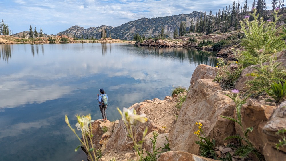
Cecret Lake is very popular, so you’ll see people there. There’s a reason for that! Not only is Cecret Lake beautiful, but you can see tiger salamanders and axolotls here. Technically, the axolotls here are not axolotls. They are larval tiger salamanders. While they look similar with the feathery external gills, true axolotls are native exclusively to Lake Xochimilco in Mexico. The salamanders and larval tiger salamanders here are protected. So you CANNOT harass them. Also, because Cecret Lake is a protected public drinking water watershed for Salt Lake City, swimming, wading, or touching the water is strictly prohibited.

We found the best spots to see the tiger salamanders are on the left side of the lake, if you’re coming out from the main trail. The salamanders tend to stay in the shallower area, while the larval tiger salamanders prefer deeper water. Salamanders need to swim to the surface to breathe every once in a while, while the larval tiger salamanders can breathe through their gills. If you just sit still near the shallow area, you could see the salamanders swim up for air. They are super cute.

The Loop Around the Lake

If you have time to spare, we recommend doing the loop around the lake. This way, you can see more of the lake. Also, in the deeper area of the lake, you can see more larval tiger salamanders. The loop around the lake is more rugged than the main Albion Meadows to Cecret Lake trail. There are a few narrow sections as well as some scrambling. However, it’s worth it! Once you’re done, return the same way.

For more things to do in this area, check out Gloria Falls just down the street. If you love this type of hike, check out Mist Falls Trail in Kings Canyon National Park, Badger Valley to Grand Lake Loop in Olympic National Park, Duck Lake Pass, Crystal Lake, or Valentine Lake in Mammoth Lakes.

Happy Adventuring. Don’t forget to check out the related posts below for more inspiration on your upcoming adventures. While at it, follow us on Instagram and subscribe to our YouTube channel! We’ll love you forever!

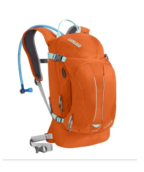
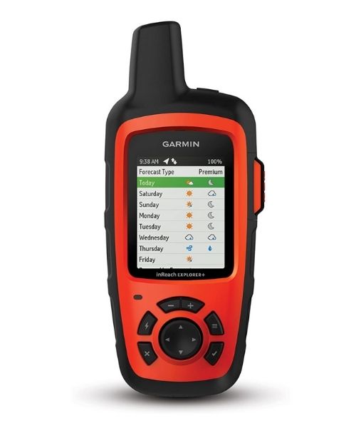
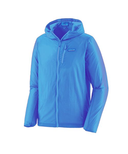
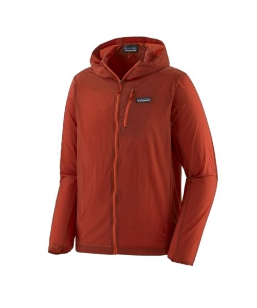
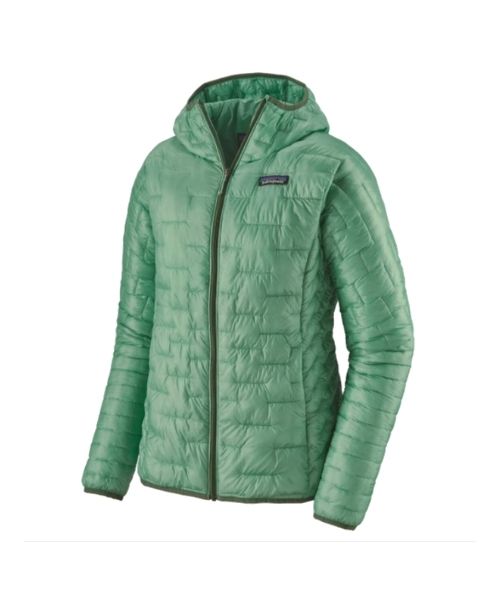
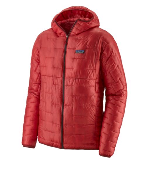
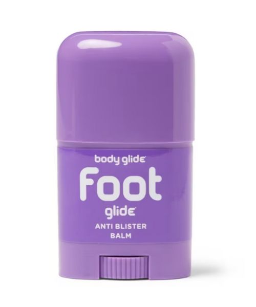
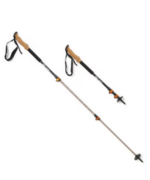
Recommended Gear

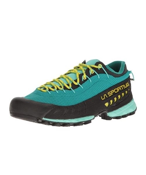
These are the gear that we personally use and find helpful for this particular adventure. Don’t forget to check out our Recommended Gear section as well.

Adventure Gear
  • All
  • Biking Gear
  • Camping Gear
  • Canyoneering Gear
  • Favorite Biking Gear
  • Favorite Canyoneering Gear
  • Favorite Hiking Gear
  • Favorite Kayak Gear
  • Favorite Road trips Gear
  • Favorite Water Gear
  • Hiking Gear
  • Main Favorite
  • Photography
  • Road Trips Gear
  • Travel Essentials
  • Water Gear
Camera Gear
  • All
  • Biking Gear
  • Camping Gear
  • Canyoneering Gear
  • Favorite Biking Gear
  • Favorite Canyoneering Gear
  • Favorite Hiking Gear
  • Favorite Kayak Gear
  • Favorite Road trips Gear
  • Favorite Water Gear
  • Hiking Gear
  • Main Favorite
  • Photography
  • Road Trips Gear
  • Travel Essentials
  • Water Gear

Nice to meet you!

Side bar: Our photo

Hi! We are Dustin & Vy, the proud creators of Live That Adventure. We created this website because we wanted to inspire others to live their lives to the fullest. On here, you’ll find everything from hiking, canyoneering, kayaking, and snorkeling to adventure and travel tips, gear reviews, and bucket list items such as bungee jumping or wing walking. We’ll show you the ropes so you can do them too!

Subscribe

Get our best adventure tips, guides and more send to you!

Related
Adventures
Share the Love

LEAVE A COMMENT

Your email address will not be published. Required fields are marked *