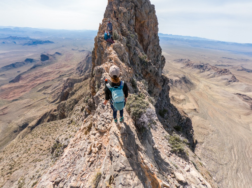
I’m not sure how we came across Moapa Peak Trail near Valley of Fire in Nevada, however, this hike has been on our radars for a few years now. Due to its location and difficulty, we only had a small window of time each year for the perfect weather to do this hike. After 2 years, we finally found the perfect day and the perfect crew to attempt this awesome hike with us. Moapa Peak Trail is a desert classic due to its incredible knife-edge summit ridge. This exposed ridgeline is about 300 feet long, with some areas only a foot or so wide. It is not for the faint of heart but for those adrenaline junkies with the appropriate skills, it’s such a fun adventure! Besides the knife-edge ridge, Moapa Peak Trail also features beautiful scenery, challenging route-finding, and tons of class 3 scrambling.
Disclaimer: This hike is dangerous! There is no trail so you’ll also need route-finding skills. It is also very steep, with most of the gain occurring in the last 2-2.5 miles. The knife-edge ridge itself can be very intimidating, considering that it is fully exposed, on both sides. There are class 3 scrambling along the ridgeline as well. So, proceed with caution and to your ability. It’s completely fine to turn back at the ridge if it is not for you! Also, make sure to practice Leave No Trace!

Moapa Peak Trailhead
36.834454, -114.441658
There is a big dirt space in front of the trailhead.
Free
There is no restroom anywhere here
Leave your pet at home. We don’t recommend bringing your dogs whatsoever!!
• There is no signal so make sure to download your offline map ahead of time.
• Do not attempt this hike if the temperature in Vegas exceeds 85°F on the day of your trip. There is absolutely no shade en route.
• Bring plenty of water, regardless of the season.
• Do not attempt this hike if you are nervous about heights or have compromised balance.
7 miles R.T.
3,280 ft
Strenuous! You need to know how to find your route. There is no actual trail. It is also very steep and slippery with many exposed sections. The knife-edge ridge is fully exposed.
Takes average 6-8 hours
The desert heat in the summer months is brutal during the day, this peak is best climbed in winter, or early spring/late fall. Go very early if making an ascent in summer.
The trailhead of Moapa Peak Trail is located off I-15, about 1.5 hours north of Las Vegas, Nevada. From Las Vegas, follow I-15 North to Carp Elgin Road. Exit of Carp Elgin Road and turn right onto the paved road. Follow this paved road about 100 yards before turning left at an obvious dirt road, heading in the direction of Moapa Peak. This dirt road is a little over 8 miles to the trailhead. It branches off many times, however, as long as you stay on the obvious main road, you should be able to find your way to the base of Moapa Peak. We also included the coordinates above so you can map your way there.
Even though this dirt road is bumpy and gravelly, you won’t need 4WDs for it. However, we recommend taking a high-clearance vehicle. We got there with no issue with a Toyota Rav4. The trailhead is located at the end of the dirt road. There is an informational sign about the Mormon Mountain Wilderness at the start of the trail.
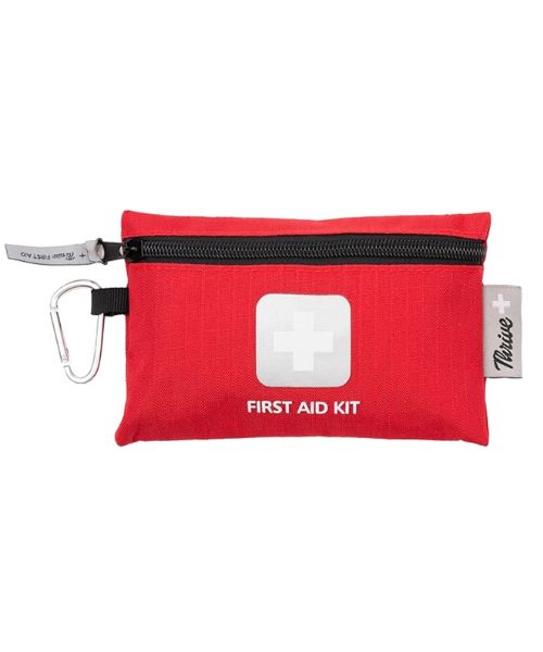
Before starting the Moapa Peak trail, we highly recommend downloading your offline map ahead of time. There is no signal here and we found that the Alltrails map for this hike was quite helpful for navigating this challenging hike. We also recommend bringing a GPS tracker such as the Garmin InReach to help with tracking and use in emergencies. Don’t forget tweezer! Just in case you fell into a cactus! The first-aid kit in our recommended gear has everything that you need!
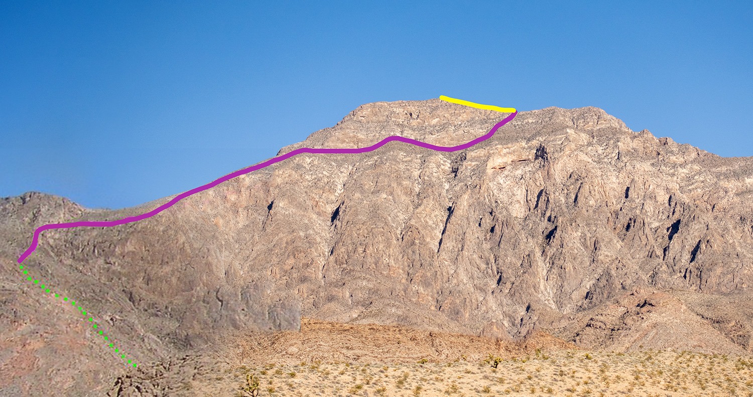
After parking, our group of 7 headed toward the obvious trail to the right of the informational sign. We followed this dirt trail to go through the hills before heading up the wash toward Moapa Peak. At the wash, the dirt trail disappears and turns very rocky with tons of big chunks of loose rocks. So it’s very easy to sprain your ankle if you’re not careful. There are also some scrambling along the way.
Besides the loose rocks, there are also tons of sharp things that could hurt you such as limestone, yucca to different types of cacti like the barrel cacti, prickly pear, claret cup, and strawberry hedgehog. At least half of us finished this hike bleeding one way or another. I had to pull cactus needles out of my palm because I accidentally put my hands on a pile of dead cactus trying to climb up an obstacle.
A way up the wash, we came across an obstacle that we bypassed by climbing up the hill to the left. There are rock cairns along the way to help us navigate the trail, along with the aid of our offline map. The trail then connects over to the right and heads up the hill to where the ridge starts. Once we got on top of the wash, we were treated to a beautiful panorama view of the surrounding area. From here, we could see the Moapa Peak to the right, as well as the direction that we should be taking.
At this point, the Moapa Peak Trail got significantly steeper. We continued to scramble our way up the hill before continuing along the ledges to the top of the ridge. Along the way, there were a few ledges we had to climb up. They weren’t that bad. The rocks are quite sticky with many hand and foot holds.
Near the top of the mountain, we curved around and headed along the bottom (south) of the peak. There is a faint trail hugging along the wall, south side of Moapa Peak. It is a long traverse with a steep drop-off on the right-hand side, toward the east side of Moapa Peak. Make sure you don’t miss this. You need to go right along the wall to go (east-northeast) past the peak, and then backtrack west-southwest to get on the knife-edge ridge
Once we got to the base of the knife-edge ridge, we went right around the big boulders where we found an easy class ⅔ scramble to get up to the ridge. There was a rock cairn there to mark the way just in case you’re not sure where to go.
The knife-edge ridgeline is about 200-300 yards long, before getting to the summit plateau. Even though it is not a tricky climb, the exposure makes this knife edge dangerous and challenging for many people. We were very happy to find that the rocks are very sticky with tons of hand and foot holds. That being said, since this isn’t a popular route, there are many loose rocks on the trail. So, make sure to check your holds first before trusting your life on them. It’s also okay to take your time traversing this ridgeline. We definitely took our time. The night before we attempted this hike, it was so windy. We were so happy that the wind stopped that morning. There is no way we would have attempted this knife edge with the strong wind.
Finally! We got to the summit plateau. From up here, we have an unobstructed 360-degree view. It was a clear day, so we could see the mountains of four states – Utah, California, Nevada, and Arizona. Moapa Peak is also an archaeologist’s dream came true. We actually saw a live T-Rex at the summit!! Just kidding! Our friend Charleen brought her T-Rex costume with her all the way to the peak so she could get a picture with it! So say hello the Charleen, Miss T-Rex!
After all of our shenanigans, we made our way back down the peak since we had a late start and it’s getting later in the day. We started our adventure around 9:30 am, but we wished that we had got to the trailhead a lot earlier. That way, we would have more time to spend on the knife edge. In our opinion, the way down was a lot more challenging than the climb up. Downclimbing is always harder for some reason. The hike down is also very steep and slippery because of all the loose rocks. Not only that, but you also have to keep an eye on all the rouge cacti and sharp rocks. It’s also hard on your knees. All the fun combinations, right?
Maybe because it was getting dark, or because we were getting fatigued, the way down seemed so much longer than the way up. The wash toward the end seems to go on forever. By the way, make sure you don’t miss that left turn down the wash when you’re ⅔ down the trail. Shout out to Terry for getting to the Jeep earlier and coming to pick us up at the bottom of the wash! You’re such an MVP! Also, a big shout out to Terry and Aaron for being our awesome navigators and herders, and to Vouy, Anh, and Charleen for keeping us company as the sloth hiking team! We guys made the adventure memorable.
If Moapa Peak trail is your thing, check out Moanalua Valley Middle Ridge and 3 Peaks Trails. They are some of our favorite peak hikes. Another popular, but must-do one is Angel’s Landing. It is popular for a reason!
Happy Adventuring. Don’t forget to check out the related posts below for more inspiration on your upcoming adventures. While at it, follow us on Instagram and subscribe to our YouTube channel! We’ll love you forever!
These are the gear that we personally use and find helpful for this particular adventure. Don’t forget to check out our Recommended Gear section as well.

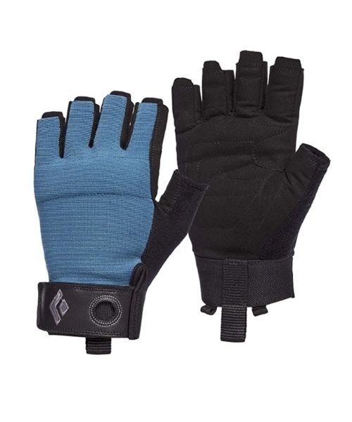
These gloves are perfect for climbing, scrambling and canyoneering
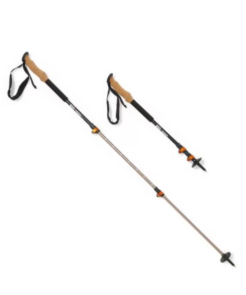
These hiking poles are sturdy, and great to help keep your balance on short or longer hikes
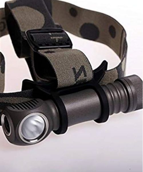
Our favorite head light! It's super bright and long-lasting. We bring this on hikes, caving, and more.
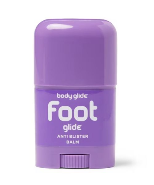
If you tend to have foot blisters on hikes, get this! We use this all the time.
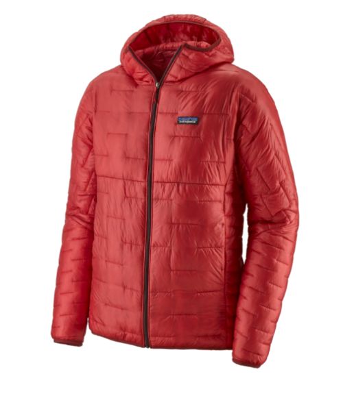
Our favorite hiking/travel jacket. It's warm and packable, perfect to bring on a hike or a road trip.
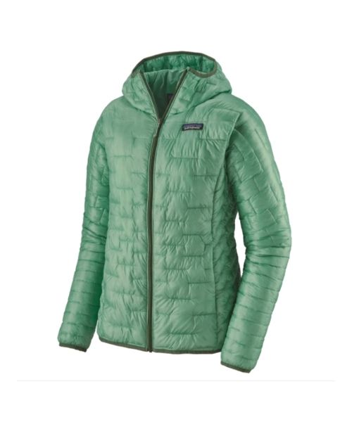
Our favorite hiking/travel jacket. It's warm and packable, perfect to bring on a hike or a road trip.
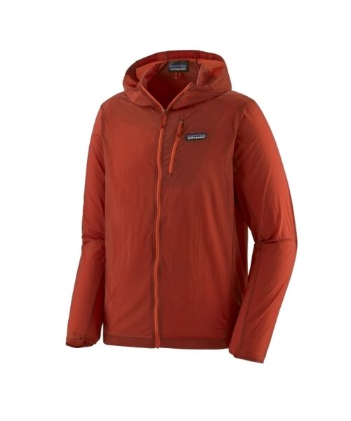
This jacket is packable into a super small and light little ball. Perfect for when you just need a little…
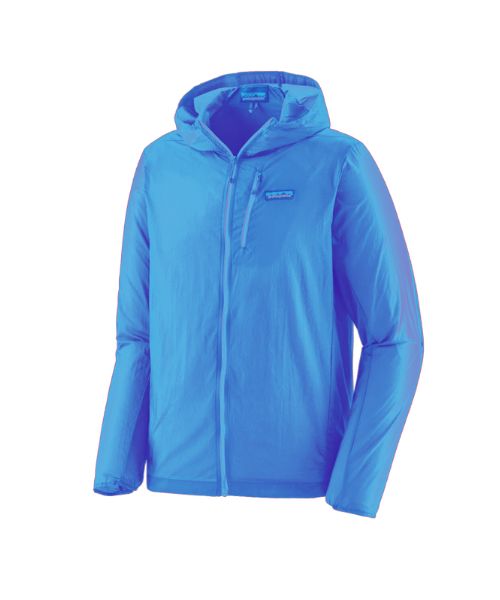
This jacket is packable into a super small and light little ball. Perfect for when you just need a little…
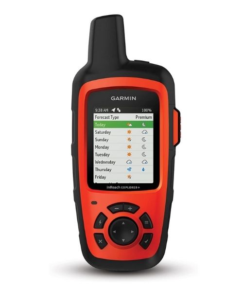
It's always good to bring a GPS tracker with you. We use the Garmin inReach.
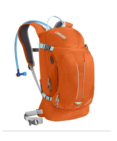
This is Vy's favorite hiking bag! It has tons of room for snacks and water!


Our favorite biodegradable, eco-friendly, reef-safe sunscreen!
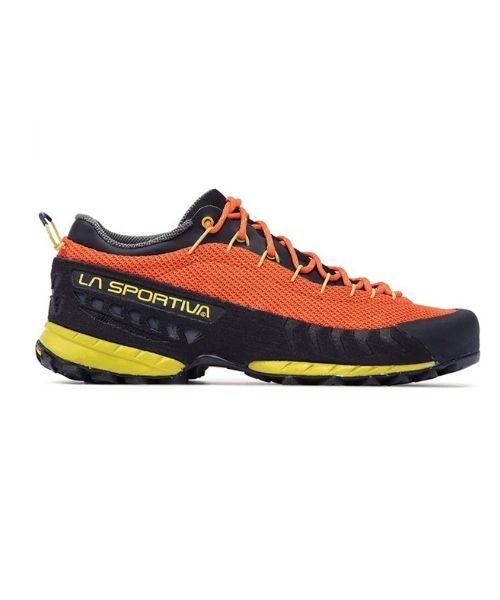
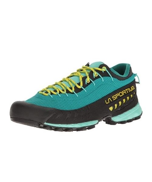

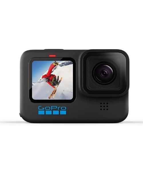
This is our go-to camera for all of our adventures. It comes with us everywhere!
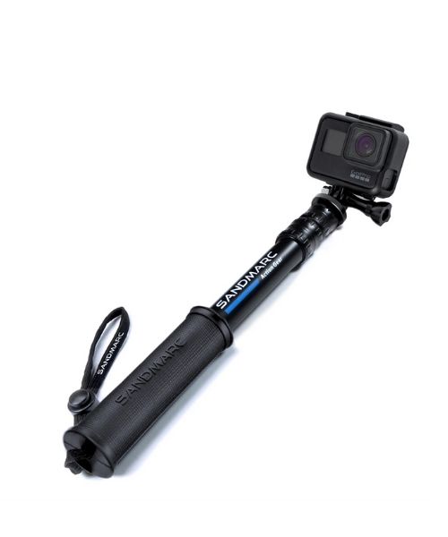
Compact GoPro pole that extends to 25", perfect to bring on your adventure.


Nice to meet you!
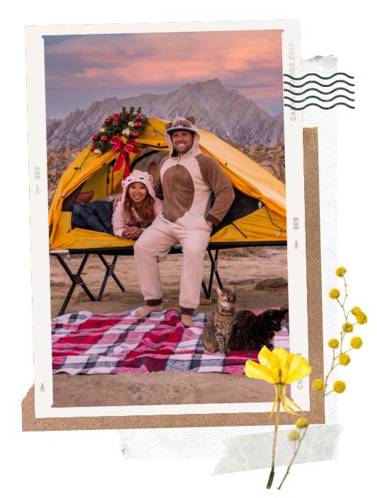
Hi! We are Dustin & Vy, the proud creators of Live That Adventure. We created this website because we wanted to inspire others to live their lives to the fullest. On here, you’ll find everything from hiking, canyoneering, kayaking, and snorkeling to adventure and travel tips, gear reviews, and bucket list items such as bungee jumping or wing walking. We’ll show you the ropes so you can do them too!
Subscribe
Get our best adventure tips, guides and more send to you!
Subscribe
Get our best adventure tips, guides, and more send to you!