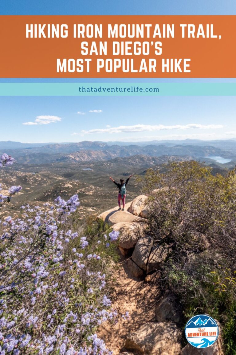
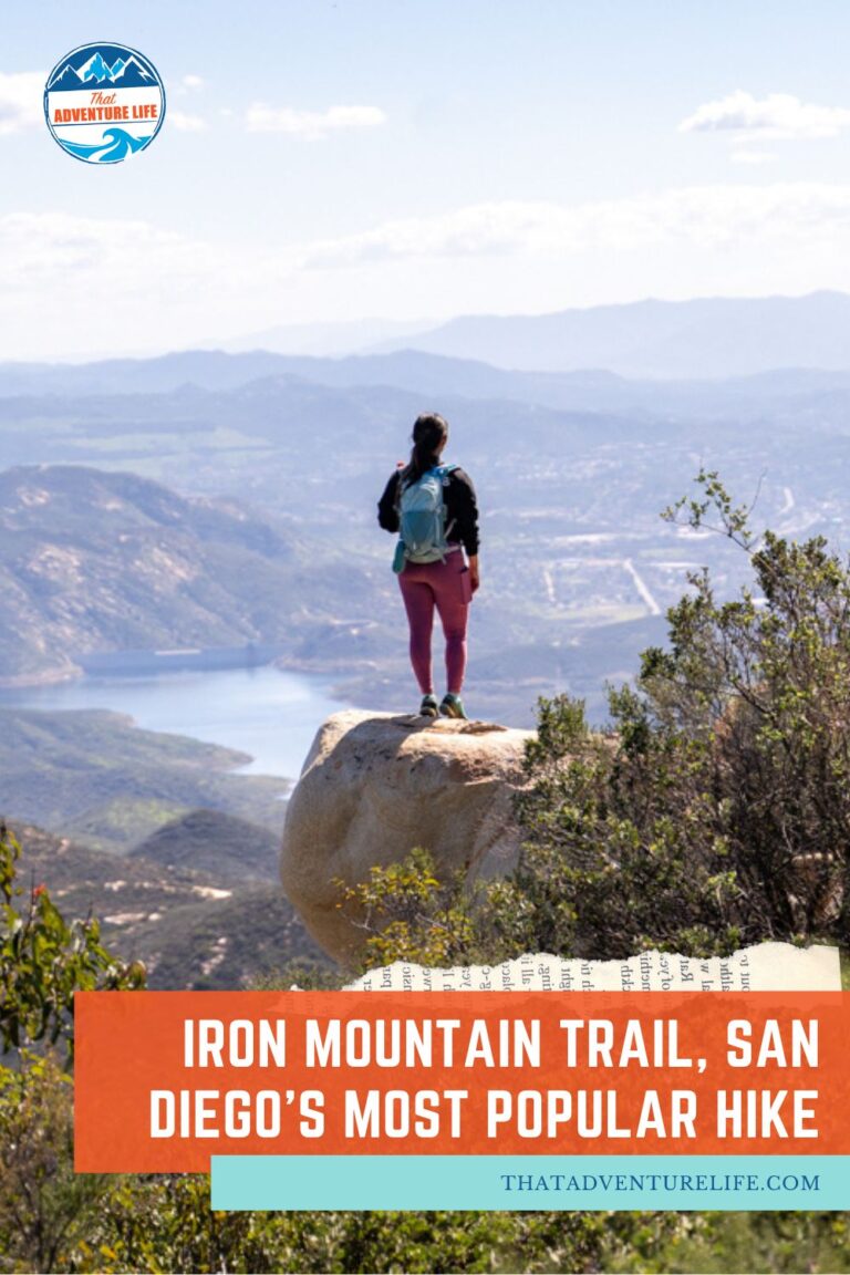
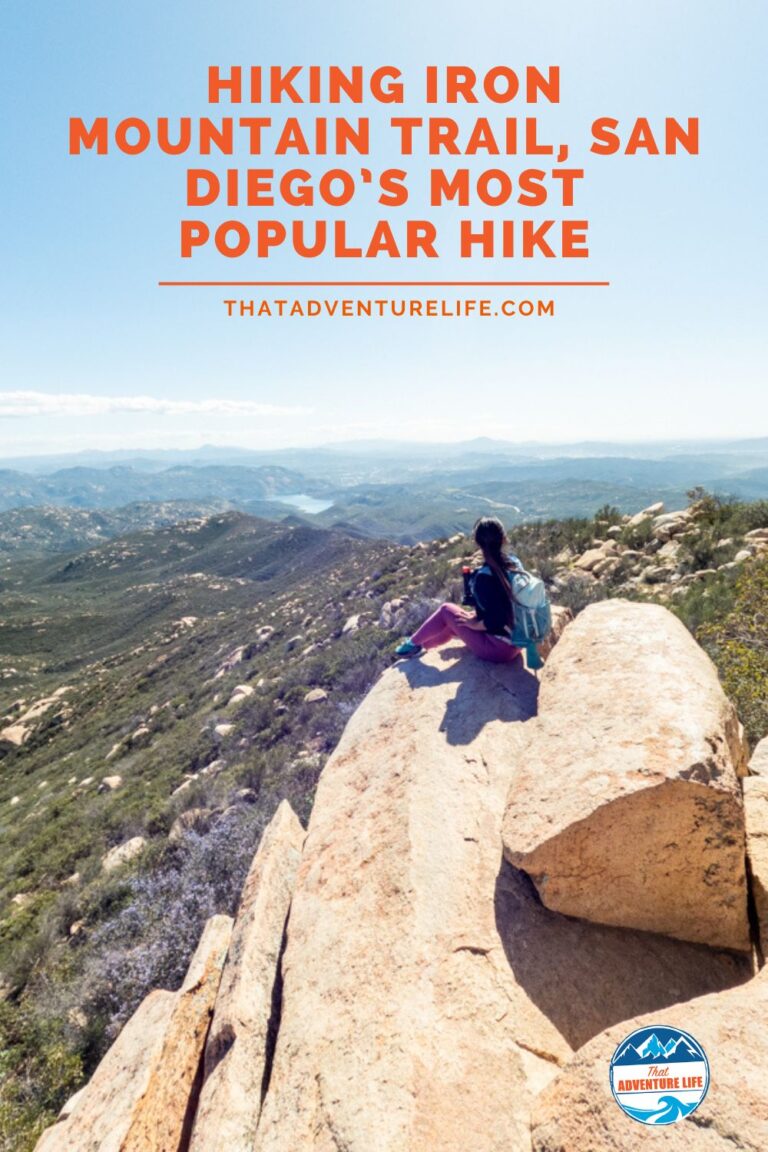
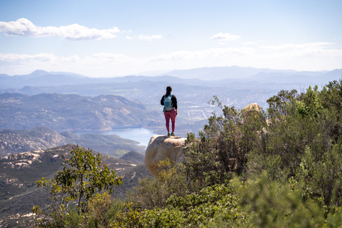
Living in San Diego for most of my life, Iron Mountain Trail is one of my favorite trails to hike. Apparently, I’m not the only one who thinks so because Iron Mountain is one of the most popular hikes in San Diego. And for good reasons. Besides being a wonderful workout, this trail also offers a great payoff. Iron Mountain Trail leads to the 2nd highest peak in Poway and offers panoramic views of Northern San Diego County. On a clear, you can see all the way to Mt. Woodson and Catalina Islands. And if you visit during the Spring, the wildflowers are just breathtaking to see.
Stats
Where
Iron Mountain Trailhead
14847-14909 CA-67, Poway, CA 92064
32.978318, -116.972600
Parking
There is a decent-sized paved lot in front of the trailhead. You can also park along Highway 67. However, if you do, please use extreme caution. The traffic moves fast on this road.
Restroom
There is restroom at the main trailhead.
Fee
It is free
Distance
5.9 mi R.T.
Elevation Gain
1,125 ft
Level
Moderate
Time:
3-4 hours
Pet-friendly
You can bring your pet, but they have to be on leash.
Ideal Time
You can do this hike any time of the year, however, it is a very busy trail so go early on a weekday if you want some peace and quiet. It can get very busy on the weekends. If you go in the Spring, the wildflowers are beautiful here.
Weather
Video
Getting There
Iron Mountain Trail is located in Poway, part of San Diego County. There are a few trailheads and routes to hike to Iron Mountain, but we will show you the most popular route with the largest parking area. To get here, from 15 North or South freeway, exit off Poway Road Exit. Then, take Poway Road east all the way through Poway and up the hill until it ends at Highway 67. Directly across from this point is the parking lot and the trailhead for Iron Mountain. We also included the address for this trailhead above so you can just GPS your way there.
Since the parking lot is also used by bikers, trail runners, as well as hikers, it can get very busy, especially during the weekends. If you’re planning to go on a Saturday, make sure to get there before 10 a.m. Early weekdays are a lot better. If the lot is full, you can park along Highway 67. However, if you do, please use extreme caution. The traffic moves fast on this road.
The Adventure
The Start of the Iron Mountain Trail
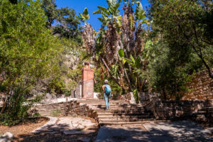
The trail to the summit of Mountain Iron is quite straightforward. It is also very well-marked, except for a couple of intersections. However, since Iron Mountain Trail is very busy, you can always ask for directions in case you get lost. From the parking lot, we headed toward the iconic gate to start our hikes. After a short gravel section, the trail ducked under the shaded oak tunnel. This shaded oak tunnel is one of my favorite parts of this trail. It is very pretty. The tunnel goes on for a bit before quickly opening up to a dirt trail.
We followed the dirt trail to go straight up toward the hills. The first 0.75 miles of the hike is mellow, just a gradual climb. Along the way, there are a few intersections to other hikes, however, you can just stay on the main trail to Iron Mountain Peak. If you go at the right time, there are tons of wildflowers lining along the way. It’s quite beautiful. Eventually, the Iron Mountain Trail starts to get steeper and rockier. You’ll be climbing up some rock steps and dirt staircases.
The Climb
When you reach the intersection with a trail marker, turn left to keep going toward the summit of Iron Mountain. After this turn, Iron Mountain Trail continues to ascent with some steep and rocky sections. Fortunately, even though there are multiple steep sections on this hike, none of them are very long. And as you hike up higher, the views behind will get better.
Eventually, we came upon a big trail sign. From here, it is 1.45 miles to the summit. We followed the sign to make a right to continue on our way. After the big sign, the Iron Mountain Trail climbs up and down before getting to the last climb, a switchback section. This final climb is the steepest section of the entire hike. It is also quite rocky. After huffing and puffing, we reached the summit of Iron Mountain.
Iron Mountain Summit
The views from the top of Iron Mountain in San Diego are beautiful. You could get uninterrupted 360° views of the whole area. From here, we could see the peak of Mt. Woodson, where all the antennas are. This is where the popular Potato Chips Rock is located. To the southeast, you could see El Cajon Mountain and Cuyamaca Peak. To the west, you can see San Diego and the ocean. If you’re ready for a break after that workout, there are picnic benches around. There is also a magnifying viewer and an analog viewfinder so you can identify the landmarks. The summit of Iron Mountain can get very busy, but there are many secluded areas that you could find for some peace if you prefer. Once you’re done, head back to the way you came from.
Not sure if you can tell, but we love this hike! It is a perfect workout route with beautiful views. We highly recommend checking this one out!
These are the gear that we personally use and find them helpful for this particular adventure. Don’t forget to check out our Recommended Gear section as well.
adventure gear
This is our favourite hiking shoes. We use them for canyoneering as well. Lots of traction. Vy’s version.
Dustin’s version for La Sportiva shoes
Make sure to use lots of sunscreens! We use eco-friendly, reef-safe sunscreen, Stream2Sea SPF 30.
Face sunscreen is also important. We love these tinted, organic All Good Organic Sunscreen Butter.
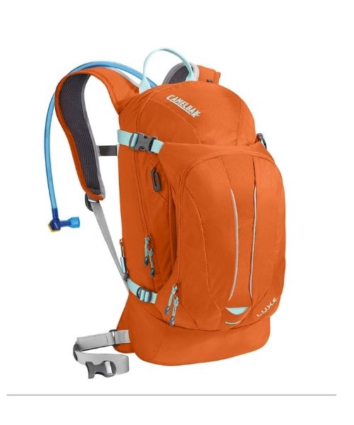
You should always bring plenty of water. Vy loves the Camelback L.U.X.E.
For shorter hikes, the Patagonia Women’s Nine Trails Pack 18L is perfect to hold water and your essentials.
If you want something lighter, we love the packable Patagonia Women’s Houdini® Jacket and Patagonia Men’s Houdini® Jacket
other things to bring
Always good to bring some snacks with you. For healthy and easy snacks, check out some of our recipes.
camera gear
Related Posts
Save your pins:
