Only 30 miles from Las Vegas, the Historic Railroad Trail is an easy trail that offers beautiful views of Lake Mead, cool railroad tunnels, and a unique way to get to Hoover Dam in Nevada. This awesome trail is also full of history. Even though Dustin and I are not history buffs, learning all the facts about this trail makes it extra enjoyable. Unlike Goldstrike Hot Springs, another awesome hike just down the road, the Historic Railroad trail is easy, mainly flat, kid and pet friendly, and also a perfect trail for biking if you prefer.
Note: Please make sure to respect this beautiful place and the surround areas. Always practice LEAVE NO TRACE. This means no loud music, no graffiti, no carving in sandstone walls and pack out what you pack in! Please help us protect this place for generations to come!
Stats
Where
Historic Railroad Trail Trailhead:
36°00’42.8″N 114°47’38.0″W
Parking
Decent sized paved parking
Restroom
There is vault toilet at the trailhead.
Fee
Free
Weather
Distance
About 8 miles R.T.
Elevation Gain
500 ft (most of the gain is at the end to Hoover Dam)
Level
Easy
Time:
3-4 hours
Pet-friendly
Historic Railroad Trail is pet-friendly.
Ideal Weather
Best months to go is Oct through May. PLEASE DO NOT HIKE FROM JUNE THROUGH SEP!! The summer heat can kill!
Ideal Time
Early morning for less crowd and cooler weather. This also allow you tons of time to visit the Hoover Dam and get back before the gates close. This trail only open during daylight hours.
Video
The Adventure
Getting to Historic Railroad Trail trailhead
The Historic Railroad Trail trailhead is located just down the road from the Alan Bible Visitor Center. Once you turn onto Lakeshore Drive, toward the Visitor Center, keep going straight to pass the turn for the Visitor Center. The main parking and trailhead for the Historic Railroad trail are just down the road from the Visitor Center, on the right. It is free to park here and also to hike the Historic Railroad Trail. The trail starts at the informational kiosks. If this lot is full, you can also park at the Visitor Center and hike down. You can also access this trail from Hoover Dam, however, there is a charge for parking.
Starting the Hike
Since the Historic Railroad Trail is a popular trail, we got here bright and early to get parking. It was a perfect day for hiking, brisk cool air with the cloudy sky overhead. After parking, we headed toward the information kiosks to find the trailhead. The trailhead starts right behind the kiosks and can get a bit confusing. Once we followed this paved road for a short distance, we saw a directional sign at a trail junction. From here, we continued on the dirt trail toward Hoover Dam. The dirt trail curves toward the lake and lead us to a big, metal gate.
It was interesting to learn that this well-maintained trail used to be a railroad track that was built to bring building supplies to Hoover Dam for its construction back in the 1930s. At this time, the nearest thriving city was Las Vegas. Therefore, hauling by train was the most logical way to bring massive pieces of building supplies to this remote place where Hoover Dam was being built.
In 1931, the 30-mile long track was running 24 hours a day and continued until the completion of Hoover Dam in 1935. After that, this track was abandoned with occasional usage from the U.S. Government Construction Railroad section until 1961. However, they eventually dismantled the track by 1962. In the 1980s, this railroad track was turned into a trail. Soon after, in 1984, the area was added to the National Register of Historic Places. Nowadays, the Historic Railroad Trail is the only portion of the Hoover Dam Railroad system that hasn’t been destroyed or is currently underwater.
Tunnel 1 & 2
After the metal gate, the wide dirt path curves toward the edge of Lake Mead. It was a beautiful contrast between the blue water against the brownish mountainside. The blue water of Lake Mead seemed to soften the harsh desert landscape. As we hiked along the Historic Railroad trail, there are multiple signages throughout. These signs are full of interesting facts about the trail itself, as well as Lake Mead and Hoover Dam.
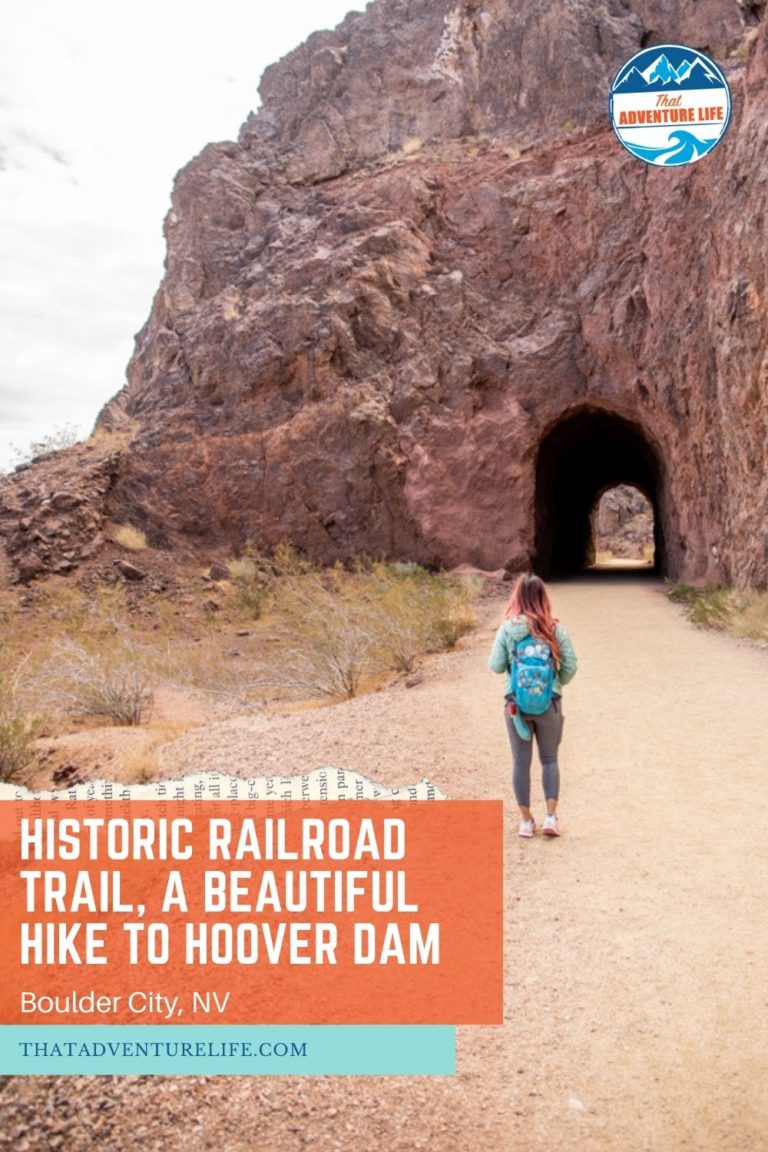
About 1.3 miles, you’ll come across tunnel 1. Just right before this tunnel, there are concrete plugs in the ravine on the right-hand side. These concrete plugs were put in place during the construction of the dam to block the water intake until the turbines were installed. Once passed concrete plugs, you’ll come to tunnel 1 and tunnel 2, one right after the other.
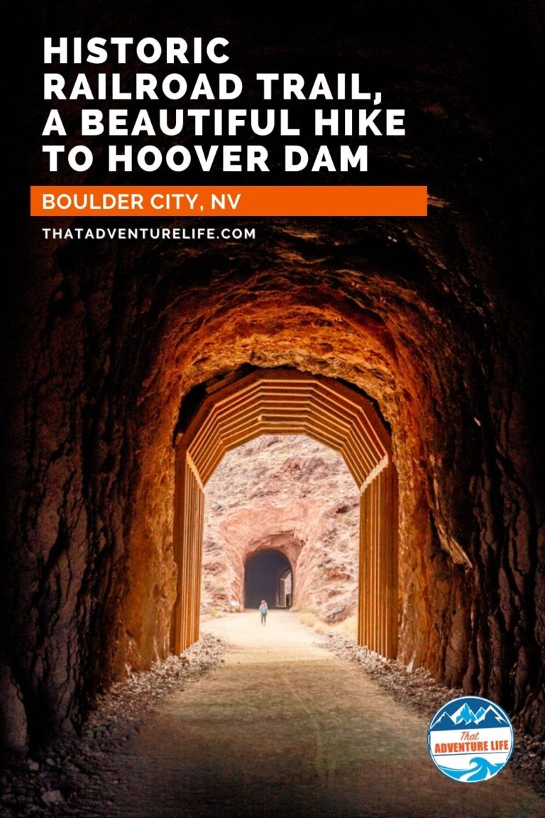
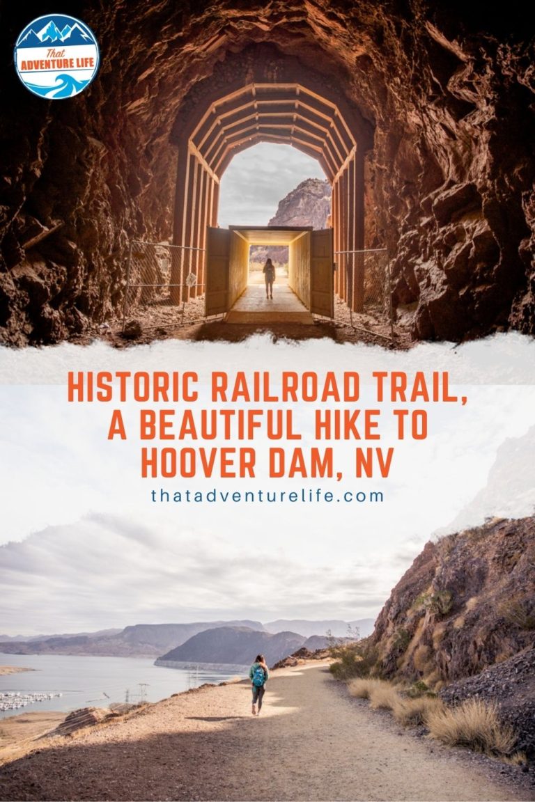
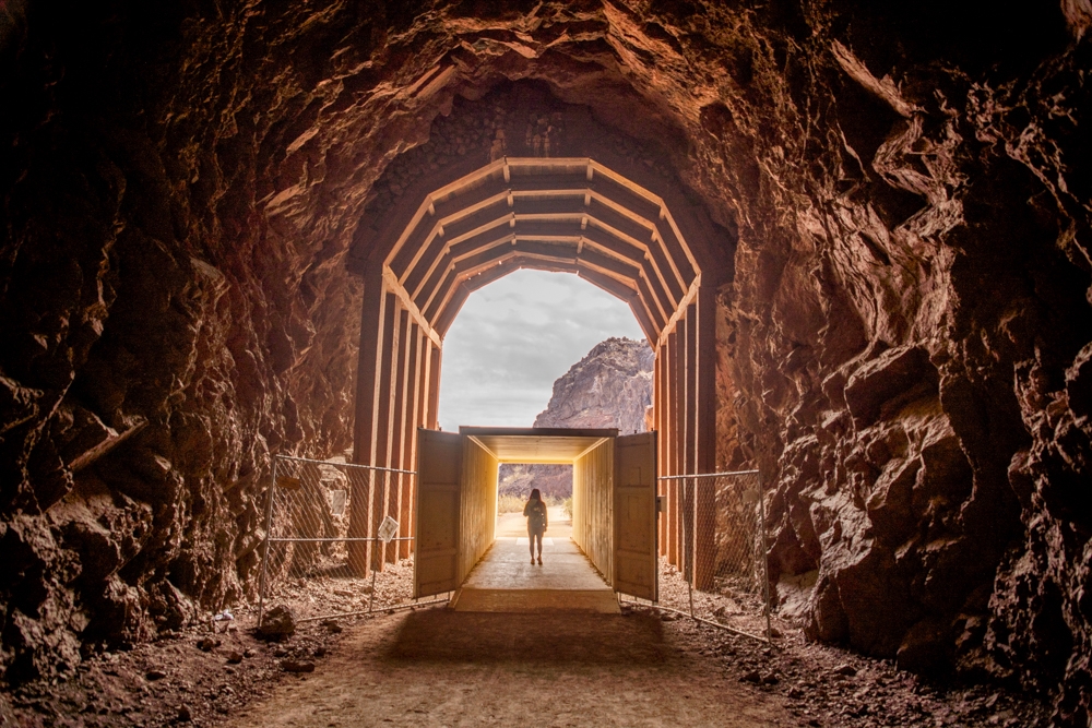
There are 5 tunnels total on the Historic Railroad Trail. It was a marvel to see how tall these tunnels are. Each of them is at least 25 ft in diameter and 300ft in length. They have to be big enough to accommodate giant equipment and building supplies that passed through. It’s crazy to imagine the work and the sheer magnitude of the force that was required to create these tunnels.
Even though these tunnels have existed for over 90 years, tunnel 2 has much more recent history. For some reason, someone thought that it would be fun to set this tunnel on fire in 1990. The structural integrity of the tunnel was compromised, but thanks to a material known as Shotcrete, the walls of the tunnel were able to be repaired and it was once again safe to pass through it.
Quick History About the Area
This whole area has a lot of history to it. As you hike along the trail, you should be able to get a good look at the Las Vegas Boat Harbor that has been open since 1957. It is quite hard to imagine, but during the ’30s when the trains were in operation, there was no water here. Because of that, it was a much more miserable place in the summertime. However, this place was home to the builders of the dam. These builders didn’t live in luxury either… Most people lived in torn-up tents and cardboard structures. This was one of the reasons this place was known as Ragtown. We can’t imagine living in conditions like that during summers that can reach over 120 degrees, but this was during the great depression and times were hard, so at its peak, over 5200 people called the area home.
Photos provided by Department of the Interior, National Park Service, Lake Mead National Recreation Area
Tunnel 3, 4 & 5
About 0.3 miles after tunnel 2, you’ll reach tunnel 3, with tunnel 4 about 20ft after. We had no idea that these tunnels are home to the Mexican free-tailed bats between May through October. They come here every year without fail. There are about 1000 bats in each tunnel in the summer months. These bats eat large amounts of insects such as mosquitoes, beetles, moths, grasshoppers, and locusts every night.
After 2.2 miles into the hike, you’ll reach Tunnel 5, the last tunnel. Tunnel 5 was burned in 1978 and reopened in 2001. Tunnel 5 goes under the Lake Mead overlook. Right after tunnel 5, there is a metal gate that leads into an open area with a primitive restroom and shaded picnic tables. The buildings behind this are fenced off. However, if you look left, there is another gate to pass through. Please note, this gate and the one right after tunnel 5 open during daylight hours only, so please plan accordingly.
From Tunnel 5 to Hoover Dam
At this point, the trail will get more hilly. Once you pass the gates, please make sure to stay on the trail. There are signs along the way to make sure you stay on the correct trail. This part of the trail is more industrial, with fences, buildings, and tons of powerlines. Again, please make sure you don’t trespass.
As you curve around the hills, you’ll come up to a fork with a directional sign. You can go either way. Going straight works best for wheelchairs, strollers but is a bit longer. Going right is shorter, however, it is quite steep. We opted for the shortcut. We followed the trail through a fenced area that has tons of electrical towers and super neat old equipment pieces that were used for the Hoover Dam.
Once we passed through this area, the trail crosses over a small service road and leads to the top of the visitor parking area. From here, you can go down to Hoover Dam by taking the elevator all the way down and following the signages. If you haven’t seen the Hoover Dam, we recommend going down to take in the sights. It is very impressive. Don’t forget, there is a fee to visit the Hoover Dam or to take the tour. If you cross over the street, you can also get a great view of the Mike O’Callaghan–Pat Tillman Memorial Bridge, arched above the beautiful Colorado River. It was kind of funny that we actually see this bridge from the other side when we did the Goldstrike Hot Springs trail.
Going to the Top of the Memorial Bridge
Since both of us had visited Hoover Dam multiple times, we decided to skip the tour and to go up to the Memorial Bridge instead. If you want to do this, it will add another 2 miles or so to your total trip. To get to the top of the bridge, we took the elevator to go back up to the top of the visitor parking lot and made our way back to the service road earlier. From here, we went left for a short distance and make a right onto Hoover Dam access road. About 200ft or so, there is a small parking lot on the right side of the road. From here, there is a crossing that you can cross to the other side. There is a “Welcome to Nevada” sign right next to the crossing.
After crossing over, we followed a well-worn trail to a set of stairs that leads up to a paved parking lot. There is a gate there but you can go through. Once you’re at the parking lot, it is pretty obvious where to go. You can either climb up sets of stairs or take the switchbacks to get to the top. Being up on the bridge gives us another perspective of the impressive Hoover Dam. We do recommend making a trek up here.
Once you’re done with the views, just return back the way you came from. Therefore, make sure to give yourself plenty of daylight to hike back to. Although you won’t get lost easily, the gates close as soon as it gets dark. We love this hike and can’t wait to go back, maybe with our bikes next time. This hike is perfect for any skill level, including kids, family, and people in wheelchairs. We definitely recommend checking this out next time you’re in Las Vegas or the Hoover Dam.
These are the gear that we personally use and find them helpful for this particular adventure. Don’t forget to check out our Recommended Gear section as well.
adventure gear
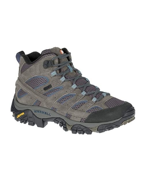
Good hiking shoes are recommended on these adventures. Vy uses the Merrell Women’s Moab 2 hiking boots
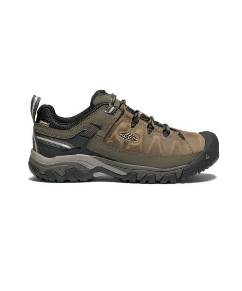
Dustin’s shoes are Targhee III Waterproof
Make sure to use lots of sunscreens! We use eco-friendly, reef-safe sunscreen, Stream2Sea SPF 30.
Face sunscreen is also important. We love these tinted, organic All Good Organic Sunscreen Butter.
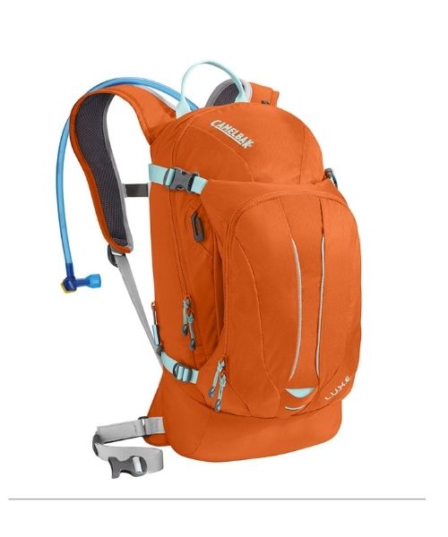
You should always bring plenty of water. Vy loves the Camelback L.U.X.E.
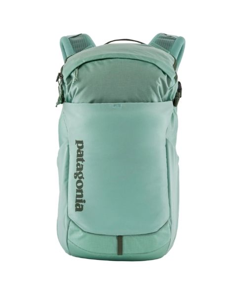
For shorter hikes, the Patagonia Women’s Nine Trails Pack 18L is perfect to hold water and your essentials.
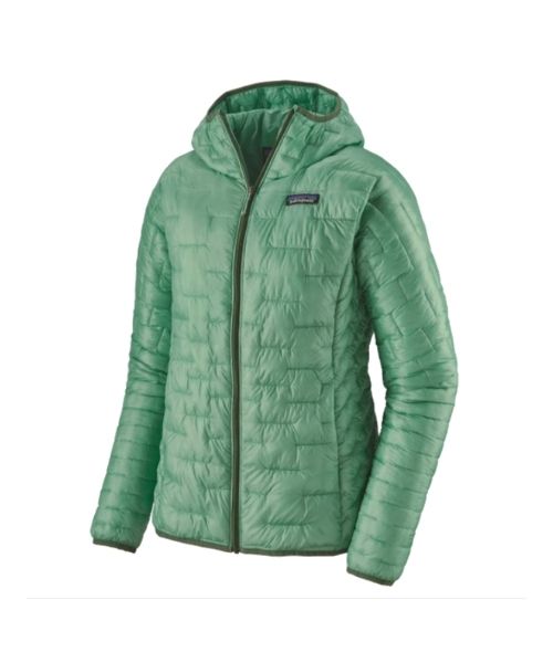
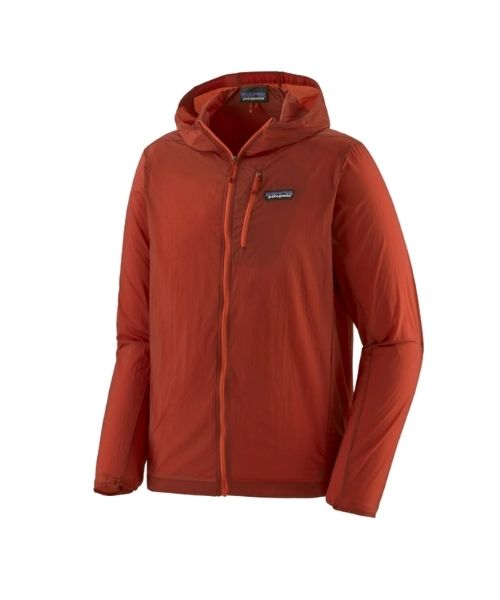
If you want something lighter, we love the packable Patagonia Women’s Houdini® Jacket and Patagonia Men’s Houdini® Jacket
other things to bring
Always good to bring some snacks with you. For healthy and easy snacks, check out some of our recipes.
camera gear
Related Posts
Save your pins:











2 Comments
Budzy
Very detailed, love it! And thank you ✌️ one question though, can you park at the rest area near tunnel 5 and start the ttail from there to tunnel 1?
Vy
Hi, as far as we remember, we don’t believe you can get to the rest area near tunnel 5 by car for the public. There is a viewpoint on top of Tunnel 5, however, it is on a steep hill and there isn’t really any way to get down onto the trail.